

Landkaart Wegenkaart 296 Far North Coast NSW - UBD Gregory's
Tweed Heads- Woolgoolga- Byron Bay- Sandy Hill- Brunswick Heads
Korte omschrijving
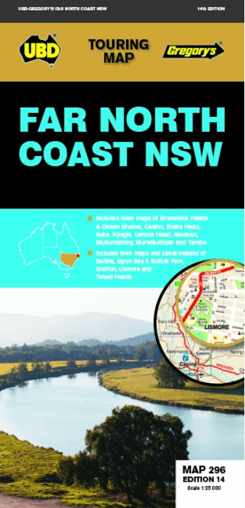
Wegenkaart Far North Coast NSW - UBD Gregory's Productomschrijving: The latest edition of the Far North Coast NSW has been fully revised and updated and includes: Regional touring mappi...

Specificaties
- Uitgever: UBD Gregory's Universal Publishers
- ISBN-13: 9780731931996
- HOOFDCATEGORIEËN: Wegenkaart - Landkaart
- Activiteiten: Street/Road maps & city plans
- Regio: New South Wales, Australië
- Land: Australië
- Schaal: 1:25000
- Editie: 14
- Taal: Engels
- De Australische Regio's: New South Wales
Volledige omschrijving
Wegenkaart Far North Coast NSW - UBD Gregory's
Productomschrijving: The latest edition of the Far North Coast NSW has been fully revised and updated and includes:
Regional touring mapping covering Tweed Heads in the north, Woolgoolga in the south, Byron Bay in the east and Sandy Hill in the west. Maps and street index of Ballina, Byron Bay, Grafton, Lismore and Tweed Heads city centres and surrounding suburbs. Maps of Brunswick Heads/Ocean Shores, Casino, Evans Head, Iluka, Kyogle, Lennox Head, Maclean, Mullumbimby, Murwillumbah and Yamba.
Regional touring attractions and advertisers index.
With so much information included in this handy fold out map this is an essential tool for navigating the Far North Coast New South Wales region for both the tourist and locals alike.
Artikelen uit dezelfde regio

Landkaart Wegenkaart 280 Newcastle Suburban Streets - UBD • 9780731931927
Wegenkaart Newcastle Suburban Streets - Gregory's Productomschrijving: The latest edition of the popular Newcastle Hunter Valley & surrounding region Map 280 features coverage at a scale of 1: 450 000 from Ardglen & North Haven in the north & Bateau Bay in the south and along the coast & Merriwa in the west plus an index to the towns noted on this map on one side. On the other side th…

Landkaart Wegenkaart 295 Port Stephens NSW - UBD Gregory's • 9780731931910
Wegenkaart Port Stephens New South Wales Productomschrijving: The latest edition of the Port Stephens touring map has been fully revised and updated and features: A regional touring map covering Port Stephens, Hawks Nest/Tea Gardens, Karuah, Lemon Tree Passage and Raymond Terrace. Maps and street index of Nelson Bay and surrounding suburbs. Maps of Hawks Nest/Tea Gardens, Karuah, Raym…
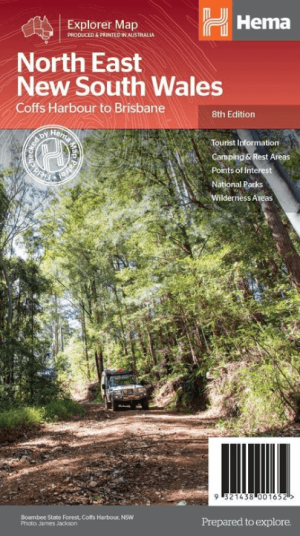
Landkaart Wegenkaart North East New South Wales - Hema Maps • 9321438001652
Wegenkaart North East, New South Wales - Hema Productomschrijving: A regional map of North East New South Wales (1:375,000) that is the perfect companion for touring through North East New South Wales (NSW). The map features information on the major touring routes through the region including the Summerland Way, Bruxner Highway, Waterfall Way and Gwydir Highway, as well as major tourist a…
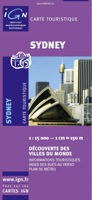
Landkaart Wegenkaart 85314 Sydney Australia - IGN • 9782758512370
Wegenkaart Sydney Australia - IGN Productomschrijving: Deze wegenkaart omvat het volledige Sydney op schaal 1:15.000 (1 cm = 150 m), hij bevat alle touristische wegen als ook Nationale parken. De kaart behoort tot de reeks van de Pays, Découverte du Monde van IGN
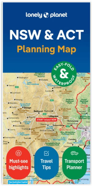
Wegenkaart Planning map New South Wales Australia - Lonely Planet • 9781788688482
Planning map New South Wales Australia - Lonely Planet Productomschrijving: From Lonely Planet: The world's number one travel guide publisher* Durable and waterproof, with a handy slipcase and an easy-fold format, Lonely Planet's New South Wales & the Australian Capital Territory Planning Map helps you explore with ease. Get more from your map and your trip with images and information…