

Landkaart Wegenkaart 283-298 S. Highlands & S. Coast NSW - UBD
Shellharbour- Eden- Goulburn- Braidwood- Batemans Bay Mogo

Korte omschrijving
Wegenkaart Southern Highlands & South Coast NSW Productomschrijving: The latest edition of the Southern Highlands and South Coast NSW regional touring map has been fully revised and updated...

Specificaties
- Uitgever: UBD Gregory's Universal Publishers
- ISBN-13: 9780731931804
- HOOFDCATEGORIEËN: Wegenkaart - Landkaart
- Activiteiten: Street/Road maps & city plans
- Regio: New South Wales, Australië
- Land: Australië
- Schaal: 1:25000
- Editie: 3
- Taal: Engels
- De Australische Regio's: New South Wales
Volledige omschrijving
Wegenkaart Southern Highlands & South Coast NSW
Productomschrijving: The latest edition of the Southern Highlands and South Coast NSW regional touring map has been fully revised and updated. It includes a regional touring map covering the coast from Shellharbour in the north to Eden in the south and west to Goulburn & Braidwood.
There is also street level mapping and indexes at a scale of 1: 25 000 for the towns of Batemans Bay Mogo, Milton Mollymook Ulladulla and Nowra and street level mapping at a scale of 1: 25 000 for the towns of Bega, Berrima, Bowral, Eden, Huskisson Vincentia, Merimbula, Mittagong, Moruya, Moss Vale, Narooma, Sussex Inlet & Tathra. There is also a list of regional touring attractions and advertisers.
With all this information contained in this handy fold up map it is an essential tool to have when either travelling or living in this region.
Artikelen uit dezelfde regio

Landkaart Wegenkaart 295 Port Stephens NSW - UBD Gregory's • 9780731931910
Wegenkaart Port Stephens New South Wales Productomschrijving: The latest edition of the Port Stephens touring map has been fully revised and updated and features: A regional touring map covering Port Stephens, Hawks Nest/Tea Gardens, Karuah, Lemon Tree Passage and Raymond Terrace. Maps and street index of Nelson Bay and surrounding suburbs. Maps of Hawks Nest/Tea Gardens, Karuah, Raym…

Landkaart Wegenkaart New South Wales state map - Hema Maps • 9781925625615
Wegenkaart New South Wales state map - Hema Productomschrijving: A state map of New South Wales (NSW) at a scale of 1:1,500,000. Marked on the map are national parks, points of interest, 24-hour fuel in addition to camping and rest areas. On the reverse side are CBD maps of Sydney and Canberra, as well as a Sydney regional map, a Sydney throughroads map, and maps of Blue Mountains Na…
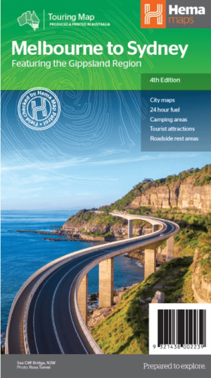
Landkaart Wegenkaart Melbourne tot Sydney - Hema Maps • 9321438002239
Wegenkaart Melbourne tot Sydney - Hema Productomschrijving: A city to city map that stretches from Melbourne to Sydney (1:900,000) that is accompanied by throughroad maps of Sydney and Melbourne. There is comprehensive tourist information for the trip via the Hume and Princes highways, going from Melbourne to Wodonga, Albury to Yass and Yass to Sydney. Incl. The Gippsland Region! …
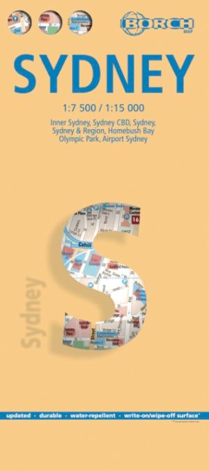
Stadskaart plattegrond Sydney Australia - Borch • 9783866093133
Wandelkaart Sydney Australia - Borch Productomschrijving: Our soft-laminated folded map of Sydney in the 8th edition shows: Inner Sydney 1:15 000, Sydney CBD 1:7 500, Sydney 1:120 000, Sydney & Region 1:450 000, Homebush Bay Olympic Park 1:15 000, Airport Sydney 1:25 000, Public Transport Sydney, Australia administrative & time zones, Top 30 Sights. Borch Maps show hotels, museums, monumen…

Stadskaart plattegrond Melbourne NSW & omgeving - Hema Maps • 9781876413965
Stadskaart Melbourne & omgeving - Hema Productomschrijving: Melbourne CBD, City & Suburbs Map The Melbourne and Region map features a primary map of Greater Melbourne (1:115,000) that includes highways, major roads and local streets, as well as 24-hour fuel, parks and caravan parks. On the reverse is a Melbourne CBD map with accommodation, shopping and other places of interest pinpoin…