

Klimgids Welsh Winter Climbs - Cicerone
Uitstekende samenvatting van klimroutes in de natuur van Wales

Korte omschrijving
Klimgids - Welsh Winter Climbs - Cicerone Productomschrijving: Klimgids, winter beklimmingen in Wales. Alle klassieke winterroutes, plus vele korte rotsbeklimmingen. Bedekt Carneddau, Glyder...

Specificaties
- Uitgever: CICERONE Press
- ISBN-13: 9781852840013
- Activiteiten: Klimmen & Alpinisme
- Regio: Wales
- Land: Wales
- Taal: Engels
- Klimmen: Rotsklimmen
Volledige omschrijving
Klimgids - Welsh Winter Climbs - Cicerone
Productomschrijving: Klimgids, winter beklimmingen in Wales. Alle klassieke winterroutes, plus vele korte rotsbeklimmingen. Bedekt Carneddau, Glyderau, Llanberis, Yr Wyddfa, Nantlle, Lleyn Schiereiland, Moelwynion, Rhinog, Cader Idris, Aran, Dyfi en Berwyn. Het biedt een volledige beschrijving, over het al dan niet beschikbaar zijn van routes, en tackles grading, met klimadvies.
Locatie op kaart
Artikelen uit dezelfde regio

Landkaart Wdgenkaart Engeland Zuid & Wales - Reise Know-How • 9783831774685
Wdgenkaart Engeland Zuid & Wales - Reise Know-How Productomschrijving: De Reise Know-How wegenkaart van Engeland Zuid & Wales is een betrouwbare, gedetailleerde en duurzame landkaart voor wie Engeland Zuid & Wales zelfstandig wil verkennen. Deze hoogwaardige reiskaart is ideaal voor gebruik tijdens een rondreis met de auto, camper, motor of fiets en biedt alle informatie die je nodig hebt…
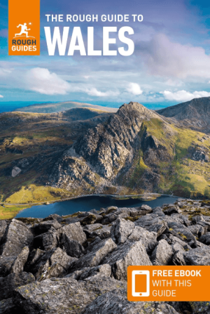
Reisgids Wales - Rough Guides • 9781839059971
Reisgids Wales - Rough Guides Productomschrijving: Discover this beautiful country with the most incisive and entertaining guidebook on the market. Whether you plan to hike through the wilds of Snowdonia, follow in Wordsworth’s footsteps at Tintern Abbey or explore Welsh music and theatre in Swansea, The Rough Guide to Wales will show you the ideal places to sleep, eat, drink and shop alon…
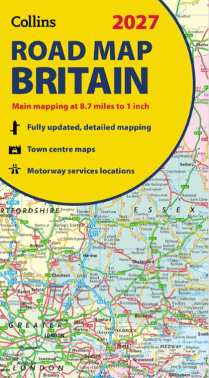
Landkaart Wegenkaart Britain road map 2027 - Harper Collins • 9780008779054
Wegenkaart Britain road map 2027 - Harper Collins Productomschrijving: Full-colour, double-sided road map of Great Britain at a scale of 8.7 miles to 1 inch. Northern England, Scotland and the Isle of Man are on one side with Southern England and Wales on the other. With its political colouring of counties and unitary authorities,this map is ideal for business users but it is also perfect …
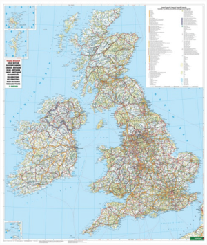
Plano Wandkaart Groot-Brittannië & Ierland - 116 x 99 cm - F&B • 5425013064590
Plano Wandkaart Groot-Brittannië & Ierland Geplastificeerd - F&B Productomschrijving: De plano politieke wandkaarten van Freytag & Berndt brengen elk continent helder in beeld. Grote, duidelijke opgerolde kaart, zonder vouwen. Ideaal om meteen op te hangen in klaslokaal, kantoor of thuis. Landen, hoofdsteden, belangrijke steden en grenzen springen in het oog. Heldere kleuren zorgen voo…

Wandelgids Walk Britain - Vertebrate Publishing • 9781839811449
Wandelgids Walk Britain - Vertebrate Productomschrijving: 90 inspirational car-free walks in England, Scotland and Wales Walk Britain by Elise Downing is an inspirational collection of 90 walking routes accessible by public transport which can enable you to see the best of Great Britain in an environmentally friendly way. The book is organised into easily accessible base locations thr…