
Wegenkaart Planning map Tasmania Australia - Lonely Planet
Tasmania & King Island
Korte omschrijving
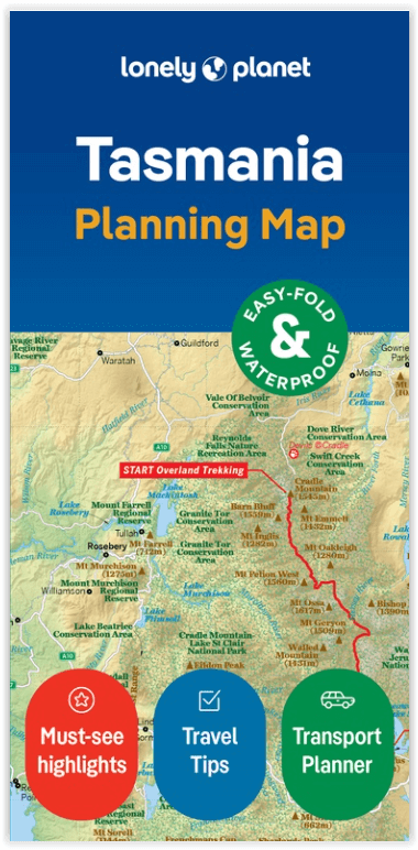
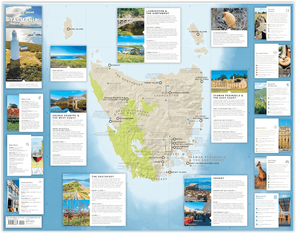
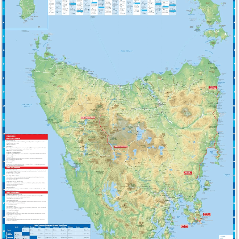
Planning map Tasmania Australia - Lonely Planet Productomschrijving: Durable and waterproof, with a handy slipcase and an easy-fold format, Lonely Planet's Tasmania Planning Map is your esse...

Specificaties
- Uitgever: Lonely Planet Publications
- ISBN-13: 9781788688871
- HOOFDCATEGORIEËN: Wegenkaart - Landkaart
- Activiteiten: Street/Road maps & city plans
- Regio: Tasmania
- Land: Australië
- Editie: 2
- Taal: Engels
- Reeks/Serie: Lonely Planet Planning maps
- De Australische Regio's: Tasmania
Volledige omschrijving
Planning map Tasmania Australia - Lonely Planet
Productomschrijving: Durable and waterproof, with a handy slipcase and an easy-fold format, Lonely Planet's Tasmania Planning Map is your essential navigation tool. This full-colour map features accompanying images and information about top attractions, itinerary suggestions, a transport guide, themed lists and practical travel tips.
- Easy-fold format
- Handy slipcase
- Full colour and easy to use
- Beautiful imagery
- Tailored itineraries
- Can't-miss highlights
- Detailed town index
- Themed lists
Covers: Tasmania, King Island
About Lonely Planet:
Lonely Planet is a leading travel media company, providing both inspiring and trustworthy information for every kind of traveller since 1973. Over the past four decades, we've printed over 145 million guidebooks and phrasebooks for 120 languages, and grown a dedicated, passionate global community of travellers. You'll also find our content online, and in mobile apps, videos, 14 languages, armchair and lifestyle books, ebooks, and more, enabling you to explore every day. 'Lonely Planet guides are, quite simply, like no other.' New York Times 'Lonely Planet. It's on everyone's bookshelves; it's in every traveller's hands. It's on mobile phones. It's on the Internet. It's everywhere, and it's telling entire generations of people how to travel the world.' Fairfax Media (Australia).
Artikelen uit dezelfde regio
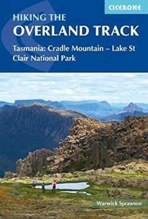
Wandelgids Hiking the overland Track on Tasmania - Cicerone • 9781786310132
Wandelgids - Hiking the overland Track on Tasmania - Cicerone Productomschrijving: Wandelgids over de iconische Overland Track van Tasmanië. De 80 km lange route van Cradle Valley naar Lake St. Clair, beschreven over 7 etappes, voert in gletsjer gesneden valleien, uitgestrekte moerassen van moerasregen, bemoste regenwouden, ruige pieken, donderende watervallen, alpenweiden en vredige meren…
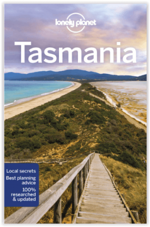
Reisgids Tasmania - Lonely Planet • 9781786571779
Travelguide Tasmania - Lonely Planet Product description: Some say islands are metaphors for the heart. Isolation mightn’t be too good for romance, but Tasmania has turned remoteness into an asset, with unique wilderness and hip arts and food scenes. Lonely Planet will get you to the heart of Tasmania, with amazing travel experiences and the best planning advice: - Inspirational image…

Wegenatlas Tasmanië atlas & gids Tasmanië - Hema Maps • 9321438001973
Wegenatlas Tasmanië atlas & gids - Hema Productomschrijving: The definitive guidebook for discovering Tasmania, featuring the Top 15 4WD Trips of the State and 5 of the best walking tracks. - This first edition Tasmania Atlas & Guide contains 40 atlas pages at a large scale of 1:150 000 in a stunning cartographic style. The guide features the Top 15 4WD Trips for Tassie, which has been…
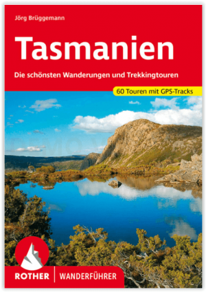
Wandelgids Tasmanien - Tasmanië - Rother Bergverlag • 9783763346585
Tasmanien - Tasmanië - Rother Bergverlag Productomschrijving: Tasmanië, de kleinste staat van Australië, verwent met ongerepte natuur, exotische planten en onbekende dieren - een waar paradijs voor liefhebbers van outdoor en trektochten. De Rother wandelgids "Tasmanië" presenteert de 60 mooiste wandelingen en trektochten op het groene eiland. Het aanbod varieert van korte ontdekkingswandel…
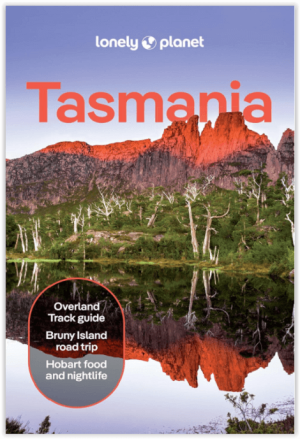
Reisgids Tasmania - Lonely Planet • 9781838699642
Reisgids Tasmania - Engelstalig Productomschrijving : Some say islands are metaphors for the heart. Isolation mightn’t be too good for romance, but Tasmania has turned remoteness into an asset, with unique wilderness and hip arts and food scenes. Lonely Planet will get you to the heart of Tasmania, with amazing travel experiences and the best planning advice: - Inspirational images…