

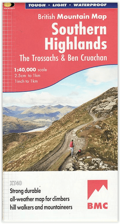
Wandelkaart Southern Highlands - XT40 BMM - Harvey Maps
63 heuvels
Korte omschrijving
Wandelkaarten Southern Highlands, Schotland van HARVEY MAPS. Ideaal voor tochten in Schotland.
Wandelkaart Southern Highlands - Harvey Maps Productomschrijving: Deze Harvey BMC bergkaart voor de Southern Highlands beslaat 63 heuvels van meer dan 1200 meter. Het is gedrukt op polyethyl...

Specificaties
- Uitgever: HARVEY MAPS
- ISBN-13: 9781851376674
- HOOFDCATEGORIEËN: Wandelgids
- Activiteiten: Wandelen, Hiking & Trekking
- Regio: Southern Highlands, Schotland
- Land: Schotland
- Schaal: 1:40000
- Taal: Engels
- Reeks/Serie: National Trails, UK, Superwalker XT40, Harvey Maps
- Iconische Bergketens van Europa: De Schotse Highlands
Volledige omschrijving
Wandelkaart Southern Highlands - Harvey Maps
Productomschrijving: Deze Harvey BMC bergkaart voor de Southern Highlands beslaat 63 heuvels van meer dan 1200 meter. Het is gedrukt op polyethyleen - duurzaam, scheurvast en 100% waterdicht met kleur arceringen voor eenvoudige identificatie van heuvels en valleien.
De kaart bevat namen van rotsen en diagrammen van rotsen. Geologische kaart van het gebied, speciaal ontworpen door de British Geological Survey. Met tips over het gebruik van uw kaart en kompas, advies over bergincidenten en eerste hulp. Nuttige lokale telefoonnummers en websites en een uitbreiding voor Cruachan.
- Gedetailleerde kaart van de Zuidelijke Hooglanden.
- Uivergroting van Ben Cruachan en Ben Vorlich.
- Deze kaart toont 63 heuvels van meer dan 2000 voet, waaronder 25 Munro's, 24 Corbetts en 14 Grahams.
- De kaart is sterk, licht, duurzaam en 100% waterbestendig
Engelse omschrijving: This Harvey BMC mountain map for the Southern Highlands covers 63 hills over 2,000 feet. It is printed on polyethylene - durable, tear-proof and 100% waterproof with colour shading for easy identification of hills and valleys. It includes names crags and crag diagrams. Geological map of the area specially designed by the British Geological Survey. With tips on using your map and compass, mountain incident and first aid advice. Useful local phone numbers and websites and a extension to cover Cruachan.
Locatie op kaart
Artikelen uit dezelfde regio
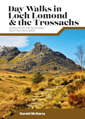
Wandelgids Day Walks in Loch Lomond & the Trossachs NP • 9781839810718
Day Walks in Loch Lomond & the Trossachs - Vertebrate Productomschrijving: 20 routes in the southern Scottish Highlands Day Walks in Loch Lomond & the Trossachs National Park features 20 day-length routes suitable for hillwalkers of all abilities. Researched and written by experienced local walker Gerald McGarry, the walks explore the highlights of the Loch Lomond & The Trossachs N…
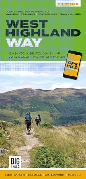
Wandelkaart West Highland Way - Vertebrate Publ. • 9781839810329
The West Highland Way - Vertebrate Productomschrijving: Easy-to-use folding map and essential information, with custom itinerary planning for walkers, trekkers, fastpackers and trail runners West Highland Way Guidemap from Vertebrate Publishing is a lightweight, waterproof, durable and easy-to-use folding map with 1:40,000-scale mapping for the south to north WHW route. Includes route …

Wandelgids Corbetts walking guide 2 - Cicerone • 9781852846534
Wandelgids - Corbetts walking guide 2 - Cicerone Productomschrijving: "Corbetts walking guide 2 North of the Great Glen" worden routes beschreven van alle 112 Schotse Corbetts (Schotland's 2500-2999ft bergen) ten zuiden van de Great Glen, die betrekking hebben op de zuidelijke hooglanden, Southern Highlands, Cairngorms, Jura en Arran. Deze Schotse heuvels zijn elk beetje zo interessant als…
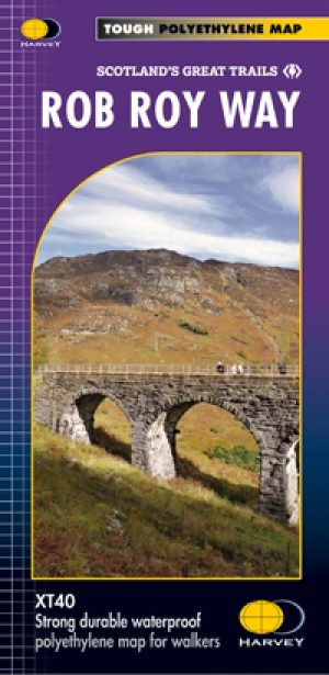
Wandelkaart Rob Roy Way National trail - Harvey maps • 9781851375196
Wandelkaart Rob Roy Way - National trail - Harvey maps Productomschrijving: Rob Roy way, is een wandeling over een deel van de Southern Highlands van Schotland door enkele van de meest prachtige landschappen in het Verenigd Koninkrijk. Vanaf Drymenin, het noordoosten tot Pitlochry. De way is 77mls of 94 mls (124 Km of 151 Km) afhankelijk van de routekeuze. De tracks en de paden die u volgt…

Wandelgids South of the Great Corbetts - Cicerone • 9781852846527
Wandelgids - South of the Great Corbetts - Cicerone Omvat: Routes van alle 112 Schotse Corbetts Productomschrijving: In "Walking the Corbetts" worden routes van alle 112 Schotse Corbetts beschreven (Schotland's 2500-2999ft bergen) ten zuiden van de Great Glen, die betrekking hebben op de zuidelijke hooglanden, Southern Highlands, Cairngorms, Jura en Arran. Deze Schotse heuvels zijn elk…