

Wandelgids Corbetts walking guide 2 - Cicerone
Deel 2 - North of the Great Glen


Korte omschrijving
Wandelgidsen Southern Highlands, Schotland van CICERONE Press. Ideaal voor tochten in Schotland.
Wandelgids - Corbetts walking guide 2 - Cicerone Productomschrijving: "Corbetts walking guide 2 North of the Great Glen" worden routes beschreven van alle 112 Schotse Corbetts (Schotland's 2...

Specificaties
- Uitgever: CICERONE Press
- ISBN-13: 9781852846534
- HOOFDCATEGORIEËN: Wandelgids
- Activiteiten: Wandelen, Hiking & Trekking
- Regio: Southern Highlands, Schotland
- Land: Schotland
- Editie: 1
- Taal: Engels
Volledige omschrijving
Wandelgids - Corbetts walking guide 2 - Cicerone
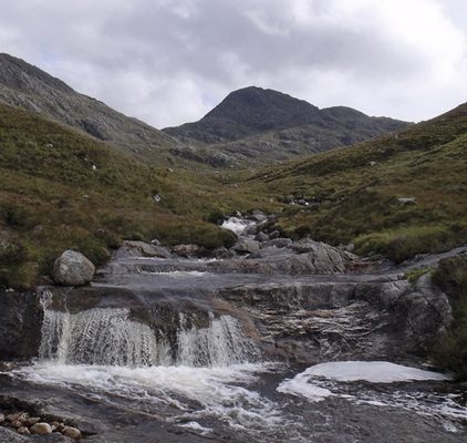
Productomschrijving: "Corbetts walking guide 2 North of the Great Glen" worden routes beschreven van alle 112 Schotse Corbetts (Schotland's 2500-2999ft bergen) ten zuiden van de Great Glen, die betrekking hebben op de zuidelijke hooglanden, Southern Highlands, Cairngorms, Jura en Arran. Deze Schotse heuvels zijn elk beetje zo interessant als de Munros. De Corbetts – Schotland's bergen tussen 2500 en 2999 ft in hoogte – zijn minder bezocht maar in de meeste gevallen toegankelijker dan de ooit-populaire Munros, en bieden vaak een beter uitzicht wanneer de 3000ers zijn gehuld in een wolk.
Detail: Hun lagere hoogte betekent ook dat de wandelingen korter neigen te zijn, die gemakkelijk kunnen worden aangepakt tussen ontbijt en diner en tijdens de korte daglicht uren in de winter.
Engelse omschrijving: The guidebook describes walking routes up all 109 Corbetts north of the Great Glen (Scotland's 2500-2999ft mountains). From Ardgour to Cape Wrath including Knoydart, Applecross and Torridon, as well as Mull, Rum, Harris and Skye. For walkers who want interesting routes up these spectacular and lesser-known hills. Part of a 2-volume set.
Seasons:
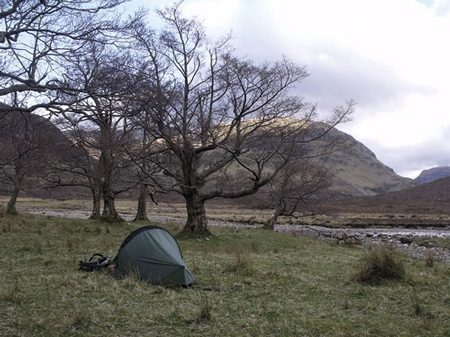
The Corbetts can be climbed at any time of year, but the guide assumes the mountains are climbed when they are free of snow.
Centres:
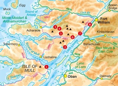
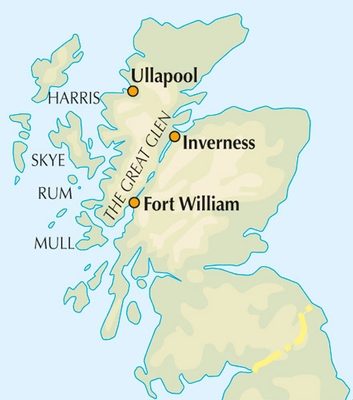
Mull, Rum, Skye, Harris, Northern Highlands, Ullapool, Inverness, Fort William.
Difficulty:
Most of the Corbetts north of the Great Glen are rough, rocky mountains, but few of the routes in the guide involve scrambling.
Must See:
109 Corbetts in 91 routes, including An Stac, Carn Mor, Meall Dubh, Beinn a' Chaisteil and Ben Loyal.

Locatie op kaart
Artikelen uit dezelfde regio
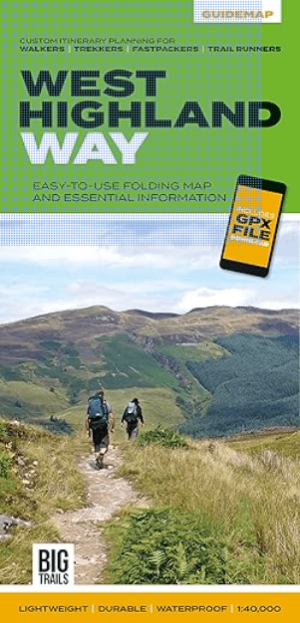
Wandelkaart West Highland Way - Vertebrate Publ. • 9781839810329
The West Highland Way - Vertebrate Productomschrijving: Easy-to-use folding map and essential information, with custom itinerary planning for walkers, trekkers, fastpackers and trail runners West Highland Way Guidemap from Vertebrate Publishing is a lightweight, waterproof, durable and easy-to-use folding map with 1:40,000-scale mapping for the south to north WHW route. Includes route …
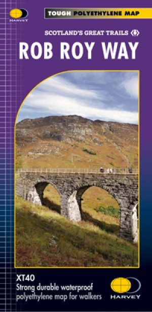
Wandelkaart Rob Roy Way National trail - Harvey maps • 9781851375196
Wandelkaart Rob Roy Way - National trail - Harvey maps Productomschrijving: Rob Roy way, is een wandeling over een deel van de Southern Highlands van Schotland door enkele van de meest prachtige landschappen in het Verenigd Koninkrijk. Vanaf Drymenin, het noordoosten tot Pitlochry. De way is 77mls of 94 mls (124 Km of 151 Km) afhankelijk van de routekeuze. De tracks en de paden die u volgt…

Wandelgids South of the Great Corbetts - Cicerone • 9781852846527
Wandelgids - South of the Great Corbetts - Cicerone Omvat: Routes van alle 112 Schotse Corbetts Productomschrijving: In "Walking the Corbetts" worden routes van alle 112 Schotse Corbetts beschreven (Schotland's 2500-2999ft bergen) ten zuiden van de Great Glen, die betrekking hebben op de zuidelijke hooglanden, Southern Highlands, Cairngorms, Jura en Arran. Deze Schotse heuvels zijn elk…
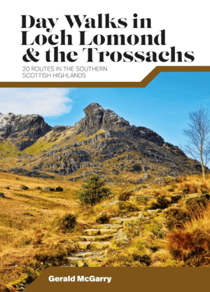
Wandelgids Day Walks in Loch Lomond & the Trossachs NP • 9781839810718
Day Walks in Loch Lomond & the Trossachs - Vertebrate Productomschrijving: 20 routes in the southern Scottish Highlands Day Walks in Loch Lomond & the Trossachs National Park features 20 day-length routes suitable for hillwalkers of all abilities. Researched and written by experienced local walker Gerald McGarry, the walks explore the highlights of the Loch Lomond & The Trossachs N…
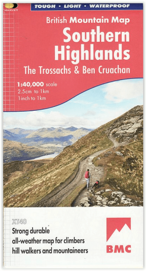
Wandelkaart Southern Highlands - XT40 BMM - Harvey Maps • 9781851376674
Wandelkaart Southern Highlands - Harvey Maps Productomschrijving: Deze Harvey BMC bergkaart voor de Southern Highlands beslaat 63 heuvels van meer dan 1200 meter. Het is gedrukt op polyethyleen - duurzaam, scheurvast en 100% waterdicht met kleur arceringen voor eenvoudige identificatie van heuvels en valleien. De kaart bevat namen van rotsen en diagrammen van rotsen. Geologische kaart…