

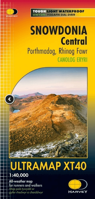
Wandelkaart Snowdonia Central XT40 Ultra - Harvey Maps
Rhinog Fawr- Rhinog Fach & Moelwyn Mawr
Korte omschrijving
Wandelkaarten Wales van HARVEY MAPS. Ideaal voor tochten in Wales.
Wandelkaart Snowdonia Central - Harvey Maps Productomschrijving: Omvat een groot gebied maar is praktisch en compact, zakformaat. Gedetailleerde kaart voor lopers en wandelaars van het cent...

Specificaties
- Uitgever: HARVEY MAPS
- ISBN-13: 9781851376780
- HOOFDCATEGORIEËN: Wandelkaart
- Activiteiten: Wandelen, Hiking & Trekking
- Regio: Wales
- Land: Wales
- Nationale parken: Snowdonia NP, Wales UK
- Schaal: 1:40000
- Taal: Engels
- Reeks/Serie: National Trails, UK, Superwalker XT40, Harvey Maps
- Wandelen in de Bossen & natuurgebieden van Europa: Snowdonia, Wales
Volledige omschrijving
Wandelkaart Snowdonia Central - Harvey Maps
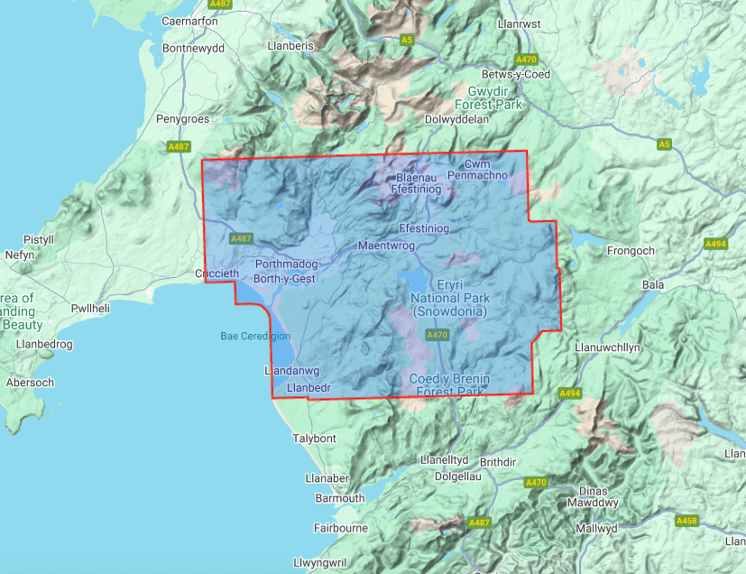
Productomschrijving: Omvat een groot gebied maar is praktisch en compact, zakformaat. Gedetailleerde kaart voor lopers en wandelaars van het centrale deel Snowdonia National Park.
Omvat : Rhinog Fawr, Rhinog Fach en Moelwyn Mawr.
Welsh-Engelse tekst.
Heeft de voordelen van zijn grotere broers:
- Inclusief opengestelde wegen
- Gebruik zonder plastic hoesje: stevig en 100% waterbestendig
- Opent direct aan beide zijden van het blad
Artikelen uit dezelfde regio
Wandelgids Bannau Brycheiniog - Brecon Beacons Wales - Cicerone • 9781786312358
Bannau Brycheiniog - Brecon Beacons Wales - Cicerone Productomschrijving: Would you like to explore the best of the Brecon Beacons? This guidebook covers 15 of the best short walks in the area (between 4 and 9km), including Henrhyd Falls, Pen y Fan, Table Mountain, Sugar Loaf, Craig y Cilau and Ysgyryd Fawr. Why choose this guidebook? - Walks under three hours, plus one challenge r…

Plano Routeplanner Wandkaart Groot-Brittannië 84 x 119 - Lovell J • 9781904892663
Wandkaart Groot-Brittannië 84 x 119 - Lovell Johns Productomschrijving: De routeplannerkaart van het Verenigd Korinkrijk toont de snelwegen, hoofdwegen en transportknooppunten zoals vliegvelden en spoorlijnen in het VK. De routeplannerkaart toont de belangrijkste steden en hun geschatte bevolking op de Britse eilanden. De kaart bevat ook een nuttige afstandentabel. Zeer nuttig bij het orga…

Reisgids Great Britain - Rough Guides • 9781835290415
Great Britain reisgids - Rough Guides Productomschrijving: Full-colour throughout, The Rough Guide to Britain is the ultimate guide to Rough Guides’ home patch. With 30 years experience and our trademark ‘tell it like it is’ writing style, Rough Guides cover all the basics with practical, on-the-ground details, as well as unmissable alternatives to the usual must-see sights. At the top of …
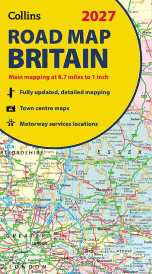
Landkaart Wegenkaart Britain road map 2027 - Harper Collins • 9780008779054
Wegenkaart Britain road map 2027 - Harper Collins Productomschrijving: Full-colour, double-sided road map of Great Britain at a scale of 8.7 miles to 1 inch. Northern England, Scotland and the Isle of Man are on one side with Southern England and Wales on the other. With its political colouring of counties and unitary authorities,this map is ideal for business users but it is also perfect …
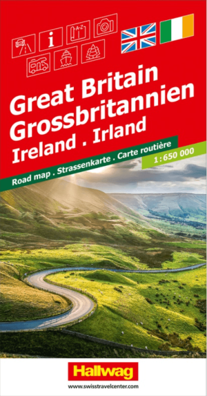
Landkaart Wegenkaart Road Map Groot-Brittannië & Ierland - Halwag • 9783828310780
Wegenkaart Road Map Groot-Brittannië & Ierland - Halwag Productomschrijving: Op zoek naar betrouwbare Hallwag wegenkaarten? Deze klassieke road maps staan bekend om hun duidelijke cartografie, praktische indeling en heldere weergave van wegen en verbindingen. Voor autoritten, vakanties, camperreizen en lange roadtrips bieden Hallwag wegenkaarten het overzicht dat je onderweg nodig hebt. …