

Wandelkaart Fietskaart TOP100 D35 Ille-et-Vilaine Bretgane - IGN
Rennes- Fougeres- Saint Malo- Baie de mont Saint Michel


Korte omschrijving
Wandelkaarten Bretagne, Frankrijk van Institut Géographique National. Ideaal voor tochten in Frankrijk.
Wandelkaart Fietskaart Ille-et-Vilaine - IGN Productomschrijving: Het departement Ille-et-Vilaine lligt in de regio Bretagne. Omvat: Rennes - Fougeres - Saint Malo - Baie de mont Saint M...

Specificaties
- Uitgever: Institut Géographique National
- ISBN-13: 9782758553267
- HOOFDCATEGORIEËN: Fietskaart, Wandelkaart
- Activiteiten: Fietsen / VTT / MTB, Wandelen, Hiking & Trekking
- Regio: Bretagne, Frankrijk
- Land: Frankrijk
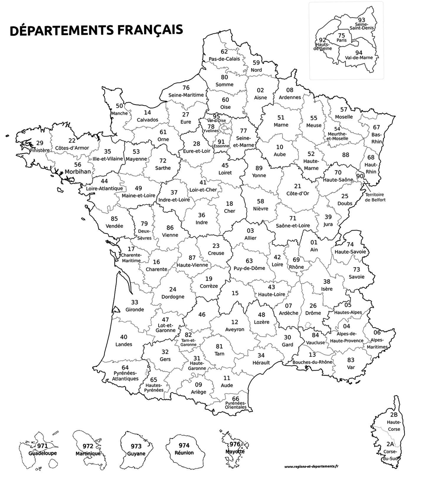
- Departement: Ille-et-Vilaine (35)
- TOPO's & Stafkaarten: Topografisch - fietsen, Topografisch wandelen
- Schaal: 1:100000
- Editie: 1
- Taal: Frans
- Reeks/Serie: IGN France - TOP Cartes en Reliëf
- Fietsen: Fietsen in het Buitenland
- De Franse Regio's: Bretagne
Volledige omschrijving
Wandelkaart Fietskaart Ille-et-Vilaine - IGN
Productomschrijving: Het departement Ille-et-Vilaine lligt in de regio Bretagne.
Omvat: Rennes - Fougeres - Saint Malo - Baie de mont Saint Michel.
Franse omschrijving: Cette nouvelle édition possède un nouveau découpage départemental. Elle intègre les parcours vélo en partenariat avec l'association AF3V – VéloRoutes et Voies Vertes. La nouvelle TOP 100 grâce à son échelle au 1:100 000ème (1 cm = 1 km) est la carte idéale pour découvrir une région et faire du tourisme à pied, à vélo ou en voiture. Un grand nombre d’informations touristiques sont représentées de façon très précises dans la cartographie : parcs et réserves naturelles, monuments, châteaux, musées, grottes, point de vues, refuges, site d’escalade et de sport en eau vive, plages surveillées…
Un re´seau de routes secondaires enrichi, pour permettre des balades a` ve´lo en toute se´curite´ :
• Pour la découverte à pied, l’intégralité des GR® et GR de Pays®
• Pour la découverte à vélo, l’ensemble du réseau routier local et l’intégralités des Vélo-routes et Voies Vertes avec la classification AF3V avec les routes goudronnées ou empierrées, en site propre ou partagées avec d’autres véhicules
• Pour la découverte en voiture, l’intégralité du réseau routier : national, régional, départemental et secondaire.
Pour compléter la cartographie :
• le relief est représenté par les courbes de niveau et les points cotés
• un index des communes permet de se repérer facilement
Des codes produits adaptés: D + N° du département.

Overzichtskaarten

IGN France > TOP100 D-reeks - Departementale 1:100.000
IGN France > TOP100 D-reeks - Departementale 1:100.000
Producten op de overzichtskaart
Klik op een product om naar de detailpagina te gaan.
- Wandelkaart Fietskaart TOP100 D01 Ain - IGN
- Wandelkaart Fietskaart TOP100 D02 Aisne - IGN
- Wandelkaart Fietskaart TOP100 D03 Allier - IGN
- Wandelkaart Fietskaart TOP100 D04 Alpes-de-Haute-Provence- IGN
- Wandelkaart Fietskaart TOP100 D05 Hautes-Alpes - IGN
- Wandelkaart Fietskaart TOP100 D06 Alpes-Maritimes - IGN
- Wandelkaart Fietskaart TOP100 D07 Ardèche - IGN
- Wandelkaart Fietskaart TOP100 08 Ardennes - IGN
- Wandelkaart Fietskaart TOP100 D09 Ariège - IGN
- Wandelkaart Fietskaart TOP100 D10 Aube & PNR de la Forêt d'Orient - IGN
- Wandelkaart Fietskaart TOP100 D11 Aude - IGN
- Wandelkaart FietskaartTOP100 D12 Aveyron Occitanië - IGN
- Wandelkaart Fietskaart TOP100 D13 Bouches-du-Rhône - IGN
- Wandelkaart Fietskaart TOP100 D14 Calvados, Caen, Honfleur - IGN
- Wandelkaart Fietskaart TOP100 D15 Cantal, Aurillac, St Flour - IGN
- Wandelkaart Fietskaart TOP100 D16 Charente, Angoulême, Cognac - IGN
- Wandelkaart Fietskaart TOP100 D17 Charente-Maritime - IGN
- Wandelkaart Fietskaart TOP100 D18 Cher - IGN
- Wandelkaart Fietskaart TOP100 D19 Corrèze - IGN
- Wandelkaart Fietskaart TOP100 D21 Côte d'Or - IGN
- Wandelkaart Fietskaart TOP100 D22 Côtes-d'Armor Bretagne - IGN
- Wandelkaart Fietskaart TOP100 D23 Creuse Nouvelle-Aquitaine - IGN
- Wandelkaart Fietskaart TOP100 D24 Dordogne - IGN
- Wandelkaart Fietskaart TOP100 D25 Doubs - IGN
- Wandelkaart Fietskaart TOP100 D26 Drôme Auvergne-Rhône-Alpes - IGN
- Wandelkaart Fietskaart TOP100 D27 Eure - IGN
- Wandelkaart Fietskaart TOP100 D2A Corse-du-Sud - IGN
- Wandelkaart Fietskaart TOP100 D2B Haute-Corse - IGN
- Wandelkaart Fietskaart TOP100 D28 Eure-et-Loir - IGN
- Wandelkaart Fietskaart TOP100 D29 Finistère Bretagne - IGN
- Wandelkaart Fietskaart TOP100 D30 Gard - IGN
- Wandelkaart Fietskaart TOP100 D31 Haute-Garonne - IGN
- Wandelkaart Fietskaart TOP100 D32 Gers - IGN
- Wandelkaart Fietskaart TOP100 D33 Gironde Nouvelle-Aquitaine - FFR
- Wandelkaart Fietskaart TOP100 D34 Hérault - IGN
- Wandelkaart Fietskaart TOP100 D35 Ille-et-Vilaine Bretgane - IGN
- Wandelkaart Fietskaart TOP100 D36 Indre - IGN
- Wandelkaart Fietskaart TOP100 D37 Indre-et-Loire - IGN
- Wandelkaart Fietskaart TOP100 D38 Isère Auvergne-Rhône-Alpes - IGN
- Wandelkaart Fietskaart TOP100 D39 Jura - IGN
- Wandelkaart Fietskaart TOP100 D40 Landes Nouvelle-Aquitaine - FFR
- Wandelkaart Fietskaart TOP100 D41 Loir-et-Cher -IGN
- Wandelkaart Fietskaart TOP100 D42 Loire - IGN
- Wandelkaart Fietskaart TOP100 D43 Haute-Loire - IGN
- Wandelkaart Fietskaart TOP100 D44 Loire-Atlantique Pays-de-Loire - IGN
- Wandelkaart Fietskaart TOP100 D45 Loiret - IGN
- Wandelkaart Fietskaart TOP100 D46 Lot Occitanië - FFR
- Wandelkaart Fietskaart TOP100 D47 Lot-et-Garonne - FFR
- Wandelkaart Fietskaart TOP100 D48 Lozère - IGN
- Wandelkaart Fietskaart TOP100 D49 Maine-et-Loire Pays-de-la-Loire - IGN
- Wandelkaart Fietskaart TOP100 D50 Manche Normandië - FFR
- Wandelkaart Fietskaart TOP100 D51 Marne - IGN
- Wandelkaart Fietskaart TOP100 D52 Haute-Marne Grand-Est - FFR
- Wandelkaart Fietskaart TOP100 D53 Mayenne Pays-de-le-Loire - IGN
- Wandelkaart Fietskaart TOP100 D54 Meurthe-et-Moselle - IGN
- Wandelkaart Fietskaart TOP100 D55 Meuse Grand-Est - FFR
- Wandelkaart Fietskaart TOP100 D56 Morbihan Bretagne - IGN
- Wandelkaart Fietskaart TOP100 D57 Moselle - IGN
- Wandelkaart Fietskaart TOP100 D58 Nièvre - FFR
- Wandelkaart Fietskaart TOP100 D59 Le Nord - IGN
- Wandelkaart Fietskaart TOP100 D60 Le Oise - IGN
- Wandelkaart Fietskaart TOP100 D61 Le Orne - IGN
- Wandelkaart Fietskaart TOP100 D62 Pas-de-Calais - IGN
- Wandelkaart Fietskaart TOP100 D63 Puy-de-Dôme - IGN
- Wandelkaart Fietskaart TOP100 D64 Pyrénées-Atlantiques - IGN
- Wandelkaart Fietskaart TOP100 D65 Hautes-Pyrénées - IGN
- Wandelkaart Fietskaart TOP100 D66 Pyrénées-Orientales - IGN
- Wandelkaart Fietskaart TOP100 D67 Bas-Rhin - IGN
- Wandelkaart Fietskaart TOP100 D69 Rhône - IGN
- Wandelkaart Fietskaart TOP100 D70 Haute-Saône - IGN
- Wandelkaart Fietskaart TOP100 D71 Saône-et-Loire - IGN
- Wandelkaart Fietskaart TOP100 D72 Sarthe Pays-de-la-Loire - IGN
- Wandelkaart Fietskaart TOP100 D73 Savoie Auvergne-Rhône-Alpes - IGN
- Wandelkaart Fietskaart TOP100 D74 Haute-Savoie Auvergne-Rhône-Alpes- IGN
- Wandelkaart Fietskaart TOP100 D75E Ile-de-France - IGN
- Wandelkaart Fietskaart TOP100 D75O Ile-de-France - IGN
- Wandelkaart Fietskaart TOP100 D76 Seine-Maritime - IGN
- Wandelkaart Fietskaart TOP100 D79 Deux-Sèvres - FFR
- Wandelkaart Fietskaart TOP100 D80 Somme - IGN
- Wandelkaart Fietskaart TOP100 D81 Tarn - IGN
- Wandelkaart Fietskaart TOP100 D82 Tarn-et-Garonne - IGN
- Wandelkaart Fietskaart TOP100 D83 Var - IGN
- Wandelkaart Fietskaart TOP100 D84 Vaucluse - IGN
- Wandelkaart Fietskaart TOP100 D85 Vendée - FFR
- Wandelkaart Fietskaart TOP100 D86 Le Vienne - IGN
- Wandelkaart Fietskaart TOP100 D87 Haute-Vienne - FFR
- Wandelkaart Fietskaart TOP100 D88 Vosges - IGN
- Wandelkaart Fietskaart TOP100 D89 Yonne - FFR
Artikelen uit dezelfde regio

Fietsgids Bretagne par les voies vertes - Ed. Ouest-france • 9782737388033
Fietsgids Bretagne - par les voies vertes - Ouest-france Productomschrijving: De kanalen volgen soms de kust, een "natuurlijke" ontdekking van Bretagne per fiets, maar ook te voet of te paard. - Meer dan 700 km speciale routes, van Finistère tot Morbihan, van Ille-et-Vilaine tot Côtes-d'Armor, van de Manche tot de monding van de Loire... - 8 grote Bretonse routes, 30 etappes van 4…
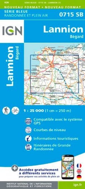
Wandelkaart 0715 SB Lannion & Bégard - IGN • 9782758541035
Wandelkaart 0715 SB - Lannion & Bégard - IGN Productomschrijving: Lannion & Bégard zijn gemeentes in het Franse departement Côtes-d'Armor, in de regio Bretagne. De plaats maakt deel uit van het arrondissement Lannion. Desciptive produits: Entre 2014 et 2018, l’IGN renouvelle l’intégralité de sa collection SERIE BLEUE. Une nouvelle cartographie pour une lisibilité optimale, avec une mei…

Wandelkaart 0517 OT Plougastel-Daoulas & Le Faou - IGN • 9782758553618
Wandelkaart Plougastel-Daoulas & Le Faou - IGN Productomschrijving: Plougastel-Daoulas & Le Faou zijn gemeente in het Franse departement Finistère in de regio Bretagne. De plaats maakt deel uit van het arrondissement Brest. De TOP 25-serie is de cartografische referentie in Frankrijk: - een nauwkeurige beschrijving van het grondgebied op een schaal van 1: 25.000 (1 cm = 250 m) - Ge…

Reisgids Côtes d'Armor - France - Ed. Ouest-France • 9782737365904
Reisgids Côtes d'Armor - Ed. Ouest-France Productomschrijving: Met zijn 340 kilometer lange kust, heeft de Cotes d'Armor zijn naam niet gestolen. Perros-Guirec Breat & Binic in Cap Fréhel, de randen van het kanaal nodigen u uit om te gaan zeilen, naast de aarde, en daar zingt de zeelucht. Franse omschrijving: Avec ses 340 kilomètres de côtes, les Côtes-d'Armor n'ont pas volé leur nom…
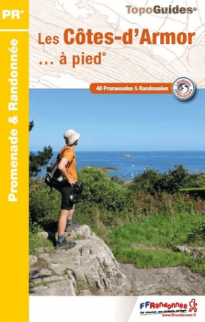

Wandelgids D022 Côtes-d' Armor à pied - FFR • 9782751410871
Wandelgids D022 - Côtes-d' Armor à pied Productomschrijving: 42PR van Dinan tot Lannion, een concentraat van Bretonse landschappen: heidevelden, megalieten & varens. De Côtes-d'Armor, het land van gewaagde kapen en diepe baaien, biedt stranden en vissershavens langs een kronkelende kustlijn waar het groene water van de Smaragdkust en de rotsachtige chaos van de Roze graniet. Het zuiden van…