

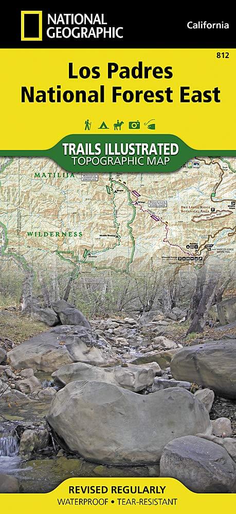
Wandelkaart 812 Los Padres Nat. Forest East - Natgeo
Het bos is uitermate gekend voor mountainbikers en hikers
Korte omschrijving
Wandelkaarten Californië, USA van National Geographic. Ideaal voor tochten in Verenigde Staten van Amerika (USA).
TOPO Wandelkaart 812 - Los Padres Nat. Forest East - Natgeo Productomschrijving: Los Padres National Forest is een bosgebied in Amerika, meerbepaald in oost- en centraal California. Het bos ...

Specificaties
- Uitgever: National Geographic
- ISBN-13: 9781566955805
- HOOFDCATEGORIEËN: Wandelkaart
- Auteur: National Geographic
- Regio: Californië, USA
- Land: Verenigde Staten van Amerika (USA)
- Regionale parken: Los Padres National Forest, California USA
- TOPO's & Stafkaarten: Topografisch wandelen
- Schaal: 1:80000
- Taal: Engels
Volledige omschrijving
TOPO Wandelkaart 812 - Los Padres Nat. Forest East - Natgeo
Productomschrijving: Los Padres National Forest is een bosgebied in Amerika, meerbepaald in oost- en centraal California. Het bos is uitermate gekend voor mountainbikers en hikers.
Engelse omschrijving: One of the most diverse National Forests in the United States, Los Padres National Forest provides recreation opportunities for a enormous population base in central and southern California. National Geographic's Trails Illustrated map of Los Padres National Forest East will serve outdoor enthusiasts looking to enjoy the wide range of activities that the National Forest has to offer. Expertly researched and created in partnership with the U.S. Forest Service, California State Parks and others, the maps covers with unparalleled detail the area from Santa Barbara in the west to the National Forest's eastern boundary with Angeles National Forest. Coverage includes many popular points of interest, including Chumash, Dick Smith, Matilija and Sespe Wilderness Area; Sisquoc, Sespe Creek and Piru Creek Scenic Rivers; Fort Tejon and El Presidio de Santa Barbara State Historic Parks; Hungry Valley Recreation Area; and Carpinteria State Beach.
Navigate the area by following mapped trails, including many National Recreation Trails, shown with mileage markers and labeled according to designated usage, whether exploring on foot, horseback, mountain bike, motorcycle or ATV. To aid in your navigation, the map displays contour lines, elevations, labeled peaks and summits, water features, numbered Forest Service roads and OHV routes, and color-coded boundaries between different land management agencies. Among the many recreation spots pinpointed include areas for camping, picnics, boat launching, fishing, swimming, surfing, widlife viewing and winter recreation. The Jacinto Reyes and San Marcos Pass Road Scenic Byways are marked for those wishing to explore the by car. Every Trails Illustrated map is printed on "Backcountry Tough" waterproof, tear-resistant paper. A full UTM grid is printed on the map to aid with GPS navigation.
Other features found on this map include: Angeles National Forest, Carpinteria, Chumash Wilderness, Dick Smith Wilderness, Fillmore, Lake Casitas, Lake Piru, Los Padres National Forest, Matilija Wilderness, Piru Creek, Pyramid Lake, San Emigdio Mountains, San Rafael Wilderness, Santa Barbara, Santa Ynez Mountains, Sespe Creek, Sespe Wilderness, Tejon Pass.
.png)
Locatie op kaart
Artikelen uit dezelfde regio

Wandelkaart 803 Lake Tahoe Basin - California - Nat Geo • 9781566953344
TOPO Wandelkaart 803 - Lake Tahoe Basin - California - Nat Geo Productomschrijving: Lake Tahoe Basin is een bosgebied in het Sierra Nevada-gebergte in de Verenigde Staten, dat als National Forest. Het bosgebied ligt verspreid over Placer, El Dorado en Alpine County in Californië en Washoe en Douglas County en Carson City in Nevada. Engelse omschrijving: The largest alpine lake in North…
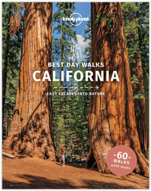
Wandelgids Best Day Walks California - Lonely Planet • 9781838691172
Best Day Walks California - Lonely Planet Productomschrijving: Lonely Planet's Best Day Walks Californië is uw paspoort met 60 gemakkelijke wandel ontsnappingen in de natuur. Strek je benen weg van de stad door een wandeling te kiezen die bij je past, van een paar uur tot een hele dag, van gemakkelijk tot zwaar. Verken Yosemite National Park, bewonder de sequoia's en wandel door Gold Count…
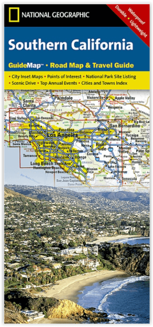
Landkaart Wegenkaart Southern California State Guide map- Nat Geo • 9781597750158
Wegenkaart California Southern State Guide map - Nat Geo Productomschrijving: National Geographic's Southern California Guide Map provides travelers with the perfect combination of detail and perspective in a highly functional travel tool. Both comprehensive map and mini-guidebook, this map provides information on many points of interest, the cities of Los Angeles and San Diego, and Sequoi…

Wandelgids The California Mission Trails - Cicerone • 9781786311139
The California Mission Trails - Cicerone Productomschrijving: Gids over het wandelen en fietsen van de 1289 km lange California Missions Trail tussen San Francisco Bay en San Diego. De pelgrimsroute voert langs 21 historische Spaanse missies en kan worden voltooid in 50-60 wandeldagen of 2-3 weken fietsen. Met 1:100.000 kaarten, routebeschrijving en details van accommodatie en faciliteiten…
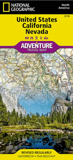
Landkaart Wegenkaart 3119 USA California & Nevada - Nat Geo • 9781566957137
Wegenkaart USA California & Nevada - Nat Geo Productomschrijving: There are few nations as vast and spectacularly diverse as the United States of America. From the Atlantic to the Pacific, "America the Beautiful" offers boundless destinations and experiences for travelers seeking outdoor adventures, small town delights, or the excitement of urban culture. The United States California …