

Wandelkaart 764 Chugach State Park- Anchorage - Natgeo
Omvat een dikke 2004 M² KM direct ten oosten van Anchorage

Korte omschrijving
Wandelkaarten Alaska, USA van National Geographic. Ideaal voor tochten in Verenigde Staten van Amerika (USA).
TOPO Wandelkaart 764 - Chugach State Park- Anchorage - Natgeo Productomschrijving: Chugach State Park omvat een dikke 2004 M² KM, direct ten oosten van Anchorage Bowl in south-central Alaska...

Specificaties
- Uitgever: National Geographic
- ISBN-13: 9781566956789
- HOOFDCATEGORIEËN: Wandelkaart
- Auteur: National Geographic
- Regio: Alaska, USA
- Land: Verenigde Staten van Amerika (USA)
- Regionale parken: Chugach State Park, Anchorage Alaska USA
- TOPO's & Stafkaarten: Topografisch wandelen
- Schaal: 1:75000
- Taal: Engels
Volledige omschrijving
TOPO Wandelkaart 764 - Chugach State Park- Anchorage - Natgeo
Productomschrijving: Chugach State Park omvat een dikke 2004 M² KM, direct ten oosten van Anchorage Bowl in south-central Alaska.
Engelse omschrijving: National Geographic's Trails Illustrated map of Chugach State Park and Anchorage combines unmatched detail with helpful information to offer an invaluable tool for making the most of your visit to this exciting region. Expertly researched and created in partnership with local land management agencies, this map features key points of interest including Eklutna Lake, Knik River, Penguin Creek, North Fork Eagle River, and the communities of Anchorage, Eagle River, and Alyeska. Portions of Tony Knowles Coast Trail, Iditarod National Historic Trail, and Glenn Highway and Seward Highway scenic byways are shown, as well.
Whether you're traveling by horse, skis, snowmobile or on foot, you'll find trails marked according to your desired use. Trail mileage between intersections and handy summaries of Anchorage parks and trails will help you choose the path that's right for you. There is also an elevation profile of Crow Pass Trail. Some of the many recreation features shown include campgrounds, public cabins, yurts, trailheads, interpretive trails, rifle ranges, and river access locations for paddling and fishing. Helpful information about recreation activities available in the region, regulations, and safety tips are included as well. The map base includes contour lines, shaded relief, elevations for summits, and depth soundings and other navigational aids for boating. Every Trails Illustrated map is printed on "Backcountry Tough" waterproof, tear-resistant paper. A full UTM grid is printed on the map to aid with GPS navigation.
Other features found on this map include: Chickaloon River, Chugach National Forest, Eklutna Lake, Inner Lake George, Knik River, Matanuska River, Turnagain Arm, Upper Lake George.
Locatie op kaart
Artikelen uit dezelfde regio

Wandelkaart 257 Gates of the Arctic NP- Alaska - Nat Geo • 9781566953764
TOPO Wandelkaart 257 - Gates of the Arctic NP - Alaska Productomschrijving: Het Gates of the Arctic National Park and Preserve is een nationaal park ten noorden van de noordpoolcirkel in de Amerikaanse staat Alaska. Het is het meest noordelijk gelegen en op een na grootste nationale park van de Verenigde Staten. Met een oppervlakte van 34.287 km² is het park iets kleiner dan Zwitserland. …
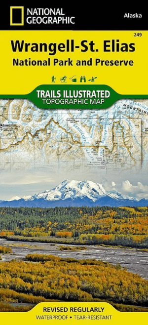
Wandelkaart 249 Wrangell St.Elias NP - Nat.Geo. • 9781566953825
Wrangell St.Elias NP - National Geographic Productomschrijving: Met 13,2 miljoen hectare, zou Wrangell-St. Elias binnen de grenzen passen van Yellowstone, Grand Canyon, Glacier, Olympic en Yosemite National Parks met zelf nog ruimte over. Het strekt zich uit van een van de hoogste toppen van Noord-Amerika > Mount Stain Elias, tot aan de oceaan. Meer dan een kwart van het park is bedekt met…

Wanderlkaart 222 Denali NP- Alaskan Range - Alaska - Natge • 9781566953283
TOPO Wanderlkaart 222 - Denali NP- Alaskan Range - Nat Geo Productomschrijving: Denali National Park and Preserve is een Amerikaans nationaal park, in het binnenland van Alaska. In centraal Denali, ligt de hoogste berg van noord Amerika. Compleet gezien is het park een dikke 24,464 km2 groot, die groter is dan West-Vlaanderen. Het Denali landschap is een mix van bos op zijn lager gelegen …
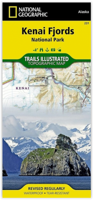
Wandelkaart 231 Kenai Fjords NP- Alaska - Nat Geo • 9781566953856
TOPO Wandelkaart 231 - Kenai Fjords NP- Alaska - Nat Geo Productomschrijving: Kenai Fjords National Park is een nationaal park in de Amerikaanse staat Alaska, gelegen op het Kenai-schiereiland. Grote delen van de Kenai Mountains worden beschermd in het park. In het park ligt het Harding Icefield, een van de grootste ijsvelden van de Verenigde Staten. Engelse omschrijving: National Geog…

Wandelkaart 763 Kachemak Bay State Park - Alaska - Nat Geo • 9781566950749
Wandelkaart Kachemak Bay State Park, Homer Alaska Omvat: Anchor Point, Chugach Islands, Fox River, Gore Point, Kachemak Bay, Kalgin Island, Kenai Fjords National Park, Kennedy Entrance, Nuka Bay, Nuka Island, Point Adam, Point Pogibshi, Port Dick, Tustumena Lake. Engelse omschrijving: Outdoor enthusiasts exploring the various public recreation lands in the southwestern part of the Kena…