

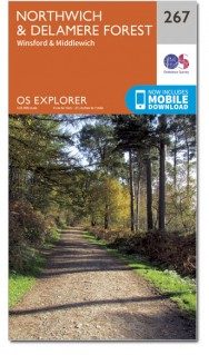
Wandelkaart 267 Northwich & Delamere Forest - OSI
Mersey Forest- Northwich- Winsford en Delamere Forest
Korte omschrijving
Wandelkaarten Cheshire, England van Ordnance Survey. Ideaal voor tochten in England.
Wandelkaart Northwich & Delamere Forest - Cheshire England Omvat ook: Winsford & Middlewich. Productbeschrijving: De Mersey Forest covers Northwich, Winsford en Delamere Forest. Met vele...

Specificaties
- Uitgever: Ordnance Survey
- ISBN-13: 9780319471395
- HOOFDCATEGORIEËN: Wandelkaart
- Activiteiten: Wandelen, Hiking & Trekking
- Regio: Cheshire, England
- Land: England
- Waterafstotende kaart: Ordnance Survey ACTIVE Explorer Weatherproof Maps
- Regionale parken: Delamere Forest
- TOPO's & Stafkaarten: Topografisch wandelen
- Schaal: 1:25000
- Taal: Engels
- Reeks/Serie: Explorer ACTIVE Series OSI
Volledige omschrijving
Wandelkaart Northwich & Delamere Forest - Cheshire England
Omvat ook: Winsford & Middlewich.
Productbeschrijving: De Mersey Forest covers Northwich, Winsford en Delamere Forest. Met vele routes om te wandelen, te fietsen en te paardrijden, er zijn ook vele evenementen gedurende het hele jaar. De OS Explorer kaart voor Northwich & Delamere Forest is beschikbaar in zowel de standaard papieren versie als de weerbestendige 'Actief' versie.
Productdiscription: The Mersey Forest covers Northwich, Winsford and Delamere Forest. With routes for walking, cycling and horse riding, there are also events throughout the year. The OS Explorer map for Northwich & Delamere Forest is available in both the standard paper version and weatherproof 'Active' version.
Locatie op kaart
Gekoppelde artikelen
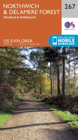
Wandelkaart 267 Northwich & Delamere Forest - OSI • 9780319244647
standaard versieWandelkaart Northwich & Delamere Forest - Cheshire England Omvat ook: Winsford & Middlewich Productomschrijving: De Mersey Forest omvat Northwich, Winsford en Delamere Forest. Met routes om te wandelen, fietsen en om te paardrijden, er zijn ook evenementen het hele jaar door. De OS Explorer kaart voor Northwich & Delamere Forest is beschikbaar in zowel de standaard papieren versie als …

Wandelkaart 267 Northwich & Delamere Forest - OSI • 9780319471395
weatherproof versieWandelkaart Northwich & Delamere Forest - Cheshire England Omvat ook: Winsford & Middlewich. Productbeschrijving: De Mersey Forest covers Northwich, Winsford en Delamere Forest. Met vele routes om te wandelen, te fietsen en te paardrijden, er zijn ook vele evenementen gedurende het hele jaar. De OS Explorer kaart voor Northwich & Delamere Forest is beschikbaar in zowel de standaard pap…
Artikelen uit dezelfde regio
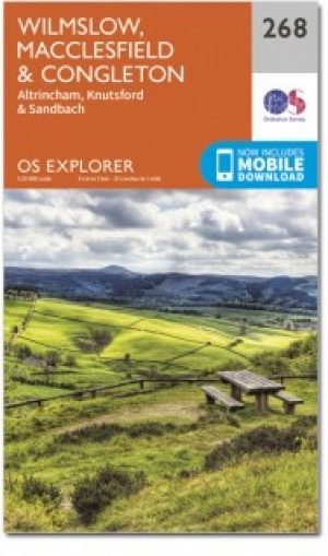
Wandelkaart 268 Wilmslow Macclesfield & Congleton - OSI • 9780319471401
Wandelkaart Wilmslow- Macclesfield & Congleton - East Cheshire Omvat ook: Altrincham, Knutsford & Sandbach. Productbeschrijving: Kaart nummer 268 in de OS Explorer-reeks omvat Wilmslow, Macclesfield & Congleton tussen Stoke-on-Trent en Manchester. Er zijn een heleboel recreatieve paden op dit gebied te vinden, met inbegrip van de Gritstone Trail, Dane Valley Way en de Trans Pennine Tra…
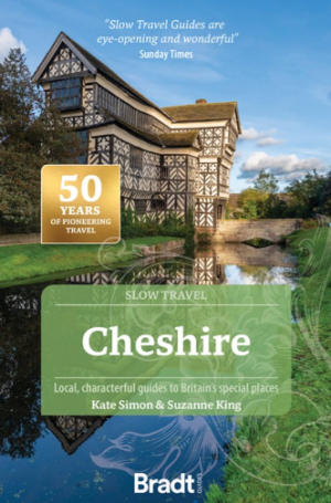
Reisgids Go Slow Cheshire England - Bradt travel guides • 9781804692684
Reisgids Cheshire England - Bradt Productomschrijving: Part of Bradt’s distinctive, award-winning series of ‘Slow’ travel guides to UK regions, the new, thoroughly updated second edition of Cheshire (Slow Travel) celebrates this charming, popular English county. Written with intimate detail and insider tips by two authors raised in Cheshire, it remains the only standalone guidebook to pro…
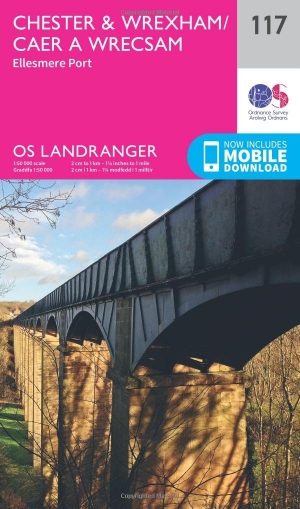
Wandelkaart 117 Chester & Wrexham - West Cheshire - OSI • 9780319262153
Wandelkaart Chester & Wrexham - West Cheshire England - OSI Productbeschrijving: Kaart nummer 117 in de OS Landranger kaarten reeks beslaat een gebied van Llangollen in het zuiden aan Ellesmere Port in het noorden met Chester, die ligt aan de rivier de Dee. De belangrijkste bezienswaardigheden van de stad zijn Chester Zoo en de renbaan. Een korte reis naar het noorden brengt u naar de grot…

Fietskaart 03 Peak District cycling map - Goldeneye • 9781859653043
Fietskaart Peak District cycling map - Goldeneye Productomschrijving: Het Peak District is een nationaal park van formaat pal in het centrum van Engeland. deze kaart biedt u een overzicht van alle fietsroutes in- en door het park. Het Peak District is dan ook goed gekend voor zijn heuvel, bergen, waterwegen, wandel- en fietsroutes. Egelse omschrijving: The Peak District offers some of …
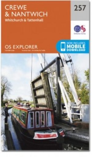
Wandelkaart 257 Crewe & Nantwich & Cheshire East - OSI • 9780319244531
Wandelkaart Crewe & Nantwich - Cheshire East England Productbeschrijving: Whitchurch & Tattenhall. 257 / Crewe & Nantwich, Cheshire East, England - Kaart nummer 257 in de OS Explorer reeks beslaat een gebied van Tattenhall in het noorden, Whitchurch in het zuiden, Crewe in het oosten, en de rand van Wales in het westen, plus de steden van Overton en Bangor op Dee. Hoogtepunten van…