

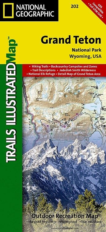
Wandelkaart 202 Grand Teton NP- Wyoming - Nat Geo
Een groot deel van de onderliggende vallei- de Jackson Hole
Korte omschrijving
Wandelkaarten Wyoming, USA van National Geographic. Ideaal voor tochten in Verenigde Staten van Amerika (USA).
TOPO Wandelkaart 202 - Grand Teton NP- Wyoming - National Geographic Productomschrijving: Grand Teton National Park is een nationaal park in Wyoming in de Verenigde Staten, ten zuiden van Y...

Specificaties
- Uitgever: National Geographic
- ISBN-13: 9781566954372
- HOOFDCATEGORIEËN: Wandelkaart
- Activiteiten: Wandelen, Hiking & Trekking
- Auteur: National Geographic
- Regio: Wyoming, USA
- Land: Verenigde Staten van Amerika (USA)
- Nationale parken: Grand Teton NP, Wyoming USA
- TOPO's & Stafkaarten: Topografisch wandelen
- Schaal: 1:80000
- Taal: Engels
Volledige omschrijving
TOPO Wandelkaart 202 - Grand Teton NP- Wyoming - National Geographic
Productomschrijving: Grand Teton National Park is een nationaal park in Wyoming in de Verenigde Staten, ten zuiden van Yellowstone. Het park is genoemd naar de Grand Teton, een van de bergen van het Tetongebergte met 4197 meter hoog en de hoogste berg van het park. Het park omvat een groot deel van de onderliggende vallei, de Jackson Hole.
Engelse omschrijving: Expertly researched and created in partnership with local land management agencies, National Geographic's Trails Illustrated map of Grand Teton National Park provides an unparalleled tool for exploring this magnificent region. This map offers unmatched detail of the entire park and features key areas of interest including Jackson Hole, Jackson Lake, Colter Bay Village, Jenny Lake, Phelps Lake, Teton Crest Trail, Bridger-Teton National Forest, Caribou-Targhee National Forest, Gros Ventre Wilderness, Jedediah Smith Wilderness, and John D. Rockefeller Jr. Memorial Parkway.
With almost 250 miles of mapped trails in some of the most breathtaking scenery in the entire country, the Grand Teton National Park map can guide you off the beaten path and back again. The trails are clearly marked to help with navigation for backcountry explorers. Suggested backpacking trips, weather and safety tips, and information about other recreation activities are included to help guide you in enjoying all the park has to offer. The map base includes contour lines and elevations for summits, passes and major lakes. The bathymetry of Jackson Lake is shown with both contours and hill shading. Some of the many recreation features include: campgrounds, trailheads, parking lots, scenic overlooks, interpretive trails, and backcountry camping zones. Every Trails Illustrated map is printed on "Backcountry Tough" waterproof, tear-resistant paper. A full UTM grid is printed on the map to aid with GPS navigation.
Other features found on this map include: Grand Teton, Grand Teton National Park, Gros Ventre River, Gros Ventre Wilderness, Jackson Hole, Jedediah Smith Wilderness, Jenny Lake, John D. Rockefeller, Jr. Memorial Parkway, Mount Moran, Rendezvous Mountain, Targhee National Forest, Teton National Forest, Teton Pass, Teton Range, Teton Wilderness.
Locatie op kaart
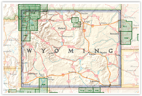
Overzichtskaarten
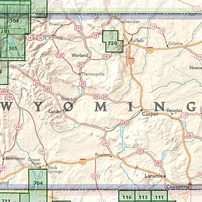
NAT GEO Wyoming trail map
NAT GEO Wyoming trail map

Producten op de overzichtskaart
Klik op een product om naar de detailpagina te gaan.
- Wandelkaart 201 Yellowstone NP- Wyoming - Nat Geo
- Wandelkaart 202 Grand Teton NP- Wyoming - Nat Geo
- Wandelkaart 302 Yellowstone NP & Old Faithful - Nat Geo
- Wandelkaart 303 Mammoth Hot Springs- Yellowstone - Nat Geo
- Wandelkaart 304 Tower & Canyon Yellowstone NP - Nat Geo
- Wandelkaart 305 Yellowstone Lake - Yellowstone NP - Nat Geo
- Wandelkaart 704 Flaming Gorge- Recreational Area - Utah
Artikelen uit dezelfde regio
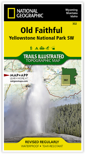

Wandelkaart 302 Yellowstone NP & Old Faithful - Nat Geo • 9781566954334
Yellowstone National Park & Old Faithful - Nat Geo Omvat: Craig Pass, Gallatin National Forest, Grand Teton National Park, Heart Lake, Jedediah Smith Wilderness, John D. Rockefeller, Jr. Memorial Parkway, Lewis Lake, Mount Sheridan, Pitchstone Plateau, Red Mountains, Shoshone Lake, Targhee National Forest, Teton National Forest, Teton Wilderness, Yellowstone National Park. Engelse omsc…

Wandelkaart 201 Yellowstone NP- Wyoming - Nat Geo • 9781566952958
TOPO Wandelkaart 201 - Yellowstone NP- Wyoming - Nat geo Productomschrijving: Yellowstone National Park, wat een prachtig concept voor een nationaal park, een par van formaat, en een nationaal park in de Verenigde Staten, hoofdzakelijk in Wyoming, maar met kleine gedeeltes in de aangrenzende staten Montana en Idaho. Engelse omschrijving: National Geographic's Trails Illustrated map of …
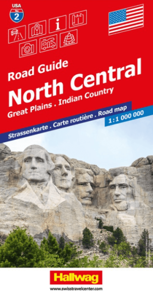
Landkaart Wegenkaart Road Map 2 USA Noord Centraal - Hallwag • 9783828310902
Wegenkaart USA Noord Centraal - Hallwag Productomschrijving: Op zoek naar betrouwbare Hallwag wegenkaarten van het Noord Amerikaanse Continent? Deze klassieke road maps staan bekend om hun duidelijke cartografie, praktische indeling en heldere weergave van wegen en verbindingen. Voor autoritten, vakanties, camperreizen en lange roadtrips bieden Hallwag wegenkaarten het overzicht dat je ond…

Reisgids Yellowstone & Grand Teton National Parks - Lonely Planet • 9781838699819
Reisgids Yellowstone & Grand Teton - Lonely Planet Productomschrijving: Lonely Planet Yellowstone & Grand Teton National Parks is je paspoort voor het meest relevante, actuele advies over wat je moet zien en overslaan, en welke verborgen ontdekkingen er op je wachten. Spot wolven en grizzly's in Lamar Valley, zie geisers uitbarsten in Old Faithful en Upper Geyser Basin, of ga het water op …

Wandelkaart 303 Mammoth Hot Springs- Yellowstone - Nat Geo • 9781566954341
TOPO Wandelkaart 303 - Mammoth Hot Springs - Yellowstone Productomschrijving: Mammoth Hot Springs is een groot hot springs complex op een travertijn heuvel in Yellowstone National Park behorend tot Fort Yellowstone en de Mammoth Hot Springs Historic District. Engelse omschrijving: National Geographic's Trails Illustrated map of the Mammoth Hot Springs area of Yellowstone National Park …