

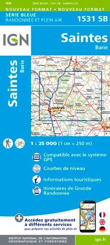
Wandelkaart 1531 SB Saintes & Burie - IGN
Saintes is een gemeente in het departement Charente-Maritime

Korte omschrijving
Wandelkaarten Nouvelle-Aquitaine, Frankrijk van Institut Géographique National. Ideaal voor tochten in Frankrijk.
Wandelkaart 1531 SB - Saintes & Burie - Nieuwe versie Productomschrijving: Saintes is een gemeente in het departement Charente-Maritime in de regio Nouvelle-Aquitaine. De plaats is meer dan ...

Specificaties
- Uitgever: Institut Géographique National
- ISBN-13: 9782758541226
- HOOFDCATEGORIEËN: Wandelkaart
- Activiteiten: Wandelen, Hiking & Trekking
- Regio: Nouvelle-Aquitaine, Frankrijk
- Land: Frankrijk
- Departement: Charente-Maritime (17)
- Schaal: 1:25000
- Editie: 1
- Taal: Frans
- Reeks/Serie: IGN France > TOP25 Randoo / Série Bleue
Volledige omschrijving
Wandelkaart 1531 SB - Saintes & Burie - Nieuwe versie
Productomschrijving: Saintes is een gemeente in het departement Charente-Maritime in de regio Nouvelle-Aquitaine. De plaats is meer dan tweeduizend jaar geleden gesticht door de Romeinen aan de rivier de Charente.
Desciptive produits: Une nouvelle cartographie pour une lisibilité optimale, avec une meilleure précision géométrique et des informations touristiques enrichies. Un nouveau format deux fois plus grand : le format des nouvelles SERIE BLEUE est équivalent à celui des TOP 25 et le nombre de références sera ainsi divisé par 2. Pour la plupart des cartes, la zone couverte correspond à l’assemblage des anciennes SERIE BLEUE Est et Ouest.
Locatie op kaart
Overzichtskaarten

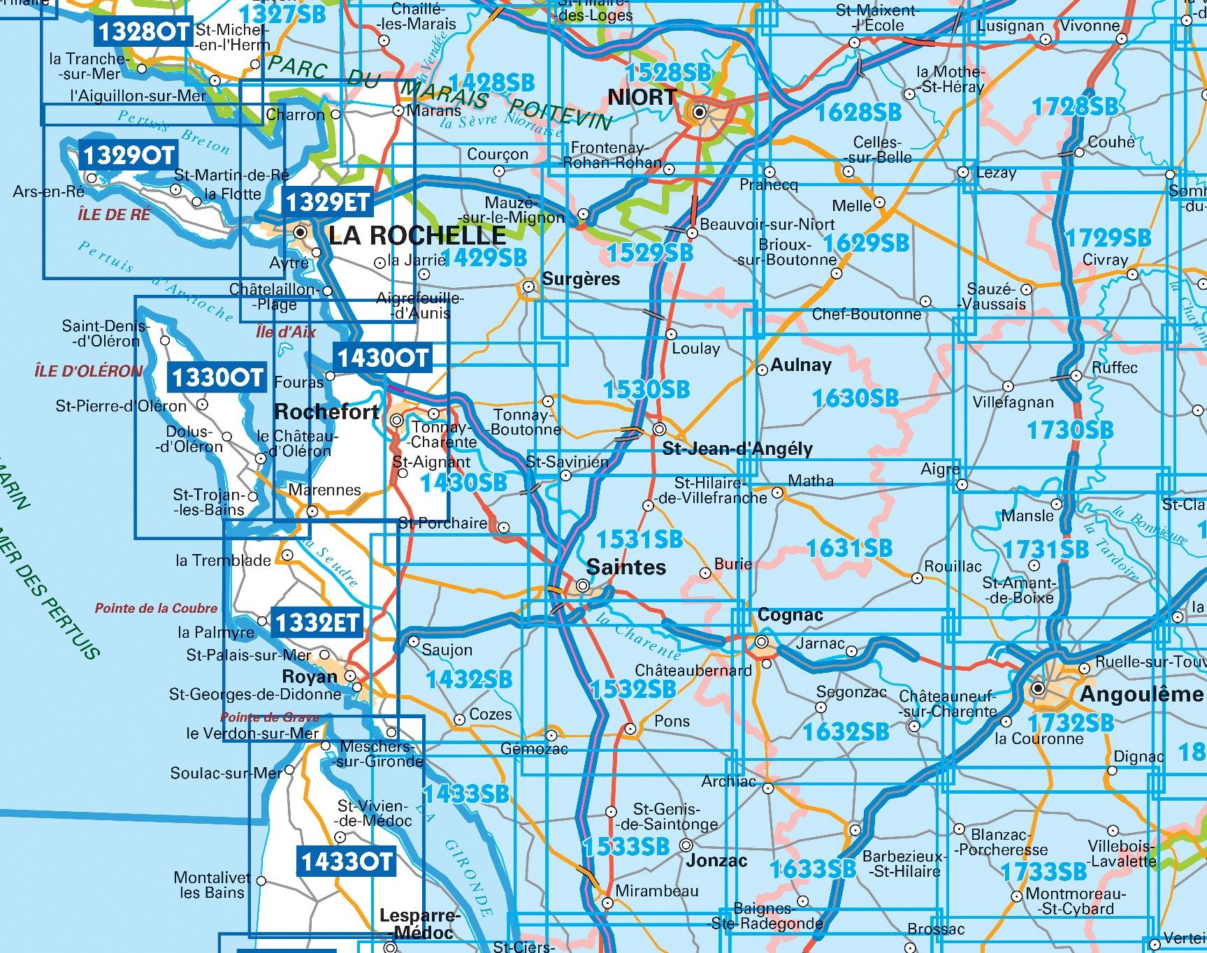
IGN TOP25 Wandelkaarten Nouvele Aquitaine
IGN TOP25 Wandelkaarten Nouvele Aquitaine

Producten op de overzichtskaart
Klik op een product om naar de detailpagina te gaan.
- Wandelkaart 1328 OT La Tranche-s-Mer & l'Aiguillon-s-Mer - IGN
- Wandelkaart 1329 OT MINI Ile de Ré - IGN
- Wandelkaart 1329 ET La Rochelle & Anse de l'Aiguillon - IGN
- Wandelkaart 1329 OT Ile de Ré - IGN
- Wandelkaart 1330 OT Ile d'Oléron & Ile d'Aix - IGN
- Wandelkaart 1330 OT MINI Ile d'Oléron & Ile d'Aix - IGN
- Wandelkaart 1429 SB Surgères & Aigrefeuille-d'Aunis - IGN
- Wandelkaart 1430 OT Rochefort & Marennes - IGN
- Wandelkaart 1432 SB Saujon & Cozes - IGN
- Wandelkaart 1529 SB Frontenay-Rohan & Mauzé - IGN
- Wandelkaart 1530 SB St-Jean-d'Angély & Tonnay-Boutonne - IGN
- Wandelkaart 1531 SB Saintes & Burie - IGN
- Wandelkaart 1532 SB Pons & Pérignac - IGN
- Wandelkaart 1628 SB Saint-Maixent-l'Ecole & Lezay - IGN
- Wandelkaart 1729 SB Civray & Sauzé-Vaussais - IGN
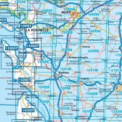
IGN TOP25 Wandelkaarten - Atlantische kust Poitou-Charentes NOORD
IGN TOP25 Wandelkaarten - Atlantische kust Poitou-Charentes NOORD
Producten op de overzichtskaart
Klik op een product om naar de detailpagina te gaan.
- Wandelkaart 1329 ET La Rochelle & Anse de l'Aiguillon - IGN
- Wandelkaart 1330 OT Ile d'Oléron & Ile d'Aix - IGN
- Wandelkaart 1332 ET Royan & Forêt de la Coubre - IGN
- Wandelkaart 1429 SB Surgères & Aigrefeuille-d'Aunis - IGN
- Wandelkaart 1433 OT Soulac-sur-Mer & Vendays-Montalivet
- Wandelkaart 1433 SB Lesparre-Medoc & Mortagne-sur-Gironde
- Wandelkaart 1528 SB Niort- Benet & Coulon - IGN
- Wandelkaart 1529 SB Frontenay-Rohan & Mauzé - IGN
- Wandelkaart 1530 SB St-Jean-d'Angély & Tonnay-Boutonne - IGN
- Wandelkaart 1531 SB Saintes & Burie - IGN
- Wandelkaart 1532 SB Pons & Pérignac - IGN
- Wandelkaart 1533 SB Jonzac & Mirambeau - IGN
- Wandelkaart 1629 SB Melle France - IGN
- Wandelkaart 1630 SB Aulnay - IGN
- Wandelkaart 1631 SB Matha - IGN
- Wandelkaart 1632 SB Cognac & Jarnac - IGN
- Wandelkaart 1633 SB Barbezieux-St-Hilaire - IGN
- Wandelkaart 1730 SB Ruffec & Villefagnan - IGN
- Wandelkaart 1731 SB Mansle & Aigre - IGN
- Wandelkaart 1732 SB Angoulême & Ruelle-sur-Touvre - IGN
Artikelen uit dezelfde regio
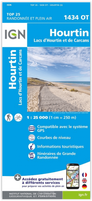
Wandelkaart 1434 OT Hourtin & Lacs d'Hourtin et de Carcans - IGN • 9782758551423
Wandelkaart 1434 OT- Hourtin & Lacs d'Hourtin et de Carcans Productomschrijving: Hourtin is een gemeente in het Franse departement Gironde in de regio Nouvelle-Aquitaine. De plaats maakt deel uit van het arrondissement Lesparre-Médoc. De omgeving is eveneens de plaats van het meer van Hourtin en Carcans. Elk jaar opnieuw een gezellige vakantie plaats De TOP 25-serie is de cartografisc…

Landkaart Wegenkaart R10 Nouvelle-Aquitaine NORD - IGN • 9782758556862
Wegenkaart Nouvelle-Aquitaine - IGN Productomschrijving: De gloednieuwe reeks wegenkaarten van alle Franse Regio's, of zo genaamd de Grandes régions Administratives. De kaarten zijn in de meeste Europese talen: Nederlands, Engels, Duits, Frans, Italiaans & Spaans. Ze behoren toe aan de volledioge nieuwe lichting van IGN kaarten. Omvat: Charente - Charente-Maritime - Le Corrèze - …
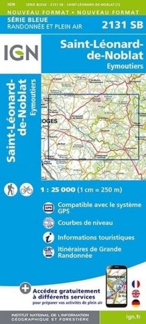
Wandelkaart 2131 SB St-Léonard-de-Noblat & Eymoutiers - IGN • 9782758544975
Wandelkaart 2131 SB - St-Léonard-de-Noblat & Eymoutiers Productomschrijving: St-Léonard-de-Noblat & Eymoutiers zijn beiden gemeentes gelegen in het Franse departement Haute-Vienne in de regio Nouvelle-Aquitaine. De plaatsen maken deel uit van het arrondissement Limoges. Beiden zijn ze gelegen tussen 2 natuurparken in, enerzijds het PNR Milevaches en limousin en anderzijds, het park PNR Pér…

Klimgids Pyrénées occidentales - 100 plus belles voies - Rando • 9782344063583
Klimgids Pyrénées occidentales - Rando Productomschrijving: In Frankrijk en Spanje, van de Aspe- tot de Esera-vallei, via Riglos, het Néouvielle-massief en Bigorre: geweldige klim- en alpinistische routes op alle soorten rotsen. Franse omschrijving: En France ou en Espagne, de la vallée d'Aspe à celle de l'Esera en passant par Riglos, le massif de Néouvielle et la Bigorre: des g…
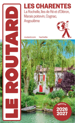
Guide Charentes France 2026-27 - Le Routard • 9782017374602
Guide Charentes France 26-27 - Le Routard Franse Productomschrijving: Embarquer à bord d'une gabare et se laisser dériver le long de la Charente. S'offrir une balade découverte du vignoble de Cognac en 2 CV ou en jeep. Quadriller Angoulême pour dénicher les fresques des célèbres dessinateurs de B.D. Faire le tour de l'île d'Aix à vélo et explorer chaque parcelle de plages souvent désertes…