
Wandelgids Walking in Worcestershire - Cicerone Press
Malvern, Upton, Worcester, Bewdley, Pershore and Evesham

Korte omschrijving
Wandelgidsen Worcestershire, West England van CICERONE Press. Ideaal voor tochten in Engeland.
Walking in Worcestershire - Cicerone Productomschrijving: Worcestershire is a county of gentle rolling countryside, winding rivers and distinctive hill ranges that rise above fertile lowlan...


Specificaties
- Uitgever: CICERONE Press
- ISBN-13: 9781786312440
- HOOFDCATEGORIEËN: Wandelgids
- Activiteiten: Wandelen, Hiking & Trekking
- Auteur: Julia Goodfellow-Smith, Mike Goodfellow-Smith
- Regio: Worcestershire, West England
- Land: Engeland
- Editie: 1
- Taal: Engels
- De Engelse Graafschappen: Worcestershire
Volledige omschrijving
Walking in Worcestershire - Cicerone
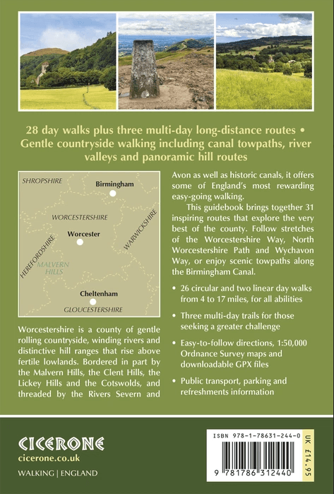
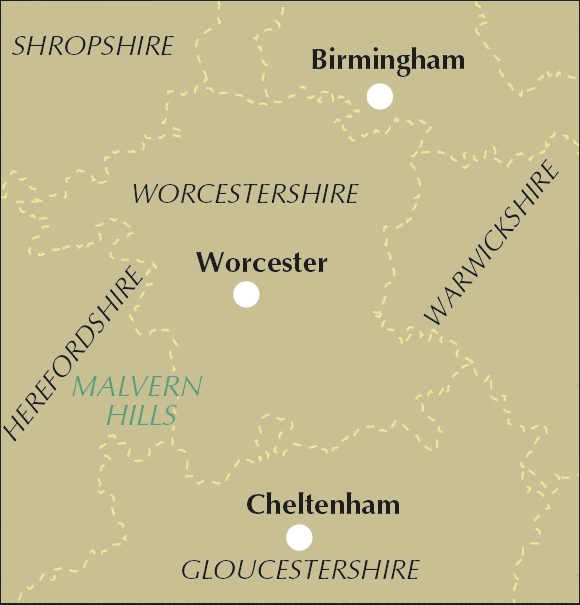
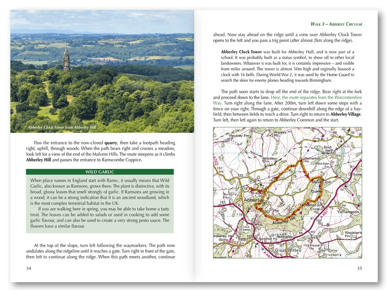
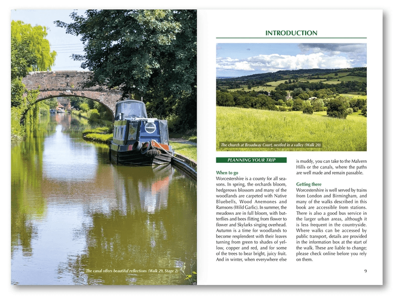
Productomschrijving: Worcestershire is a county of gentle rolling countryside, winding rivers and distinctive hill ranges that rise above fertile lowlands. Bordered in part by the Malvern Hills, the Clent Hills, the Lickey Hills and the Cotswolds, and threaded by the Rivers Severn and Avon as well as historic canals, it offers some of England’s most rewarding easy-going walking. From orchard country and hop fields to cathedral cities and quiet market towns, Worcestershire blends natural beauty with layers of history.
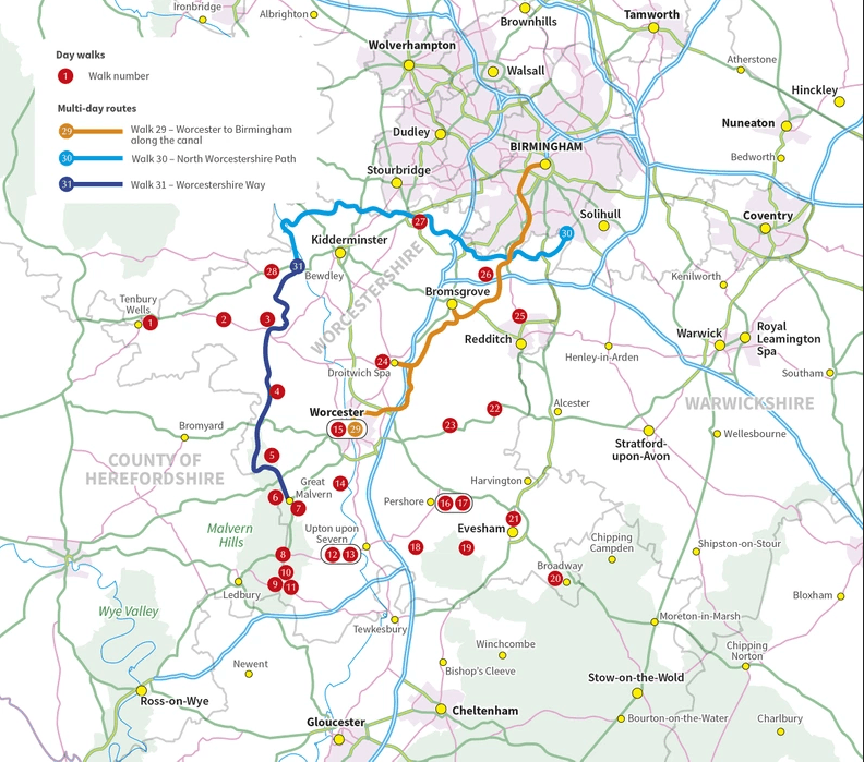
Walking in Worcestershire brings together 31 carefully chosen routes that explore the very best of the county. The guide includes 28 day walks from 4 to 17 miles, suitable for a wide range of abilities, plus three multi-day long-distance trails for those seeking a greater challenge. Walkers can follow stretches of the Worcestershire Way, explore sections of the North Worcestershire Path and Wychavon Way, or enjoy scenic towpaths along the Birmingham Canal. With bases such as Malvern, Upton, Worcester, Bewdley, Pershore and Evesham, Walking in Worcestershire makes it easy to plan rewarding outings with excellent accommodation and transport links close at hand.
Designed for all seasons, Walking in Worcestershire showcases landscapes that change beautifully throughout the year. Spring orchards burst into blossom and woodlands are carpeted with bluebells; summer meadows hum with wildlife; autumn paints the hills in copper and gold; and winter offers crisp, clear views from the Malverns and firm footing along canal towpaths when lower fields may be muddy. Alongside natural beauty, the routes in Walking in Worcestershire pass through historic towns such as Worcester and Evesham, notable for battles that shaped the nation, and visit abbeys, priories and churches that reflect the county’s rich heritage.
Most of the 28 day walks in Walking in Worcestershire are circular, making them straightforward to organise, while several linear options are included with convenient transport links. The three longer routes range from 49 to 60 miles and can be completed in up to four days each. These include:
- A four-day canal journey from Worcester to central Birmingham, with suggested overnight stops in Droitwich, Bromsgrove and Alvechurch
- The two-day North Worcestershire Path from Major’s Green to Bewdley
- The two-day Worcestershire Way from Bewdley to Great Malvern
- Each stage of these longer walks in Walking in Worcestershire can also be tackled as an individual day walk, with accommodation suggestions
This guidebook includes:
- 28 varied day walks featured in Walking in Worcestershire, ranging from 4 to 17 miles and designed to suit beginners.
- Three multi-day challenge hikes in Walking in Worcestershire (49–60 miles), complete with accommodation guidance.
- Clear, step-by-step route descriptions throughout Walking in Worcestershire, supported by 1:50,000 OS maps, ascent and descent figures.
- Comprehensive coverage of Worcestershire’s key walking areas, including the Malvern Hills, Clent Hills, Lickey Hills, the Cotswolds and the Severn.
- Public transport information for each walk in Walking in Worcestershire.
- Downloadable GPX files for all routes in Walking in Worcestershire.
Whether you’re looking for gentle riverside strolls, panoramic ridge walks, wildlife-rich meadows or rewarding multi-day challenges, Walking in Worcestershire offers everything you need to explore the beauty, culture and character of this distinctive English county – in any season.
Walking in Worcestershire – Quick Facts:
Guide name: Walking in Worcestershire – 31 Walks including the Worcestershire Way and Malvern Hills
Location: Worcestershire, England, covering the Malvern Hills, Severn and Avon valleys, Clent and Lickey Hills, and the northern Cotswolds.
Routes covered: 28 circular and linear day walks plus 3 multi-day long-distance routes.
Distance range: Day walks range from 4–17 miles (6–27 km), while the multi-day routes cover 49–60 miles (79–97 km).
Typical duration: Day walks take between 2 and 8 hours; the longer routes can be completed in 2–4 days.
Walk type: Gentle countryside walking including canal towpaths, river valleys and panoramic hill routes, with sections of the Worcestershire Way.
Navigation: Step-by-step route descriptions supported by 1:50,000 OS mapping and downloadable GPX files.
Difficulty: Easy to moderate, suitable for a wide range of walking abilities.
Best season: Suitable for year-round walking, with hills and towpaths remaining accessible in winter.
Accommodation: A wide choice of accommodation in Malvern, Worcester, Upton, Bewdley, Pershore and Evesham, with guidance included.
Artikelen uit dezelfde regio

Wandelgids Cotswolds - Heart of the Cotswolds - Rucksack Readers • 9781913817268
Wandelgids Cotswolds - Heart of the Cotswolds - Rucksack Productomschrijving: The Cotswolds AONB is quintessentially English, with its rich cultural history, medieval ‘wool’ churches and charming domestic architecture of stone, slate and thatch. The book offers three options for walking in the heart of this wonderful area: a 94-mile (151-km) grand tour starting from Cheltenham, and two sh…

Wandelkaart 218 Kidderminster & Wyre Forest - OSI • 9780319244111
Wandelkaart Kidderminster & Wyre Forest - Worcestershire Productbeschrijving: Kidderminster is een stad in het bestuurlijke gebied Wyre Forest, in het Engelse graafschap Worcestershire. 218 / Kidderminster / Wyre Forest, Worcestershire, England - Kaart nummer 218 is een all purpose kaart vol gepakt met informatie om u het gebied te helpen leren kennen. De 204 Landranger-kaarten bestrij…
Reisgids Cotswolds England - Rough Guides • 9780241308752
Reisgids Cotswolds England - Rough Guides Productomschrijving: The Rough Guide to the Cotswolds AONB is your definitive handbook to one of the most beautiful and diverse holiday destinations in the UK. From stately homes and wildlife parks to modern art galleries, country walks and adventure sports, there is a section that introduces all of the regions’ highlights. For every town and v…

Wandelkaart 190 - Malvern Hills AONB & Bredon Hill - OSI • 9780319470626
Wandelkaart Malvern Hills AONB & Bredon Hill AONB England Omvat ook: Tewkesbury, Ledbury, Pershore & Upton upon Severn. Productbeschrijving: Kaart nummer 190 in de OS Explorer kaarten reeks heeft betrekking op twee gebieden van uitzonderlijke natuurlijke schoonheid; de Cotswolds AONB en het bestuurlijke gebied Malvern Hills AONB en de nederzettingen van de Great Malvern, Upton op Sever…

Reisgids Cotswolds Top 10 - William Fricker - Goldeneye • 9781859653081
Reisgids Cotswolds - Goldeneye Productomschrijving: Ervaren Cotswold-reisschrijver William Fricker en zijn team van Goldeneye geven hun mening over de mooiste dorpen om te bezoeken. Een breed scala aan activiteiten om aan deel te nemen, van het bezoeken van landhuizen en tuinen, de prachtige kerken en de dromerige rivierdalen. Een breed scala aan overnachtingsmogelijkheden, van landelijke …