

Wandelgids The Lake District - High Level & Fell Walks - Cicerone
Scafell Pike- Scafell- Helvellyn- Skiddaw- Fairfield horseshoe


Korte omschrijving
Wandelgidsen Cumbria & Lake District, England van CICERONE Press. Ideaal voor tochten in England.
The Lake District - High Level & Fell Walks - Cicerone Productomschrijving: Deze gids omvat 30 wandelingen over de bergkammen en hoge toppen van het Engelse Lake District, het populairste na...

Specificaties
- Uitgever: CICERONE Press
- ISBN-13: 9781786312266
- HOOFDCATEGORIEËN: Wandelgids
- Activiteiten: Wandelen, Hiking & Trekking
- Auteur: Vivienne Crow
- Regio: Cumbria & Lake District, England
- Land: England
- Nationale parken: Lake District NP, Cumbria England
- Editie: 2
- Taal: Engels
- De Nationale Parken: Lake district National Park, England
- Iconische Wandelroutes: Lake district, Cumbria England
Volledige omschrijving
The Lake District - High Level & Fell Walks - Cicerone
Productomschrijving: Deze gids omvat 30 wandelingen over de bergkammen en hoge toppen van het Engelse Lake District, het populairste nationale park van het Verenigd Koninkrijk. Deze gids, die enkele van de mooiste en hoogste berglandschappen van Engeland bereikt, leidt lezers naar klassieke hoefijzers en traditionele beklimmingen, maar ook naar minder bekende routes naar rustigere toppen.
Engelse omschrijving: This guidebook describes 30 graded fell walks on the ridges and high peaks of the English Lake District, the UK's most popular national park. Reaching some of England's finest and highest mountain scenery, this guide leads readers to classic horseshoes and traditional ascents as well as lesser-known routes to quieter summits.
Seasons:
All year - each season holds its own delights - but walkers need to be prepared, and suitably equipped, for the potential for snow on the fells any time between November and April.
Centres:
Keswick, Braithwaite, Glenridding, Patterdale, Buttermere, Borrowdale, Ennerdale, Wasdale Head, Boot, Honister Pass, Coniston, Great Langdale, Grasmere, Ambleside, Kentmere.
Difficulty:
Fell walks covering both rocky terrain and grassy hills with occasional stretches of boggy ground. Most of the walks are relatively easy to follow in clear conditions, but may require good navigational skills in mist. Routes from 7-23km, graded 1-5. Some easy scrambling. Many routes require ice and crampons in snow.
Must See:
Climb England's highest peaks, including Scafell Pike, Sca Fell, Helvellyn and Skiddaw; stride out on classic horseshoe routes such as the Newlands Round and the Fairfield Horseshoe; enjoy quieter routes on to popular fells such as Blencathra and Red Screes; and visit some lesser known summits, including Gray Crag and Beda Fell.

Artikelen uit dezelfde regio
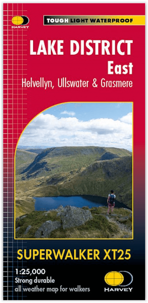
Wandelkaart XT25 Lake District Oost - Harvey Maps • 9781851376438
Wandelkaart Lake District East - Harvey Maps Productomschrijving: Inclusief Helvellyn en High Street en bergen ten oosten van de Kendal-Keswick weg. De Kirkstone Pass, Ullswater, Haweswater en Kentmere staan op dit blad. Gedetailleerde kaart voor bergwandelaars van de oostelijke bergen van het Lake District National Park. - Inclusief 82 bergtoppen beschreven door A.Wainwright. …
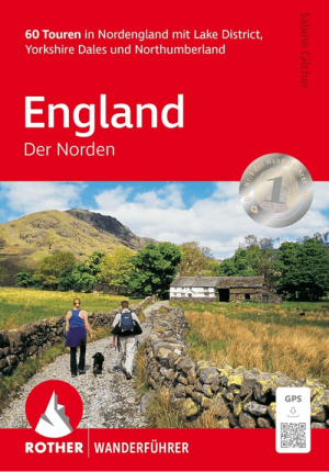
Wandelgids Nord England Lake District & Yorkshire Dales - Rother • 9783763314522
Nord England Lake District & Yorkshire Dales - Rother Productomschrijving: Der Norden von England ist hierzulande als Ziel für einen Wanderurlaub nicht allzu bekannt, dies aber völlig zu Unrecht. Nicht umsonst gehören Lake District und Yorkshire Dales zu den bekanntesten Wanderregionen Großbritanniens und können selbst anspruchsvolle Wanderer begeistern. Doch auch hinter weniger bekannten…
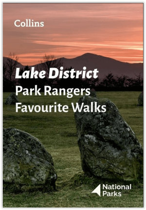
Wandelgids Park Rangers Favourite Walks Lake District - Collins • 9780008439149
Wandelgids Lake District - Collins Productomschrijving: Wandelgids over het Lake District National Park, met 20 beste routes uitgekozen door de parkwachters. Elke wandeling varieert in lengte van 2 tot 10 km en kan in minder dan 4 uur worden afgelegd. Engelse omschrijving: Walking guide to the Lake District National Park, with 20 best routes chosen by the park rangers. Each walk varies…

Wandelgids Mountain Walks Scafell Pike - Vertebrate Publ. • 9781839812569
Wandelgids Mountain Walks Scafell Pike - Vertebrate Productomschrijving: 15 routes to enjoy on and around the Sca Fell range Mountain Walks Scafell Pike by Graham Uney is a guide to walking routes to the summit of Scafell Pike – England’s highest mountain – in the Lake District. Alongside the summit routes, there are also lower-level alternatives for mixed weather or shorter days and…
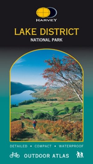
Wandelkaart & fietskaart Lake District NP - Harvey maps • 9781851374908
Wandelkaart - en fietskaart Lake District NP - Harvey maps Productomschrijving: Er zijn teveel woorden om dit uiterst schitterende park te beschrijven, u moet echt ter plaatse zijn om dit te ontdekken. Nieuwe generatie HARVEY Superwalker, XT25 waterproof, werden ontworpen om de meest praktische tools te zijn voor GPS-navigatie. Het formaat geeft meer toewijzingen op het blad zonder de …