

Wandelgids The Great Glen Way Map Booklet - Cicerone Press
Inverness- Drumnadrochit- Invermoriston- Fort Augustus...

Korte omschrijving
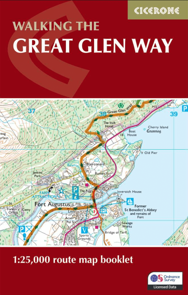
Wandelgidsen Highlands, Schotland van CICERONE Press. Ideaal voor tochten in Schotland.
Wandelgids Map Booklet Great Glen Way - Cicerone Productomschrijving: A booklet of all the mapping needed to complete the Great Glen Way, one of Scotland’s Great Trails. The 125km (74 mile) ...


Specificaties
- Uitgever: CICERONE Press
- ISBN-13: 9781786311429
- HOOFDCATEGORIEËN: Wandelgids
- Activiteiten: Wandelen, Hiking & Trekking
- Auteur: Paddy Dylan
- Regio: Highlands, Schotland
- Land: Schotland
- Schaal: 1:25000
- Editie: 2
- Taal: Engels
- Reeks/Serie: Map Booklet, Cicerone
- Iconische Bergketens van Europa: De Schotse Highlands
- Iconische Wandelroutes: The Graet Glenn Way, Irerland
- Scotlands Great Trails: Great Glen Way
Volledige omschrijving
Wandelgids Map Booklet Great Glen Way - Cicerone
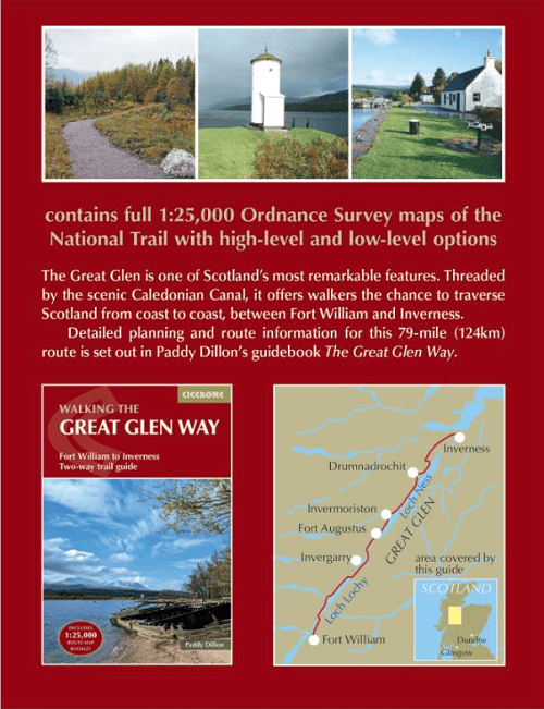
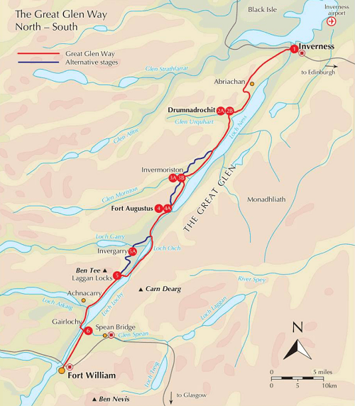
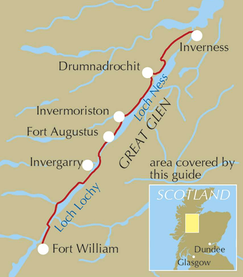
Productomschrijving: A booklet of all the mapping needed to complete the Great Glen Way, one of Scotland’s Great Trails. The 125km (74 mile) route between Fort William and Inverness is suitable for those new to long-distance walking and can be completed within a week.
- The full route line is shown on 1:25,000 OS maps.
- The map booklet can be used to walk the trail in either direction.
- Sized to easily fit in a jacket pocket.
- The relevant extract from the OS Explorer map legend is included.
- Includes low and high-level options for two stages and an alternative route via Invergarry.
- An accompanying Cicerone guidebook – The Great Glen Way is also available, which includes a copy of this map booklet.
Seasons:
Low-lying, so it is possible to walk the Great Glen Way at most times of year. Accommodation is often busy in summer, and midges are out! Daylight is short in winter with fewer accommodation options.
Centres:
Inverness, Drumnadrochit, Invermoriston, Fort Augustus, North Laggan, Gairlochy, Fort William.
Difficulty:
The Great Glen Way is 5-6 day low-level waymarked National Trail, with a range of facilities along the way. An ideal introduction to long-distance walking.
Must See:
Views of the highlands, fascinating clan history, Caledonian canal, wildlife (including, possibly, the Loch Ness monster).
Artikelen uit dezelfde regio

Wandelkaart 445 Foinaven- Arkle & Kylesku- Schotland - OSI • 9780319246887
Wandelkaart Foinaven- Arkle & Kylesku - Highlands Schotland Productbeschrijving: 445 / Foinaven, Arkle & Kylesku, Highlands, Schotland - OS Explorer kaart 445 toont in het uiterste noord-westen, Foinaven, Arkle, Kylesku & Scourie. Het omvat ook de nationale landschappelijke gebieden van North-West Sutherland Assynt-Coigach, Loch, Loch Laxford maken en The Minch. De OS Explorer kaart vo…

Wandelkaart 449 Strath Halladale & Strathy Point - OSI • 9780319473016
Wandelkaart Strath Halladale & Strathy Point - Schotland Omvat ook: Melvich & Forsinard. Productbeschrijving: Aan de Noord kust van Schotland, volgt OS Explorer kaart 449 de Strath Halladale en de Halladale-rivier, en omvat Strathy Point, Melvich en Forsinard. Er zijn talrijke kleine lochs aanwezig, evenals de pieken van Beinn Ratha (242 m) en Channian Hil (302 m). De OS Explorer kaart…
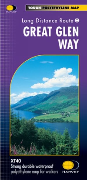
Wandelkaart Great Glen Way - Schotland - Harvey maps • 9781851374632
Wandelkaart Great Glen Way - Schotland - Harvey maps Productomschrijving: Toont de gehele route op één vel. 117km (73 mijl) van Fort William tot Inverness via Fort Augustus langs het Caledonisch Kanaal en de noordelijke oever van Loch Ness. Informatie over het vinden van accommodatie, camping, voedsel. Routebeschrijving naar het start van de route. Nieuwe generatie HARVEY Superwalker,…

Wandelkaart 25 Glen Carron & Glen Affric - OSI • 9780319261231
Wandelkaart Glen Carron & Glen Affric - Highland's Schotland Productbeschrijving: Glen Carron en Glen Affric bevinden zich in de Schotse Hooglanden, beladen met enorme blauwe lochs, ruig terrein en uiteenlopende vogelsoorten. OS Landranger kaart 25 helpt u de talrijke bospaden en off-road routes ontdekken, om te voldoen aan de liefhebbers van wandel- en fietsroutes. Er is een overvloed aan…
Wandelkaart 446 Durness & Cape Wrath- Schotland - OSI • 9780319472989
Wandelkaart Durness & Cape Wrath - Highland's Schotland Omvat ook: Kinlochbervie & Rhiconich. Productbeschrijving: Kaart nummer 446 omvat Durness en Cape Wrath. Hoogtepunten zijn North-West Sutherland, Loch Eriboll, Kinlochbervie, Kyle van Durness en Sandwood Loch. Omvat ook Rhiconich, Loch na Gainmhich en Loch Meidaidh. De OS Explorer kaart voor Durness & Cape Wrath is beschikbaar in …