

Wandelgids The Cumbria Way - Rucksack Readers
From Ulverston through the Lake District to Carlisle - 112 Km

Korte omschrijving
Wandelgidsen Cumbria & Lake District, England van RUCKSACK READERS. Ideaal voor tochten in England.
The Cumbria Way - Rucksack Readers Productomschrijving: The Cumbria Way, begins at Ulverston and heads north through the Lake District for 73 miles (123 km) through unspoiled dales, passing...

Specificaties
- Uitgever: RUCKSACK READERS
- ISBN-13: 9781913817299
- HOOFDCATEGORIEËN: Wandelgids
- Activiteiten: Wandelen, Hiking & Trekking
- Regio: Cumbria & Lake District, England
- Land: England
- Lange afstand wandelroutes: Cumbria Way, England (112km)
- Schaal: 1:55000
- Editie: 3
- Taal: Engels
Volledige omschrijving
The Cumbria Way - Rucksack Readers
Productomschrijving: The Cumbria Way, begins at Ulverston and heads north through the Lake District for 73 miles (123 km) through unspoiled dales, passing stone-built farms, going around charming lakes and running beneath rugged fells. Busy tourist towns and villages contrast with woodland, wild fellside, high passes and remote moorlands. The Way passes over the summit of High Pike (658 m/2158 ft) with panoramic views, and ends by descending to the historic border city of Carlisle.
This new edition covers various route updates (mostly near Ulverston), has larger scale mapping and includes many fresh photos. It is in our new, narrow format – more pocketable, with perfect binding sewn for extra robustness, lightweight and more rainproof than ever.
This guidebook contains all you need to plan and enjoy the Cumbria Way:
• Detailed description of the route from south to north
• Foreword by broadcaster Eric Robson
• Geology, history, farming and wildlife
• Information about public transport and travel
• Lavishly illustrated, with 85 colour photos
• Map of the entire route (1:55,000)
• In robust format, on rainproof paper.
Artikelen uit dezelfde regio
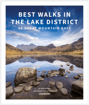
Wandelgids Lake District - Cicerone Press • 9781786312679
Wandelgids Lake District - Cicerone Productomschrijving: An inspirational guidebook to 50 challenging walks on the high fells of the Lake District. The graded circular routes, between 4 and 14 miles in length, cover classic Lakeland summits like Fairfield, Scafell Pike, Great Gable and Blencathra, to the lesser-known High Spy, King's How and Brund Fell. Seasons: Suitable all-year ro…
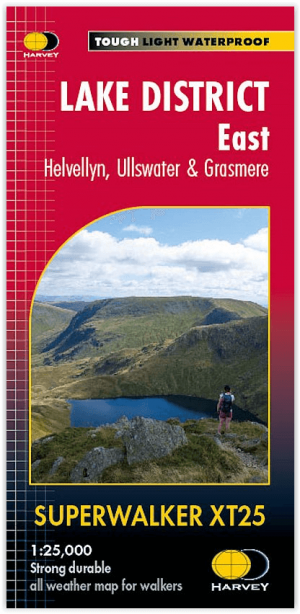
Wandelkaart XT25 Lake District Oost - Harvey Maps • 9781851376438
Wandelkaart Lake District East - Harvey Maps Productomschrijving: Inclusief Helvellyn en High Street en bergen ten oosten van de Kendal-Keswick weg. De Kirkstone Pass, Ullswater, Haweswater en Kentmere staan op dit blad. Gedetailleerde kaart voor bergwandelaars van de oostelijke bergen van het Lake District National Park. - Inclusief 82 bergtoppen beschreven door A.Wainwright. …

Wandelgids King Charles III England Coast Path - Cicerone • 9781786310279
King Charles III England Coast Path - Cicerone Productomschrijving: A guidebook to walking the northwest section of the King Charles III England Coast Path between Gretna and Chester. Covering 590km (367 miles), this straightforward trail along the Cumbria, Lancashire and Merseyside coast takes around 1 month to hike. The route is described from north to south in 28 stages between 13 a…

Wandelgids 060 Pathfinder guides Lake District NP - OS • 9780319090169
Wandelgids Lake District NP - OS Productomschrijving: The Pathfinder Guide for the Lake District NP is the ideal companion to gaining an appreciation of England's most mountainous region with its balanced range of walks across the whole of the National Park. There are a total of 28 outstanding circular walks in the Lake District National Park from 3 to 10 miles with easy-to-follow route de…

Fietsgids Bikepacking in the Lake District - Cicerone • 9781786311177
Bikepacking in the Lake District - Cicerone Productomschrijving: Bikepacking is het off-road equivalent van fietstochten en biedt vaak de mogelijkheid om wild te kamperen naast de gebruikelijke overnachtingsmogelijkheden: het belooft een ongeëvenaarde kans om jezelf onder te dompelen in de omgeving terwijl je het beste van wat het gebied te bieden heeft op twee wielen verkent. Deze gids pr…