

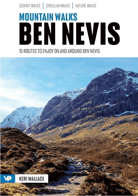
Wandelgids Mountain Walks Ben Nevis - Vertebrate Publ.
15 Routes to enjoy on- and around Ben Nevis
Korte omschrijving
Wandelgidsen Highlands, Schotland van Vertebrate Publishing. Ideaal voor tochten in Schotland.
Wandelgids Mountain Walks Ben Nevis - Vertebrate Productomschrijving: 15 routes to enjoy on- and around Ben Nevis. Mountain Walks Ben Nevis by Keri Wallace is a guide to walking routes ...

Specificaties
- Uitgever: Vertebrate Publishing
- ISBN-13: 9781839812460
- HOOFDCATEGORIEËN: Wandelgids
- Activiteiten: Wandelen, Hiking & Trekking
- Auteur: Keri Wallace
- Regio: Highlands, Schotland
- Land: Schotland
- Taal: Engels
- Iconische Bergketens van Europa: De Schotse Highlands
- De Schotse Munro's: Ben Nevis (1344 m) - Section 4
Volledige omschrijving
Wandelgids Mountain Walks Ben Nevis - Vertebrate
Productomschrijving: 15 routes to enjoy on- and around Ben Nevis.
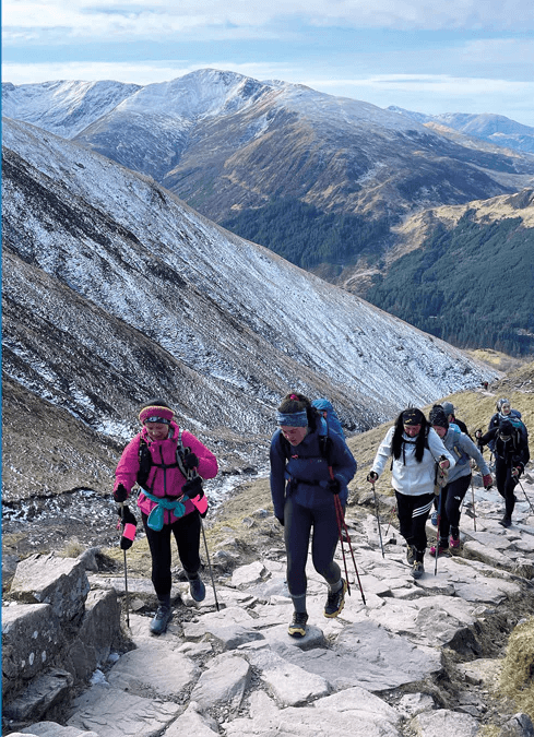
Mountain Walks Ben Nevis by Keri Wallace is a guide to walking routes to the summit of Ben Nevis in Lochaber, Scotland. Alongside the summit routes, there are also lower-level alternatives for mixed weather or shorter days and those new to mountain walking.
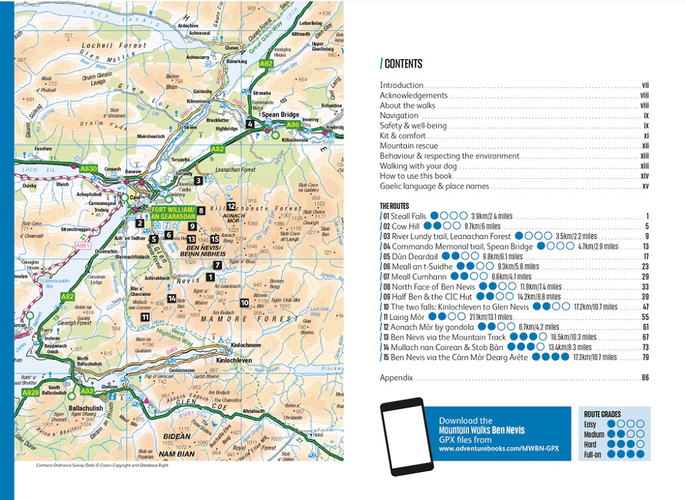
Among the 15 inspiring routes, the classics are all included, such as Ben Nevis summit via the iconic grade-1 scramble on the Càrn Mòr Dearg Arête, and even those who are familiar with the area will find new and imaginative route ideas to discover. Whether you aspire to climb Ben Nevis on the traditional route from Glen Nevis, or you’re looking for a bigger adventure, this is the only guidebook you need.
Together with stunning photography, each route features: Ordnance Survey 1:25,000 maps; easy-to-follow, detailed directions; downloadable GPX files; essential info about public transport and safety advice; details about the terrain and navigation; and facilities, refreshments and points of interest.
Locatie op kaart
Artikelen uit dezelfde regio
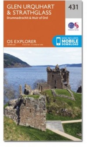
Wandelkaart 431 Glen Urquhart & Strathglass- Schotland OSI • 9780319472835
Wandelkaart Glen Urquhart & Strathglass - Highland's Schotland Omvat ook: Drumnadrochit & Muir of Ord. Productbeschrijving: Ten westen van de Highland hoofdstad van Inverness, toont OS Explorer kaart 431 toont Drumnadrochit noordelijk naar Muir of Ord. Het omvat de nationale Scenic gebied van Strathfarrar, het Orrin Reservoir, en een kleine hoeveelheid van de Great Glen way. De OS Expl…
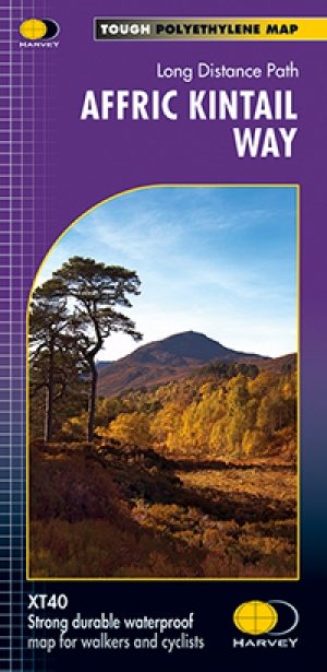
Wandelkaart Fietskaart Affric Kintail Way - Harvey maps • 9781851375530
Wandelkaart - Fietskaart Affric Kintail Way - Harvey maps Productomschrijving: De "Afric Kintail Way" is een prachtige cross-country route voor wandelaars, mountainbikers en ruiters, die voor bijna 44 mijl loopt, van "Drumnadrochit" tot aan de "Loch Ness" bij "Morvic" in de "Kintail" door tot "Loch Duich". Het pad is in de nabijheid van de Great Glen bij Drumnadrochit, en biedt de reizige…
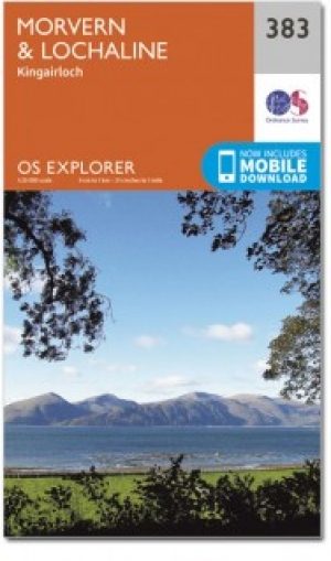
Wandelkaart 383 Morvern & Lochaline- Schotland - OSI • 9780319472491
Wandelkaart Morvern & Lochaline- Highland Schotland Omvat ook: Kingairloch. Productbeschrijving: Kaart blad nummer 383 in de OS Explorer kaarten reeks omvat Morvern en Lochaline in de Schotse Hooglanden. Dit schilderachtige gebied beschikt over vele Lochs om te verkennen, met inbegrip van Loch Linnhe, Loch Aline en Loch Sunart samen met de Sound of Mull. De steden Kingairloch en Lochal…
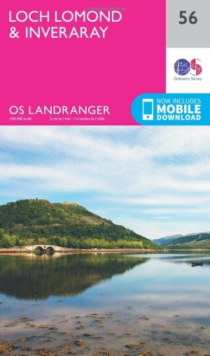
Wandelkaart 56 Loch Lomond & Inveraray- Trossachs NP - OSI • 9780319261545
Wandelkaart Loch Lomond & Inveraray - Schotland Productbeschrijving: Gezegd dat dit de toegangspoort tot de hooglanden is, heeft Inveraray een breed scala aan attracties in aanbod van Inveraray Castle en tuinen tot wandelen in de nabijgelegen Glens Shira en Aray. OS Landranger kaart 56 toont ook de West Highland Way, die op zijn beurt langs de oevers van Loch Lomond in het Trossachs Nation…

Wandelkaart OL37 Cowal East- Dunoon & Iverary - OS • 9780319242766
Wandelkaart Cowal East- Dunoon & Iverary - OS Productomschrijving: Cowal East- Dunoon & Iverary, & Part of Loch Lomond & The Trossachs National Part. Omvat: Cowal East- Dunoon & Iverary, & Part of Loch Lomond & The Trossachs National Part, Argyll Forest Park, Kyles of Bute National Scenic Area, Cowal Way & the West Island Way. Ontdek de OL-serie van Ordnance Survey: De OL-serie (…