

Wandelgids Lake District Low level & lake walks - Cicerone
Coniston- Hawkshead- Grange-over-Sands- Grasmere- Ambleside


Korte omschrijving
Wandelgidsen Cumbria & Lake District, England van CICERONE Press. Ideaal voor tochten in England.
Lake District NP Low level & lake walks - Cicerone Productomschrijving: This guidebook describes 30 of the best low-level walks in the Lake District. From delightful wooded glades and sparkl...

Specificaties
- Uitgever: CICERONE Press
- ISBN-13: 9781786312273
- HOOFDCATEGORIEËN: Wandelgids
- Auteur: Vivienne Crow
- Regio: Cumbria & Lake District, England
- Land: England
- Nationale parken: Lake District NP, Cumbria England
- Editie: 2
- Taal: Engels
- De Nationale Parken: Lake district National Park, England
- Wandelen in de Bossen & natuurgebieden van Europa: Lake district, England
Volledige omschrijving
Lake District NP Low level & lake walks - Cicerone
Productomschrijving: This guidebook describes 30 of the best low-level walks in the Lake District. From delightful wooded glades and sparkling tarns, to waterfalls and glacier-carved valleys towered over by craggy mountains. The walks described aim to seek out the best walking that the lower areas of the Lake District have to offer.
Seasons:
All year - each season holds its own delights, but there's a chance of encountering snow from December to March.
Centres:
Coniston, Hawkshead, Grange-over-Sands, Grasmere, Ambleside, Elterwater, Windermere, Boot, Buttermere, Loweswater, Keswick, Braithwaite, Glenridding, Patterdale, Pooley Bridge.
Difficulty:
Wide range of terrain from constructed trails to open fell; most of the walks easy to follow on the ground, although a few include short stretches of boggy moorland; no technical difficulties.
Must See:
Borrowdale's ancient woodland; beauty spots such as Tarn Hows and Orrest Head; tranquil lakeshore walks beside Ullswater, Buttermere, Grasmere and Crummock Water; spectacular waterfalls including Aira Force; Hardknott Roman Fort and stone circles; breathtaking views from Wansfell Pike, Latterbarrow and Hallin Fell.

Artikelen uit dezelfde regio
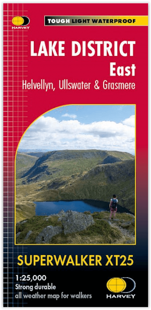
Wandelkaart XT25 Lake District Oost - Harvey Maps • 9781851376438
Wandelkaart Lake District East - Harvey Maps Productomschrijving: Inclusief Helvellyn en High Street en bergen ten oosten van de Kendal-Keswick weg. De Kirkstone Pass, Ullswater, Haweswater en Kentmere staan op dit blad. Gedetailleerde kaart voor bergwandelaars van de oostelijke bergen van het Lake District National Park. - Inclusief 82 bergtoppen beschreven door A.Wainwright. …
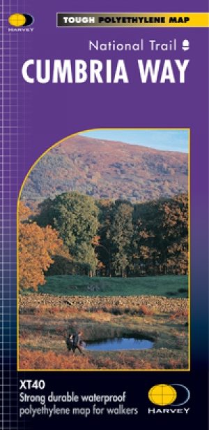
Wandelkaart Cumbria Way - Harvey maps • 9781851374243
Wandelkaart Cumbria Way - Long Distance Paths - Harvey maps Productomschrijving: Deze kaart heeft betrekking op de volledige lengte van The Cumbria Way, 112km (70 mijl) van Ulverston naar Carlisle. Het passeert Coniston, Dungeon Gildors, Keswick en Caldbeck. Meestal door valleien in plaats van over hoge toppen. Informatie over het vinden van accommodatie, camping, voedsel. Routebeschrijvin…
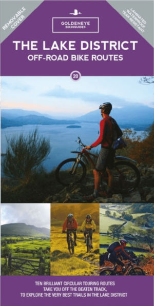
Mountainbike kaart Lake District NP - Goldeneye • 9781859653005
MTB kaart Lake District NP - Goldeneye Productomschrijving: The routes are graded with approximate time & mileage. Unsurprisingly, the mountainous landscape of the Lake District has some of the toughest mountain biking in the UK and, on major routes crossing the steep sided ridges between major valleys, long pushes or carries are inescapable - even for the fittest. This is only one asp…
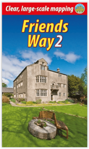
Wandelgids The Friends Way 2 - Rucksack Readers • 9781913817077
The Friends Way 2 - Rucksack Readers Productomschrijving: De Friends Way 2 route zal niet alleen alle Quakers aanspreken die van wandelen houden, maar ook die wandelaars die het opmerkelijke verhaal van George Fox's wandeling in 1652 en zijn centrale rol in het stichten van het Quakerisme nog niet kennen. Dit vervolg bevat de route van Sedbergh naar Swarthmoor Hall bij Ulverston. De vorig…
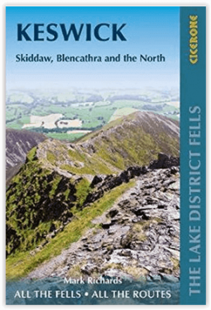
Wandelgids Lake District Fells Keswick and the North - Cicerone • 9781786310378
Wandelgids - Lake District Fells Keswick and the North - Cicerone Productomschrijving: Als deel van de Lake District Fells series, omvat deze een dikke 30 lakeland summits beklimbaar vanuit Keswick, Whinlatter, Bassenthwaite, Caldbeck, Mungrisdale & Threlkeld, met als hoogtepunten, Skiddaw & Blencathra, met langere route inbegrepen voorgesteld Product description: Part of the Walking t…