

Wandelgids Guide to the Lake District - AA
Het Lake District is een bergachtige streek.

Korte omschrijving
Wandelgidsen Cumbria, England van AA Publishing. Ideaal voor tochten in United Kingdom, Great Britain.
Wandelgids - Guide to the Lake District - AA Productomschrijving: Cumbria op zich werd al eens enkel gelend voor de Lake District, maar is uiteraard veel meer dan dat. Veel van de regio houd...

Specificaties
- Uitgever: AA Publishing
- ISBN-13: 9780749579432
- HOOFDCATEGORIEËN: Wandelgids
- Regio: Cumbria, England
- Land: United Kingdom, Great Britain
- Nationale parken: Lake District NP, Cumbria England
- Taal: Engels
- De Nationale Parken: Lake district National Park, England
- Iconische Wandelroutes: Lake district, Cumbria England
- Wandelen in de Bossen & natuurgebieden van Europa: Lake district, England
Volledige omschrijving
Wandelgids - Guide to the Lake District - AA
Productomschrijving: Cumbria op zich werd al eens enkel gelend voor de Lake District, maar is uiteraard veel meer dan dat. Veel van de regio houd wel degelijk deze prachitge plaats in. Een nationaal park van formaat, die geen enkel natuurliefhebber onontroerd laat. The Lake District national park, is een plaat uit de duizend in Engeland, alhoewel niet dicht bij de deur voor alle zuiderlijk gelegen regio's. Het Lake District is een bergachtige streek. Alle toppen in Engeland hoger dan 900 meter boven zeeniveau liggen in dit gebied. De plaats staat evengoed op de lijst van de UHESCO werelderfgoed lijst. Deze gids biedt u alles die u maar kunt vinden in dit park en meer
Omschrijving van de uitgever zelf: To some a walker's paradise, to others a foodie's heaven, the delights of the Lake District might be world-famous, yet picturesque peace and solitude is always surprisingly easy to find. The AA Guide to Lake District & Cumbria gives you all you need to know to get the most out of your visit to this wonderful area. From the 'most beautifully located' theatre in Britain to the last working slate mine in the country, the home of William Wordsworth to the landscapes that inspired Beatrix Potter, each entry is packed with the very best sites to see, things to do, recommendations for eating and drinking, and places to explore nearby. With everything from local legends to must-see festivals and events, this authoritative and practical guide ensures you will never be lost for something to do.
Locatie op kaart
Artikelen uit dezelfde regio
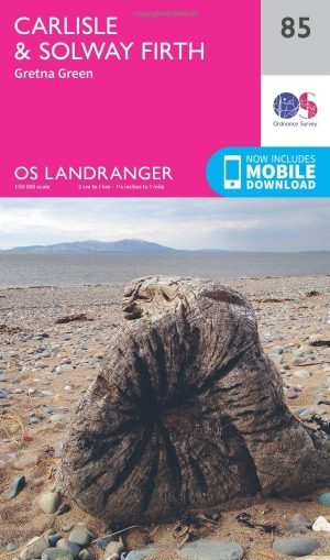
Wandelkaart 85 Carlisle & Solway Firth- Cumbria England - OSI • 9780319261835
Wandelkaart Carlisle & Solway Firth - Cumbria England Productbeschrijving: Deze kaart van Carlisle & Solway Firth omvat ook Gretna Green, Annan, Canonbie, Brydekirk, Dalton, Kirkbride, Silloth, Wigton, Thursby evenals deel van het Lake District National Park en deel van Hadrianus Wall path. De OS Landranger kaarten reeks heeft betrekking op Groot-Brittannië met 204 gedetailleerde kaart…
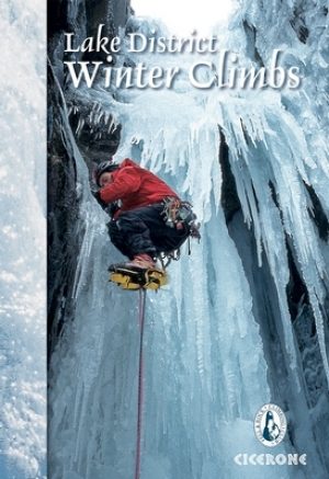
Klimgids Lake District winter climbs - Cicerone • 9781852847166
Klimgids - Lake District winter climbs - Cicerone Productomschrijving: Een onmisbare gids voor de beste winter klimroutes in het Lake District. Alle bekende routes in elk deel van de Meren zijn beschreven. Van klassieke hoge-berg afvoerputten en steunberen op de rotsen zoals Scafell, Pilar en Great Gable tot bevroren waterlopen en ijs(water)vallen met inbegrip van Great Gully op de Wasdale…

Wandelkaart OL05 English Lakes - North Eastern area - OS • 9780319264003
Wandelkaart English Lakes - North Eastern area - OS Productomschrijving: Een topografische wandelkaart van het noordoostelijke deel van de Lake District National park. Omvat: English Lakes - North Eastern area, Penrith, Patterdale & Caldbeck, Parts of the Lake District, and The Cumbria Way. Ontdek de OL-serie van Ordnance Survey: De OL-serie (Outdoor Leisure) van Ordnance Survey …
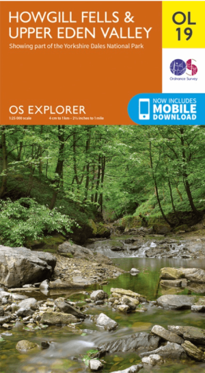
Wandelkaart OL19 Howgill Fells & Upper Eden Valley - OS • 9780319263341
Wandelkaart Howgill Fells & Upper Eden Valley - OS Productomschrijving: Topografische wandelkaart van The Howgill Fells & The Upper Eden Valley, dat deels in het Lake Distrisct National Park ligt. Omvat: Howgill Fells & Upper Eden Valley, parts of the Yorkshire Dales National Park en The Lake Distrisct National Park, The Pennine Journey, Dales High Way, Dales Way, E2 European Long D…

Wandelkaart XT25 Lake District Zuid Oost - Harvey maps • 9781851375486
Wandelkaart - Lake District Zuid Oost - XT25 - Harvey maps Productomschrijving: Het Lake District (Merengebied) is een nationaal park in het graafschap Cumbria in het noordwesten van Engeland. Het is een van de dertien nationale parken in het Verenigd Koninkrijk. Het zuidoosten is een bergachtige streek. Alle toppen in Engeland hoger dan 900 meter boven zeeniveau liggen in dit gebied. Het …