

Wandelgids Forest of Dean, 15 Short Walks - Cicerone
Dean Sculpture Trail, Tidenham Chase & the Devil’s Pulpit


Korte omschrijving
Wandelgidsen Gloucestershire, Egland van CICERONE Press. Ideaal voor tochten in England.
Wandelgids 15 Short Walks in the Forest of Dean - Cicerone Productomschrijving: Would you like to explore the best of the Forest of Dean? This guidebook covers 15 of the best short walks in ...

Specificaties
- Uitgever: CICERONE Press
- ISBN-13: 9781786312884
- HOOFDCATEGORIEËN: Wandelgids
- Activiteiten: Wandelen, Hiking & Trekking
- Auteur: Mike Dunn
- Regio: Gloucestershire, Egland
- Land: England
- Editie: 1
- Taal: Engels
- De Engelse Graafschappen: Gloucestershire
Volledige omschrijving
Wandelgids 15 Short Walks in the Forest of Dean - Cicerone
Productomschrijving: Would you like to explore the best of the Forest of Dean? This guidebook covers 15 of the best short walks in the area (between 4 and 9km, all under three hours), including the Dean Sculpture Trail, Tidenham Chase and the Devil’s Pulpit, Nagshead Nature Reserve and May Hill.
Why choose this guidebook?
- Easy to moderate walks suitable for almost everyone
- Short climbs but no challenging terrain
- Numbered points which tie OS maps to clear route description
- Facilities, parking and highlights for every route
- Route Summary Table to help you choose your walk
Cicerone’s Short Walks guidebooks contain everything you need to get outdoors and discover the best of an area. The routes are perfect if you’re new to walking or looking for something you can enjoy with the whole family. Let the adventures begin!

Artikelen uit dezelfde regio

Wandelgids 50 walks in Gloucestershire - AA Publishing • 9780749583729
50 walks in Gloucestershire - AA Publishing Productomschrijving: Gloucestershire, gelegen in het schilderachtige hart van Engeland, biedt een rijke verscheidenheid aan wandelroutes die zowel natuurliefhebbers als geschiedenisfanaten aanspreken. Met 50 wandelingen verspreid door de glooiende heuvels van de Cotswolds, diepe bossen van het Forest of Dean en langs historische bezienswaardighed…

Wandelkaart 169 Cirencester & Swindon - England - OSI • 9780319243626
Wandelkaart Cirencester & Swindon - England - OSI Omvat : Fairford & Cricklade. Productbeschrijving: 169 / Cirencester & Swindon, Glousctershire, England - Kaart nummer 169 in de OS Explorer reeks heeft betrekking op een gebied van Cirencester en Fairford met een gedeelte van de Cotswolds AONB in het noorden, tot de North Wessex Downs AONB in het zuiden. Nationale routes van Thames…
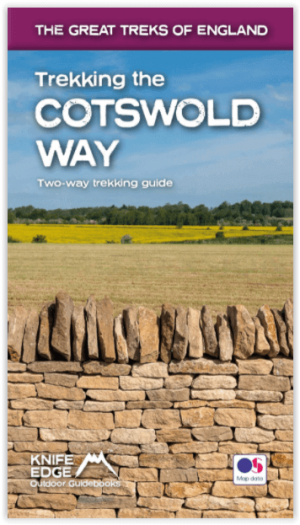
Wandelgids Cotswold - Way Two-way trekking guide - Knife Edge • 9781912933136
Cotswold - Way Two-way trekking guide - Knife Edge Productomschrijving: De Cotswold Way legt 102 mijl af door het sublieme landschap van de Cotswolds, een streek die het toonbeeld is van historisch Engeland. Onderweg gaat u over de top van de Cotswold Escarpment door een prachtig glooiend landschap en historische chocolade-doosdorpjes, gebouwd van prachtige honingkleurige stenen, die eeuwe…
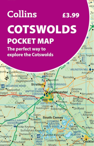
Landkaart Wegenkaart Pocket map Cotswolds AONB - Harper-Collins • 9780008780395
Wegenkaart Pocket map Cotswolds AONB - Harper Productomschrijving: De Collins Cotswolds Pocket Map is een compacte toeristische wegenkaart voor het verkennen van de Cotswolds AONB en het omliggende deel van Zuid-Centraal-Engeland. Het kaartgebied strekt zich uit van Worcester in het noorden tot Trowbridge in het zuiden, en van Cinderford in het westen tot Oxford in het oosten. Daarmee bes…
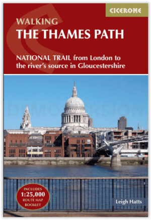
Wandelgids Walking the Thames Path National Trail - Cicerone • 9781786311481
Thames Path National Trail - Cicerone Productomschrijving: Een gloednieuwe wandelgids vover het Theemspad, een National Trail van 180 mijl tussen de Thames Barrier in Londen en de bron van de rivier in Gloucestershire, door Windsor, Oxford en het platteland. Biedt volledige informatie over deze gemakkelijke route langs de rivier die ongeveer twee weken in beslag neemt. Inclusief een 1:25K …