

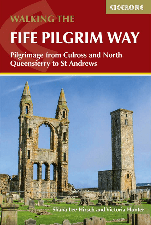
Wandelgids Fife Pilgrim Way Walking - Cicerone
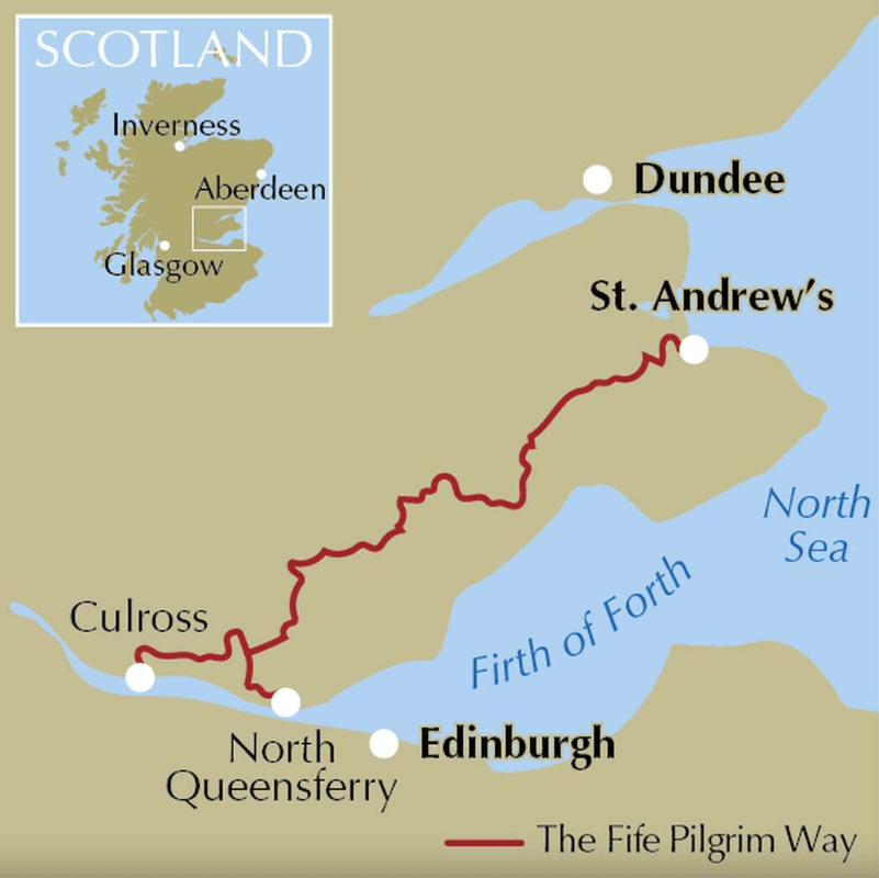
Culross to St-Andrews - 103 km - 6 Etappes

Korte omschrijving
Wandelgidsen Fife, Schotland van CICERONE Press. Ideaal voor tochten in Schotland.
Wandelgids Fife Pilgrim Way Walking - Cicerone Productomschrijving: A guidebook to walking the Fife Pilgrim Way from Culross on the Firth of Forth through the heart of the ancient Kingdom of...

Specificaties
- Uitgever: CICERONE Press
- ISBN-13: 9781786312242
- HOOFDCATEGORIEËN: Wandelgids
- Activiteiten: Wandelen, Hiking & Trekking
- Auteur: Shana Lee Hirsch, Victoria Hunter
- Regio: Fife, Schotland
- Land: Schotland
- Editie: 1
- Taal: Engels
Volledige omschrijving
Wandelgids Fife Pilgrim Way Walking - Cicerone
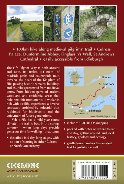
Productomschrijving: A guidebook to walking the Fife Pilgrim Way from Culross on the Firth of Forth through the heart of the ancient Kingdom of Fife to St Andrews on Scotland's North Sea coast. Covering 103 km (64 miles), this fully waymarked trail takes around 6 days to hike.
The route is described from south to north in 6 stages between 14 and 16km (8-10 miles) in length. An alternative first stage begins at North Queensferry, joining the main route at Dunfermline.
- Contains step-by-step description of the route alongside 1:50,000 OS maps
- Handy facilities planner, route summary tables and alternative staging options help you plan your itinerary
- Refreshment and accommodation information included for each route stage
- Public transport by stage is listed for those wanting to break the trail into shorter sections
Artikelen uit dezelfde regio

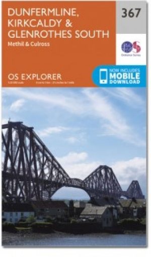
Wandelkaart 367 Dunfermline- Kirkcaldy & Glenrothes - OSI • 9780319246153
Wandelkaart Dunfermline- Kirkcaldy & Glenrothes South - Schotland Productbeschrijving: Methil & Culross. 367 / Dunfermline, Kirkcaldy & Glenrothes South, Fife, Schotland - OS Explorer kaart 367 toont Dunfermline, Kirkcaldy en te Firth of Forth. Het Fife kustpad (deel van de North Sea Trail) is inbegrepen, alsook de Lomond Hills Regionaal Park en Loch erts. De OS Explorer kaart voor Dun…
Wandelkaart 367 Dunfermline- Kirkcaldy & Glenrothes - OSI • 9780319472354
Wandelkaart Dunfermline- Kirkcaldy & Glenrothes - Fife Schotland Omvat ook: Methil & Culross. Productbeschrijving: OS Explorer kaart 367 toont Dunfermline, Kirkcaldy en te Firth of Forth. Het Fife kustpad (deel van de North Sea Trail) is inbegrepen in het Lomond Hills Regionaal Park en Loch Ore. De OS Explorer kaart voor Dunfermline, Kirkcaldy & Glenrothes South is beschikbaar in zowel…

Wandelkaart 370 Glenrothes North & Falkland- Schotland OSI • 9780319472378
Wandelkaart Glenrothes North- Falkland & Lomond Hills - Schotland Omvat ook: Auchtermuchty & Cupar. Productbeschrijving: Kaart nummer 370 omvat Glenrothes North, Falkland en Lomond hills. Hoogtepunten zijn West Lomond river Eden, Largo Bay en Fife kustpad. Omvat ook Auchtermuchty en Cupar. De OS Explorer kaart voor Glenrothes North, Falkland & Lomond Hills is beschikbaar in zowel de st…

Wandelgids Fife Pilgrim Way - Rucksack Readers • 9781913817183
Wandelgids Fife Pilgrim Way - Rucksack Readers Productomschrijving: Deze route loopt van de Firth of Forth bij Edinburgh naar de beroemde pelgrimsbestemming St Andrews. Andrews. De route is rijk aan industrieel erfgoed en voert langs voormalige mijnbouwgemeenschappen, spoorwegen, textielcentra en kastelen, maar bovenal viert de route het pelgrimskoninkrijk en de geschiedenis van Fife via d…
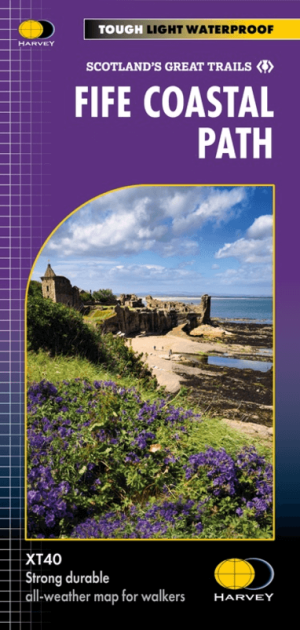
Wandelkaart Fife Coastal Path XT40 - Harvey Maps • 9781851376902
Wandelkaart Fife Coastal Path - Harvey Maps Productomschrijving: Het Fife Coastal Path biedt een gevarieerd aanbod aan landschappen, waaronder ruige kliffen, zandstranden, pittoreske vissersdorpjes en historische kastelen. Het pad biedt wandelaars de mogelijkheid om natuurreservaten te verkennen, wilde dieren te spotten en te genieten van een panoramisch uitzicht op zee. Belangrijke a…