

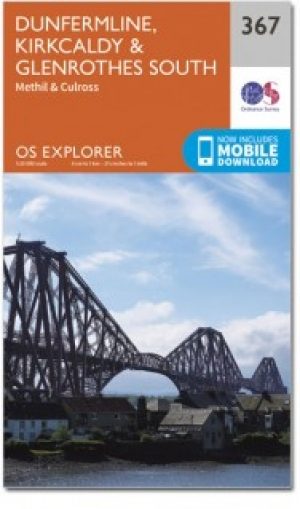
Wandelkaart 367 Dunfermline- Kirkcaldy & Glenrothes - OSI
Het Fife kustpad in het Lomond Hills Regionaal Park

Korte omschrijving
Wandelkaarten Fife, Schotland van Ordnance Survey. Ideaal voor tochten in Schotland.
Wandelkaart Dunfermline- Kirkcaldy & Glenrothes - Fife Schotland Omvat ook: Methil & Culross. Productbeschrijving: OS Explorer kaart 367 toont Dunfermline, Kirkcaldy en te Firth of Forth...

Specificaties
- Uitgever: Ordnance Survey
- ISBN-13: 9780319472354
- HOOFDCATEGORIEËN: Wandelkaart
- Activiteiten: Wandelen, Hiking & Trekking
- Regio: Fife, Schotland
- Land: Schotland
- Waterafstotende kaart: Ordnance Survey ACTIVE Explorer Weatherproof Maps
- TOPO's & Stafkaarten: Topografisch wandelen
- Schaal: 1:25000
- Taal: Engels
- Reeks/Serie: Explorer ACTIVE Series OSI
Volledige omschrijving
Wandelkaart Dunfermline- Kirkcaldy & Glenrothes - Fife Schotland
Omvat ook: Methil & Culross.
Productbeschrijving: OS Explorer kaart 367 toont Dunfermline, Kirkcaldy en te Firth of Forth. Het Fife kustpad (deel van de North Sea Trail) is inbegrepen in het Lomond Hills Regionaal Park en Loch Ore. De OS Explorer kaart voor Dunfermline, Kirkcaldy & Glenrothes South is beschikbaar in zowel de standaard papieren versie als de weerbestendige 'Actief' versie.
Productdiscription: OS Explorer map 367 shows Dunfermline, Kirkcaldy and te Firth of Forth. Included is the Fife Coastal Path (part of the North Sea Trail) the Lomond Hills Regional Park and Loch Ore. The OS Explorer map for Dunfermline, Kirkcaldy & Glenrothes South is available in both the standard paper version and weatherproof 'Active' version.
Locatie op kaart
Gekoppelde artikelen

Wandelkaart 367 Dunfermline- Kirkcaldy & Glenrothes - OSI • 9780319246153
standaard versieWandelkaart Dunfermline- Kirkcaldy & Glenrothes South - Schotland Productbeschrijving: Methil & Culross. 367 / Dunfermline, Kirkcaldy & Glenrothes South, Fife, Schotland - OS Explorer kaart 367 toont Dunfermline, Kirkcaldy en te Firth of Forth. Het Fife kustpad (deel van de North Sea Trail) is inbegrepen, alsook de Lomond Hills Regionaal Park en Loch erts. De OS Explorer kaart voor Dun…
Wandelkaart 367 Dunfermline- Kirkcaldy & Glenrothes - OSI • 9780319472354
weatherproof versieWandelkaart Dunfermline- Kirkcaldy & Glenrothes - Fife Schotland Omvat ook: Methil & Culross. Productbeschrijving: OS Explorer kaart 367 toont Dunfermline, Kirkcaldy en te Firth of Forth. Het Fife kustpad (deel van de North Sea Trail) is inbegrepen in het Lomond Hills Regionaal Park en Loch Ore. De OS Explorer kaart voor Dunfermline, Kirkcaldy & Glenrothes South is beschikbaar in zowel…
Artikelen uit dezelfde regio
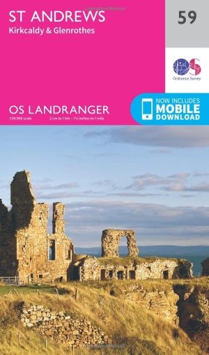
Wandelkaart 59 St-Andrews- Fife Schotland - OSI • 9780319261576
Wandelkaart 59 - St-Andrews - Fife Schotland Productbeschrijving: OS Landranger kaart 59 toont St-Andrews, Kirkcaldy en Glenrothes tussen de Firth of Forth en de Firth of Tay. St Andrews is het best bekend als de geboorteplaats van golf, en nog steeds trekt de plaats duizenden bezoekers naar de Links-cors. Het heeft ook één van de oudste universiteiten in de wereld. De OS Landranger ka…
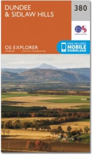
Wandelkaart 380 Dundee & Sidlaw Hills- Fife - OSI • 9780319246269
Wandelkaart Dundee & Sidlaw Hills - Fife East Schotland Productbeschrijving: 380 / Dundee & Sidlaw Hills, Fife, East Schotland - Dubbel zijdige OS Explorer kaart nummer 380 toont Dundee, de heuvels Sidlaw, de Firth of Tay en een deel van het Fife kustpad. Hoogtepunten van het gebied zijn evenals de industriestad van Dundee, Broughty Ferry en de Sidlaws. Kijk uit voor de verspreide cair…
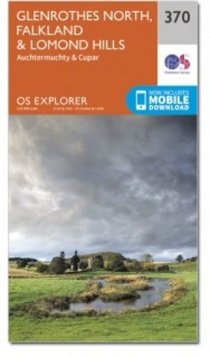
Wandelkaart 370 Glenrothes North- Falkland & Lomond Hills - OSI • 9780319246177
Wandelkaart Glenrothes North & Falkland & Lomond Hills - Schotland Productbeschrijving: Auchtermuchty & Cupar. 370 / Glenrothes North & Falkland & Lomond Hills, Fife, Schotland - Kaart nummer 370 omvat Glenrothes North, Falkland en Lomond Hills. Hoogtepunten zijn West Lomond rivier Eden, Largo Bay en Fife kustpad. Omvat ook Auchtermuchty en Cupar. De OS Explorer kaart voor Glenrothes N…
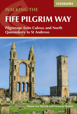
Wandelgids Fife Pilgrim Way Walking - Cicerone • 9781786312242
Wandelgids Fife Pilgrim Way Walking - Cicerone Productomschrijving: A guidebook to walking the Fife Pilgrim Way from Culross on the Firth of Forth through the heart of the ancient Kingdom of Fife to St Andrews on Scotland's North Sea coast. Covering 103 km (64 miles), this fully waymarked trail takes around 6 days to hike. The route is described from south to north in 6 stages between …
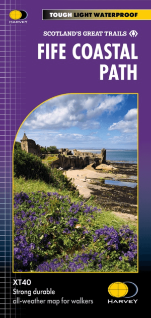
Wandelkaart Fife Coastal Path XT40 - Harvey Maps • 9781851376902
Wandelkaart Fife Coastal Path - Harvey Maps Productomschrijving: Het Fife Coastal Path biedt een gevarieerd aanbod aan landschappen, waaronder ruige kliffen, zandstranden, pittoreske vissersdorpjes en historische kastelen. Het pad biedt wandelaars de mogelijkheid om natuurreservaten te verkennen, wilde dieren te spotten en te genieten van een panoramisch uitzicht op zee. Belangrijke a…