

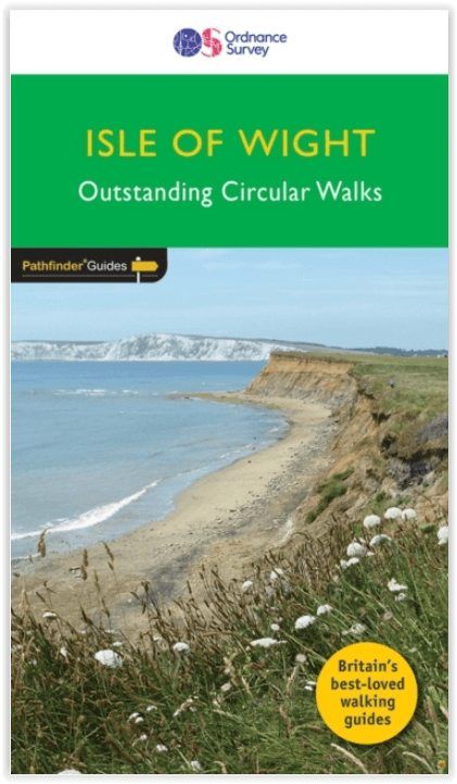
Wandelgids 094 Pathfinder guides The Isle of Wight - OS
De zeestraat van Solent - Southampton
Korte omschrijving
Wandelgidsen South East England en Isle of White, Engeland van Ordnance Survey. Ideaal voor tochten in England.
Wandelgids The Isle of Wight - OS Productomschrijving: The ISle of White is an island of the Coast of England, Het eiland wordt van Engeland gescheiden door de zeestraat de Solent. Aan de ov...

Specificaties
- Uitgever: Ordnance Survey
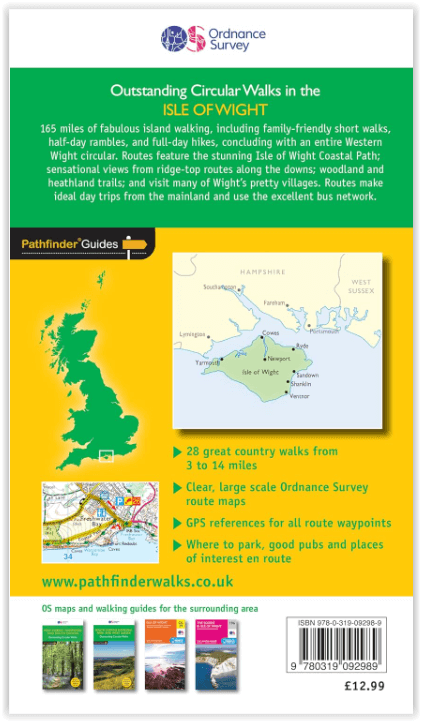
- ISBN-13: 9780319092989
- HOOFDCATEGORIEËN: Wandelgids
- Activiteiten: Wandelen, Hiking & Trekking
- Regio: Isle of White, Engeland, South East England
- Land: England
- Taal: Engels
- Reeks/Serie: Outstanding Circular Walks, Pathfinder Series, OS
- Grote Eilanden: Isle of White, Ierse zee
Volledige omschrijving
Wandelgids The Isle of Wight - OS
Productomschrijving: The ISle of White is an island of the Coast of England, Het eiland wordt van Engeland gescheiden door de zeestraat de Solent. Aan de overkant ligt Southampton.
Artikelen uit dezelfde regio

Wandelkaart 165 Aylesbury & Leighton Buzzard - OSI • 9780319262634
Wandelkaart Aylesbury & Leighton Buzzard - England Productbeschrijving: Kaart nummer 165 is een all purpose kaart vol gepakt met informatie om u het gebied te helpen leren kennen. De 204 Landranger-kaarten bestrijken het land. Elke kaart heeft een oppervlakte van 40 km door 40 km (25 mijl door 25 mijl) en zoals andere kaarten van Ordnance Survey, National Grid-vierkanten worden verstrekt z…

Wandelkaart Ridgeway National Trail SE England - Harvey maps • 9781851374786
Wandelkaart Ridgeway National Trail SE England - Harvey maps Productomschrijving: Toont de gehele route van de Ridgeway op één plan, vanaf Overton Hill in de buurt van Avebury in Wiltshire naar Ivinghoe Beacon, ten oosten van Tring in Hertfordshire 137 km (85 mijl). Geschikt voor wandelaars, fietsers en ruiters. Informatie over het vinden van accommodatie, camping, voedsel. Routebeschrijvi…
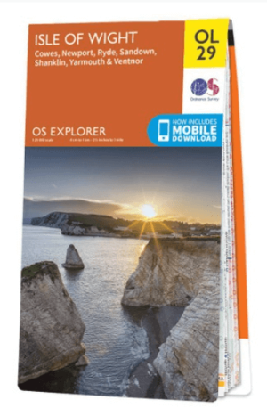
Wandelkaart OL29 Isle of Wight South East England - OS • 9780319263631
Wandelkaart Isle of Wight - OS Productomschrijving: Isle of Wight South East England, Isle of Whight AONB, New Forest National Park, Allan King Way, Bembridge Trail, Coastal Path, E9 European Long Distance Trail, Freshwater Way, Hamstead Trail, Nunwell Trail, Pilgrim's Trail, Shepherds Trail, Shipwrights Way, Solent Way, Stenbury Trail, Tennyson Trail, Worsley Trail & Yar River Trail. …
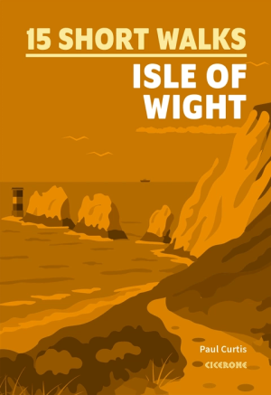
Wandelgids Isle of Wight, 15 short walks - Cicerone Press • 9781786312556
Wandelgids Isle of Wight, 15 short walks - Cicerone Productomschrijving: Would you like to explore the best of the Isle of Wight? This guidebook covers 15 of the best short walks in the area (all under three hours), including The Needles, Carisbrooke Castle, Quarr Abbey and the Tennyson Trail. Why choose this guidebook? - Easy to moderate walks suitable for almost everyone - Shor…
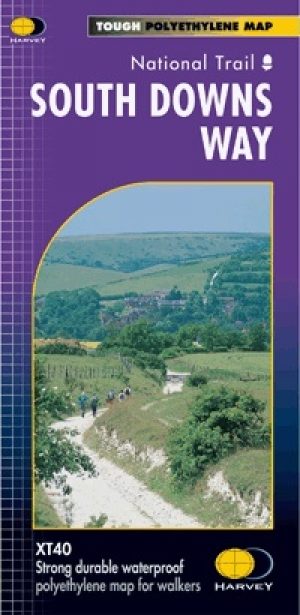
Wandelkaart South Downs Way - Harvey maps • 9781851374779
Wandelkaart South Downs Way - Harvey maps Productomschrijving: Toont de gehele route op één plan, 162km (101 mijl) tussen Winchester en Eastbourne. Geschikt voor wandelaars, fietsers en ruiters met alternatieve routes duidelijk aangetoond. Informatie over het vinden van accommodatie, camping en voedsel. Routebeschrijving naar de start van de trail. Nieuwe generatie HARVEY Superwalker,…