

Stadsplattegrond 262 Sydney City Streets & Suburbs - Gregory's
Sydney city- Dee Why- Malabar- Gordon- Kogarah- Haberfield....

Korte omschrijving
Stadskaart Sydney City Streets & Suburbs - UBD Gregory's Productomschrijving: The latest edition of the Sydney City Streets and Suburbs Map has been fully revised and updated and includes co...

Specificaties
- Uitgever: UBD Gregory's Universal Publishers
- ISBN-13: 9780731933464
- HOOFDCATEGORIEËN: Stadskaart plattegrond
- Activiteiten: Street/Road maps & city plans
- Regio: New South Wales, Australië, Sydney, Australië
- Land: Australië
- Schaal: 1:25000
- Editie: 10
- Taal: Engels
- Reeks/Serie: Pocket Maps
- De Australische Regio's: New South Wales

Volledige omschrijving
Stadskaart Sydney City Streets & Suburbs - UBD Gregory's
Productomschrijving: The latest edition of the Sydney City Streets and Suburbs Map has been fully revised and updated and includes coverage at scales of 1:25 000 and 1: 100 000;
One side features mapping of Sydney city and surrounding suburbs at a scale of 1: 25 000 with coverage along the coast from Dee Why in the north to Malabar in the south; Inland from Gordon in the north to Kogarah in the south; North Head in the east and west of the city to Haberfield and Russell Lea;
The other side features Sydney suburban coverage at a scale of 1:100 000 from Gosford in the north Tahmoor in the south; Springwood in the west, and along the coast from Umina Beach in the north to Coalcliff in the south, with an index to the suburbs & localities on these maps.
With all this information contained in this one handy sized fold out map this is an essential tool to have when travelling in and around Sydney.
Locatie op kaart
Artikelen uit dezelfde regio
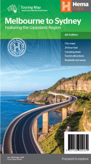
Landkaart Wegenkaart Melbourne tot Sydney - Hema Maps • 9321438002239
Wegenkaart Melbourne tot Sydney - Hema Productomschrijving: A city to city map that stretches from Melbourne to Sydney (1:900,000) that is accompanied by throughroad maps of Sydney and Melbourne. There is comprehensive tourist information for the trip via the Hume and Princes highways, going from Melbourne to Wodonga, Albury to Yass and Yass to Sydney. Incl. The Gippsland Region! …
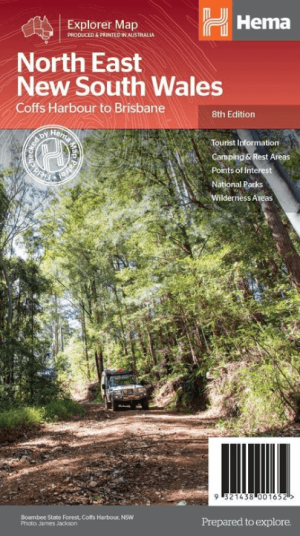
Landkaart Wegenkaart North East New South Wales - Hema Maps • 9321438001652
Wegenkaart North East, New South Wales - Hema Productomschrijving: A regional map of North East New South Wales (1:375,000) that is the perfect companion for touring through North East New South Wales (NSW). The map features information on the major touring routes through the region including the Summerland Way, Bruxner Highway, Waterfall Way and Gwydir Highway, as well as major tourist a…

Reisgids Sydney - Top 10 - DK Eyewitness • 9781409370499
DK Eyewitness - Sydney Omvat: The City Centre, Kings Cross and Darlinghurst, Paddington and Surry Hills, the Eastern suburbs, Newtown & Glebe. Productomschrijving: Maak een boottocht rond Sydney Harbour en bewonder het iconische Sydney Opera House, wandel door de weelderige Royal Botanic Gardens, verken het bruisende Chinatown en het levendige Darling Harbour of ga naar Bondi Beach voo…
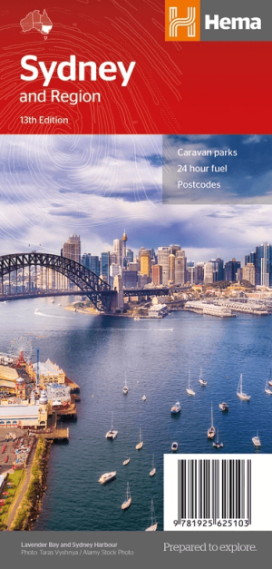

Stadskaart plattegrond Sydney NSW & omgeving - Hema Maps • 9781925625103
Stadskaart Perth & omgeving - Hema Productomschrijving: Sydney CBD, City & Suburbs Map A map that has the greater Sydney region (1:100,000) on one side and a lower scale overview map of the city and surrounding regions on the reverse. Also included are maps of the Sydney CBD, the city’s rail and ferry networks and a complete index. Sydney, is the capital of New South Wales and Aust…
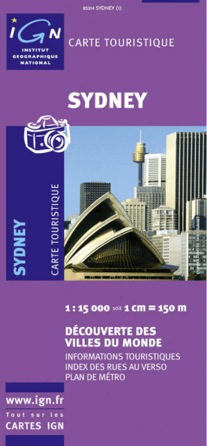
Landkaart Wegenkaart 85314 Sydney Australia - IGN • 9782758512370
Wegenkaart Sydney Australia - IGN Productomschrijving: Deze wegenkaart omvat het volledige Sydney op schaal 1:15.000 (1 cm = 150 m), hij bevat alle touristische wegen als ook Nationale parken. De kaart behoort tot de reeks van de Pays, Découverte du Monde van IGN