

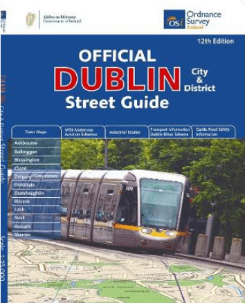
Stadsgids Dublin official city & district street guide - OSI
District Street Guide
Korte omschrijving
Dublin official city & district street guide - OSI Productomschrijving: Dublin City and District Street Guide features include schematic maps of all major motorway junctions, and enlarged c...

Specificaties
- Uitgever: Ordnance Survey Ireland
- ISBN-13: 9781908852847
- HOOFDCATEGORIEËN: Stadsgids / Cityguide, Stadskaart plattegrond, Wegenatlas
- Activiteiten: Road atlases & maps, Street/Road maps & city plans
- Regio: Dublin, Ierland
- Land: Ierland
- Schaal: 1:210000
- Editie: 12
- Taal: Engels
- Reeks/Serie: Wegenatlassen
Volledige omschrijving
Dublin official city & district street guide - OSI
Productomschrijving: Dublin City and District Street Guide features include schematic maps of all major motorway junctions, and enlarged city centre map and 12 major town maps. Updated information and indexed lists of Hospitals, Embassies and Industrial Estates. Transport information for all main Bus and Rail routes.
- Enlarged city centre map
- Maps of Ashbourne, Balbriggan, Blessington, Clane, Delgany/Greystones, Donabate, Dunshaughlin, Kilcock, Lusk, Rush, Rafoath and Skerries
- Spiral-bound for ease of laying flat and quick navigation
- Schematic maps of all M50 motorway junctions
- Up-to-date and indexed information on hospitals, embassies and industrial estates
- Garda Road Safety Information
- Transport information for bus and rail routes and Dublin Bikes Scheme
Other Ordnance Survey Ireland maps of Dublin include Medieval Dublin, Dublin City Centre Tourist Map and Dublin Commuter Map.
Locatie op kaart
Artikelen uit dezelfde regio

Reisgids Time to Momo Dublin - Mo'Media • 9789493338555
Reisgids Dublin - Mo'Media Productomschrijving: Dublin is uiterst compact en altijd gezellig druk. Laat je overrompelen door de diversiteit van de wijken, van creatief en knus, historisch en imposant tot modern en ruimtelijk. Struin door het pubrijke Temple Bar met zijn leuke keienstraatjes, ontdek bezienswaardigheden als Trinity College, duizel bij The Millennium Spire of waai uit aan de…

Wandelkaart 50 County Dublin & Counties Kildare, Meath & Wicklow - OSI • 9781912140336
Wandelkaart Dublin & Counties Kildare, Meath & Wicklow - OSI Productomschrijving: Ontdek Ierland met de Discovery Series Wandelkaarten van Ordnance Survey Ireland. Omvat: Dublin zelf, & de Counties: Kildare, Meath & Wicklow De Discovery Series wandelkaarten van Ordnance Survey Ireland (OSi) zijn dé keuze voor wandelaars, fietsers en avonturiers die Ierland echt willen verkennen. D…
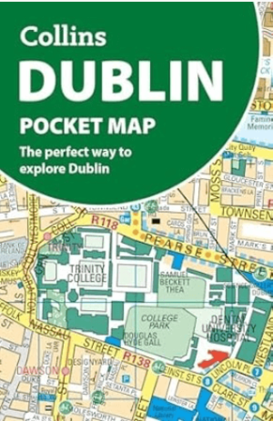
Stadsplattegrond Dublin pocket map - Harper Collins • 9780008716547
Stadskaart Dublin pocket map - Harper Collins Productomschrijving: Handy little full color Collins map of central Dublin with a high level of detail. Map at a scale of 1:7,800 (8 inches to 1 mile). Clear, detailed, full color Collins mapping is presented in a handy format ideal for the pocket or handbag. It is excellent value and covers the most visited area of central Dublin. It is an es…
Guide Routard Dublin & environs 2026-27 - Le Routard • 9782017356943
Reisgids Dublin et ses environs 2026/27 - Le Routard Productomschrijving: Dublin fait partie des capitales européennes qu'il faut avoir vues : la richesse de ses musées et sa vie nocturne trépidante font d'elle un endroit où l'on ne s'ennuie jamais. Cette ville étudiante à dimension humaine est attachante, on s'y fait vite des amis. Dans Le Routard Dublin, mis à jour par nos spécialist…

Wandelkaart 56 County Wicklow, Kildare & Dublin - OSI • 9781912140343
Wandelkaart County Wicklow, Kildare & Dublin - OSI Productomschrijving: Ontdek Ierland met de Discovery Series Wandelkaarten van Ordnance Survey Ireland. Omvat: de Counties Wicklow, Kildare & Dublin De Discovery Series wandelkaarten van Ordnance Survey Ireland (OSi) zijn dé keuze voor wandelaars, fietsers en avonturiers die Ierland echt willen verkennen. Deze hoogwaardige topograf…