

Reisgids Great Britain - Groot Brittannië - Lonely Planet
London- Canterbury- Southeast England- Oxford- Cotswolds


Korte omschrijving
Reisgidsen Engeland, Wales, Schotland en Noord Ierland van Lonely Planet Publications. Ideaal voor tochten in United Kingdom, Great Britain, England, Wales, Schotland en Noord Ierland.
Travelguide Great Britain - Lonely Planet Productomschrijving: Buckingham Palace, Stonehenge, Manchester United, The Beatles – Britain does icons like nowhere else, and travel here is a fas...

Specificaties
- Uitgever: Lonely Planet Publications
- ISBN-13: 9781837583515
- HOOFDCATEGORIEËN: Reisgids
- Regio: Engeland, Noord Ierland, Schotland, Wales
- Land: England, Noord Ierland, Schotland, United Kingdom, Great Britain, Wales
- Editie: 16
- Taal: Engels
Volledige omschrijving
Travelguide Great Britain - Lonely Planet
Productomschrijving: Buckingham Palace, Stonehenge, Manchester United, The Beatles – Britain does icons like nowhere else, and travel here is a fascinating mix of famous names and hidden gems.
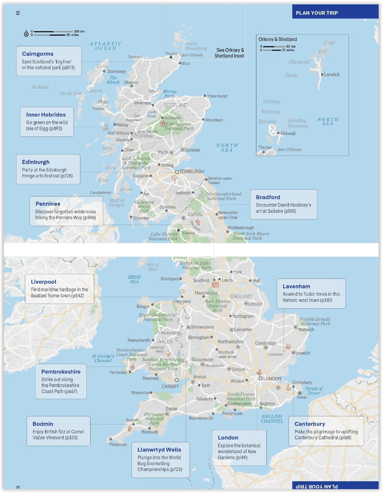
Covers: Planning chapters, London, Canterbury, Southeast England, Oxford, Cotswolds, Southwest England, Cambridge, East Anglia, Birmingham, the Midlands, the Marches, Yorkshire, Manchester, Liverpool, Northwest England, The Lake District, Cumbria, Newcastle, Northeast England, Cardiff (Caerdydd), Pembrokeshire, South Wales, Hay-on-Wye, Mid-Wales, Snowdonia, North Wales, Edinburgh, Glasgow, Southern Scotland, Stirling, Central Scotland, Inverness, Northern Highlands & Islands, Understand and Survival chapters.
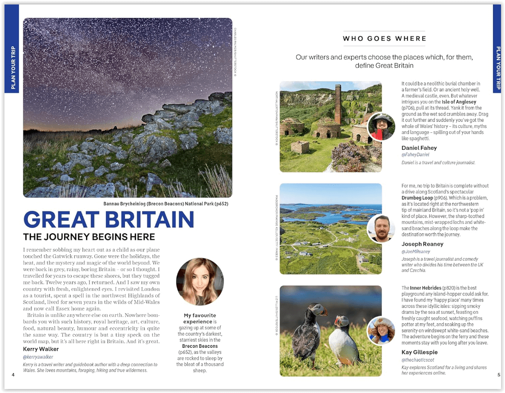
Lonely Planet will get you to the heart of Great Britain, with amazing travel experiences and the best planning advice:
- inspirational images, 3D illustrations, city walks and recommendations from our expert au-thors
- planning features and top itineraries to help you plan the perfect trip
- local secrets and hidden travel gems that will make your trip unique
- plus features on the Great Outdoors, Literary Britain, the Lake District and Gourmet Great Britain
Artikelen uit dezelfde regio

Reisgids Great Britain - DK Eyewitness • 9780241408292
Reisgids Great Britain - DK Eyewitness Productomschrijving: Visit Stonehenge's mysterious monoliths, take the sea air in buzzing Brighton or come face to face with the Vikings in York: everything you need to know is clearly laid out within colour-coded chapters. Discover the best of Great Britain with this indispensable travel guide. Inside DK Eyewitness Travel Guide Great Britain: -…

Fietsgids Big Rides- Great Britain & Ireland - Vertebrate Publ. • 9781839810725
Big Rides- Great Britain & Ireland - Vertebrate Productomschrijving: 25 of the best long-distance road cycling, gravel and mountain biking routes Big Rides: Great Britain & Ireland features twenty-five long-distance cycling trails in England, Scotland, Wales, Northern Ireland and Ireland, and includes a general overview of the trails, specific technical information, overview mapping, …

Reisgids Great Britain - Rough Guides • 9781835290415
Great Britain reisgids - Rough Guides Productomschrijving: Full-colour throughout, The Rough Guide to Britain is the ultimate guide to Rough Guides’ home patch. With 30 years experience and our trademark ‘tell it like it is’ writing style, Rough Guides cover all the basics with practical, on-the-ground details, as well as unmissable alternatives to the usual must-see sights. At the top of …
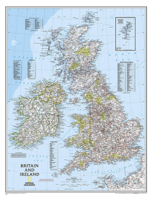
Plano Wandkaart Groot-Brittannië & Ierland 60 x 76 cm - Nat Geo • 9780792250234
Wandkaart Groot-Brittannië & Ierland 60 x 76 cm - Nat Geo Productomschrijving: National Geographic's Classic political map of Britain and Ireland is both an attractive addition to any study or classroom and an informative tool for exploring these fascinating countries. The map features thousands of place names, major highways and roads, airports, ferry routes, bodies of water, and more. Ha…

Plano Adm. Wandkaart Groot-Brittannië 84 x 119 - Lovell Johns • 9781904892687
Wandkaart Groot-Brittannië 84 x 119 - Lovell Johns Productomschrijving: Toont provincies en unitaire autoriteiten in verschillende kleuren. Arrondissementen en districten worden ook op deze kaart getoond, evenals dorpen en steden. Bevat een kleine postcodekaart van Groot-Brittannië met postcodes, evenals bevolkingsgegevens. Deze administratieve kaart van Verenigd Koninkrijk is ideaal v…