

Reisgids Culture Smart Oman Middle East - Kuperard
The practical guide to Omani culture and society

Korte omschrijving
Reisgids Oman - Kuperard Productomschrijving: The essentiel guide to customs & culture. Culture smart Oman an illuminating and practical guide to Omani culture and society. It will help you ...
Specificaties
- Uitgever: Kuperard
- ISBN-13: 9781787023512
- HOOFDCATEGORIEËN: Reisgids
- Activiteiten: Toerisme
- Auteur: Nicole Brewer
- Regio: Midden-Oosten, United Arab Emirates
- Land: Oman
- Editie: 2
- Taal: Engels
Volledige omschrijving
Reisgids Oman - Kuperard
Productomschrijving: The essentiel guide to customs & culture. Culture smart Oman an illuminating and practical guide to Omani culture and society. It will help you turn your visit - whether it's for business or for pleasure - into a memorable and enriching experience.
Contents include:
- local customs and traditions
- the impact of history, religion and politics
- the Omanis at home, work and play
- eating and drinking, Omani style
- do's, don'ts and taboos
- business practices
- communication, spoken and unspoken
and many practical tips for managing the unexpected.
Artikelen uit dezelfde regio

Reisgids Culture Smart Saudi Arabia - Kuperard • 9781787023543
Reisgids Saudi Arabia - Kuperard Productomschrijving: The essentiel guide to customs & culture. Culture smart Saudi Arabia is an illuminating and practical guide to Saudi Arabia's culture and society. It will help you turn your visit - whether it's for business or for pleasure - into a memorable and enriching experience. Contents include: - local customs and traditions - the impac…
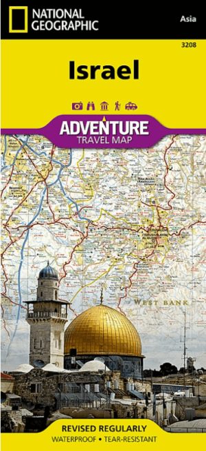
Landkaart Wegenkaart 3208 Israel - Nat Geo • 9781566956178
Wegenkaart Israel - Nat Geo Productomschrijving: National Geographic's Israel Adventure Map is the perfect travel companion for Holy Land adventure travelers. This expertly researched map details the country with unparalleled information not found in traditional road maps. Hundreds of diverse and unique recreational, ecological, cultural, and historic destinations are pinpointed, includin…
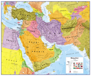
Plano Politieke Wandkaart Midden-Oosten 120 x 100 - Lovell Johns • 9781910378120
Wandkaart Midden-Oosten 120 x 100 - Lovell Johns Productomschrijving: Deze politieke kaart van het Midden-Oosten geeft een overzicht van continent.. Elk land heeft een andere kleur waardoor het eenvoudig is om internationale grenzen te zien. In de legende onderaan de kaart staan de vlaggen van elk land. Deze politieke kaart van het Midden-Oosten bevat ook informatie over de bevolking, …
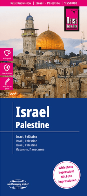
Landkaart Wegenkaart Israël & Palestina - Reise Know-How • 9783831772681
Wegenkaart Israël & Palestina - Reise Know-How Productomschrijving: Reis Know-How-kaarten (wereldkaart-projectreeks) zijn gemakkelijk te lezen, waterdichte en zeer duurzame reiskaarten die speciaal zijn ontworpen voor dagelijks gebruik op de weg. Onze kaarten combineren state-of-the-art, GPS-compatibele cartografie (inclusief hypsometrische tinten en contourlijnen) met een gedetailleerde …

Reisgids Iran - Lonely Planet • 9781786575418
Reisgids Iran - Lonely Planet Productomschrijving: Welcome to what could be the friendliest country on earth. Iran is the jewel in Islam’s crown, combining glorious architecture with a warm-hearted welcome. Lonely Planet will get you to the heart of Iran, with amazing travel experiences and the best planning advice. Lonely Planet Iran is your passport to the most relevant, up-to-date a…