
Politiek & Antieke Wandkaart GROOT USA 178 x 122 cm - Nat Geo
Geplastificeerd


Korte omschrijving
Plano Politiek & Antieke Wandkaart USA - Nat Geo Productomschrijving: National Geographic's Executive reference map of the United States features all 50 States with insets for Alaska and Haw...

Specificaties
- Uitgever: National Geographic
- ISBN-13: 9780792233794
- HOOFDCATEGORIEËN: Wandkaarten Planokaart/opgerold
- Activiteiten: Plano Antiek & Politieke Wandkaart
- Regio: Verenigde staten van Amerika
- Land: Verenigde Staten van Amerika (USA)
- Waterafstotende kaart: National Geographic, Geplastificeerd
- Schaal: 1:2815000
- Taal: Engels
- Reeks/Serie: Planokaart/opgerold
- Wandkaarten & Planokaarten: Wandkaarten & Planokaarten
Volledige omschrijving
Plano Politiek & Antieke Wandkaart USA - Nat Geo
Productomschrijving: National Geographic's Executive reference map of the United States features all 50 States with insets for Alaska and Hawaii in antique-executive cartographic style. Each state is colored to clearly define borders and shaded relief accentuates geographical features. All major cities, transportation routes, state boundaries, National Parks, lakes and rivers, and mountain ranges are clearly displayed and labeled.
Enlarged maps provide an immersive experience in any home or office environment. The exceptional cartography is even easier to appreciate at the larger size.
Afmeting: 178 x 122 cm GROOT
Gekoppelde artikelen

Plano Politiek & Antieke Wandkaart USA 91 x 61 cm - Nat Geo • 9781597752213
weatherproof versieWandkaart USA 91 x 61 cm - Nat Geo Productomschrijving: National Geographic's Executive reference map of the United States features all 50 States with insets for Alaska and Hawaii in antique-executive cartographic style. Each state is colored to clearly define borders and shaded relief accentuates geographical features. All major cities, transportation routes, state boundaries, National Pa…
Artikelen uit dezelfde regio

Plano Politieke Wandkaart USA 91 x 61 cm - Nat Geo • 9781597752183
Wandkaart USA 91 x 61 cm - Nat Geo Productomschrijving: The signature Classic style United States map uses a bright, easy to read color palette featuring blue oceans and stunning shaded relief that has been featured on National Geographic wall maps for over 75 years. All 50 States are featured including insets for Alaska and the Hawaiian Islands. An inset demonstrating the relative size of…
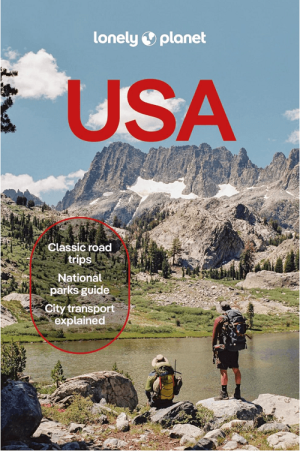
Reisgids USA - Lonely Planet • 9781837587230
Reisgids USA - Lonely Planet Productomschrijving: Gaze into the mile-deep chasm of the Grand Canyon, hang 10 on an iconic Hawaiian wave, or let sultry southern music and food stir your soul; all with your trusted travel companion. Get to the heart of the USA and begin your journey now! Inside Lonely Planet USA Travel Guide: - Colour maps and images throughout Highlights and itinera…
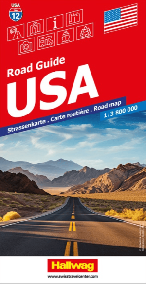
Wegenkaart Road Map 12 USA (Complete) - Hallwag • 9783828310872
Wegenkaart Road Map USA (Complete) - Hallwag Productomschrijving: Op zoek naar betrouwbare Hallwag wegenkaarten van het Noord Amerikaanse Continent? Deze klassieke road maps staan bekend om hun duidelijke cartografie, praktische indeling en heldere weergave van wegen en verbindingen. Voor autoritten, vakanties, camperreizen en lange roadtrips bieden Hallwag wegenkaarten het overzicht dat j…

Reigids Southwestern USA - Lonely Planet • 9781837583799
Reigids Southwest USA - Lonely Planet Productomschrijving: The Southwest is America’s untamed playground, luring adventurous travelers with thrilling red-rock landscapes, the legends of shoot-’em-up cowboys, and the kicky delights of green-chile stew. Lonely Planet will get you to the heart of Southwest USA, with amazing travel experiences and the best planning advice. - Colour maps an…

Landkaart Planing map USA - Lonely Planet • 9781787017887
Planning map USA - Lonely Planet Productomschrijving: Durable and waterproof, with a handy slipcase and an easy-fold format, Lonely Planet USA Planning Map is your conveniently-sized passport to traveling with ease. Get more from your map and your trip with images and information about top country attractions, itinerary suggestions, a transport guide, planning information, themed lists and…