

Plano Antieke Wandkaart Engeland & Wales 76 x 91 cm - Nat Geo
Geplastificeerd


Korte omschrijving
Wandkaart Engeland & Wales 76 x 91 cm - Nat Geo Productomschrijving: England and Wales (Cymru) are presented in exceptional detail in National Geographic's Executive style wall map. As attra...

Specificaties
- Uitgever: National Geographic
- ISBN-13: 9781597754910
- HOOFDCATEGORIEËN: Wandkaarten Planokaart/opgerold
- Activiteiten: Plano Antiek & Politieke Wandkaart, Plano politieke Wandkaart, Wandkaarten
- Regio: Engeland, Wales
- Land: United Kingdom, Great Britain
- Waterafstotende kaart: National Geographic, Geplastificeerd
- Schaal: 1:868000
- Taal: Engels
- Reeks/Serie: Planokaart/opgerold
- Wandkaarten & Planokaarten: Wandkaarten & Planokaarten
Volledige omschrijving
Wandkaart Engeland & Wales 76 x 91 cm - Nat Geo
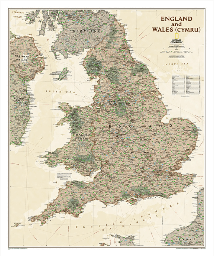
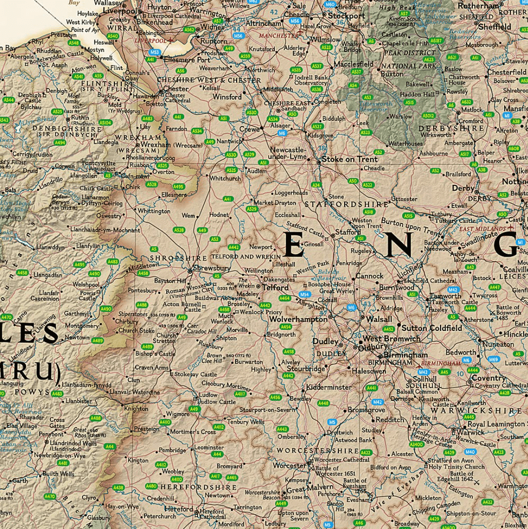
Productomschrijving: England and Wales (Cymru) are presented in exceptional detail in National Geographic's Executive style wall map. As attractive as it is functional, this map features an antique color palette, stunning shaded relief, and a subtle background grid pattern that echoes the cartographic precision that underlies all National Geographic maps. This map includes thousands of place names—including Welsh and Manx names—transportation networks, and administrative divisions. National Parks, historical sites, roads, motorways, airports, canals, oil pipelines, and passenger and high-speed railroads are shown.
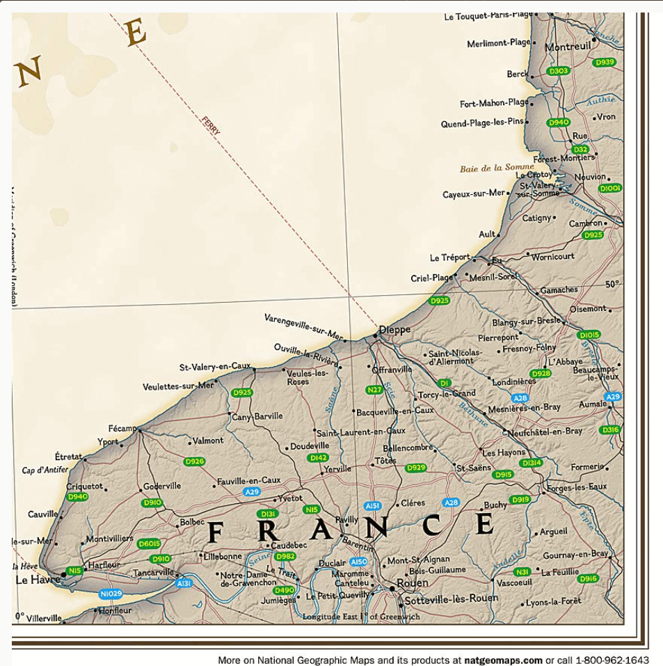
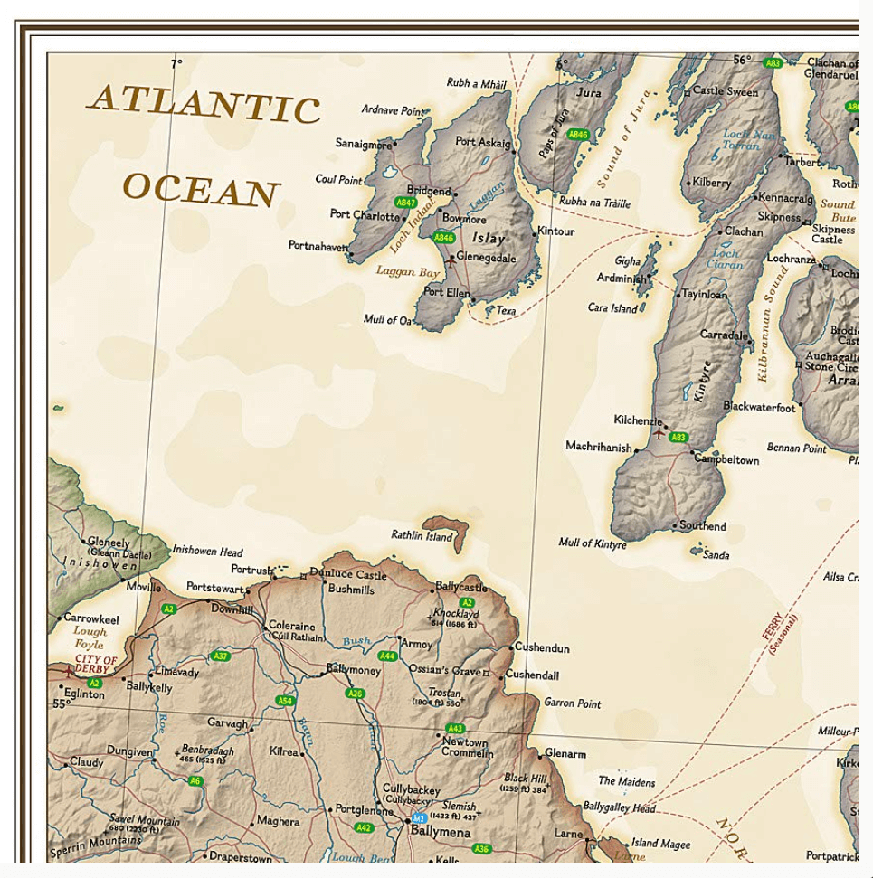
In addition to England and Wales (Cymru), coverage includes portions of Scotland, Northern Ireland, Ireland, and France.
Afmeting: 76 x 91 cm
Artikelen uit dezelfde regio

Klimgids Ridges of England- Wales & Ireland - Cicerone • 9781852845391
Klimgids - Ridges of England- Wales & Ireland - Cicerone Productomschrijving: Een gids voor zomerscrambles, technische rockroutes en winterbeklimmingen op ruggen in het Lake District, Snowdonia, Peak District, Exmoor, het eiland Wight, Kerry en Connemara, die betrekking hebben op populaire klassiekers en duistere edelstenen, van scherpe rand naar skelet Ridges. Deze handleiding is met grot…

Landkaart Wegenkaart Engeland & Wales UK - Freytag & Berndt • 9783707924077
Wegenkaart Engeland & Wales UK - Freytag & Berndt Productomschrijving: Deze recto/verso gedetailleerde landkaart van Engeland en Wales is zeer geschikt voor het plannen en voor het rondtrekken door het land. Het wegennetwerk is goed weergeven, zowel de hoofdwegen, de provinciale en lokale wegen. Tevens worden wegnummers duidelijk vermeld. Afstanden tussen plaatsen zijn in kilometers op de…
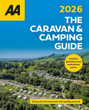
Campinggids Caravan & Camping Guide Britain 2026 - AA Publ. • 9780749584474
Caravan & Camping Guide Britain 2026 - AA Productomschrijving: De AA Caravan & Camping Guide 2026 bundelt meer dan 550 gecontroleerde kampeerterreinen verspreid over het Verenigd Koninkrijk. De gids richt zich op reizigers met een tent, caravan of camper, maar neemt ook glampinglocaties en vakantieparken op. Elk terrein werd bezocht en beoordeeld door professionele inspecteurs van de AA. …
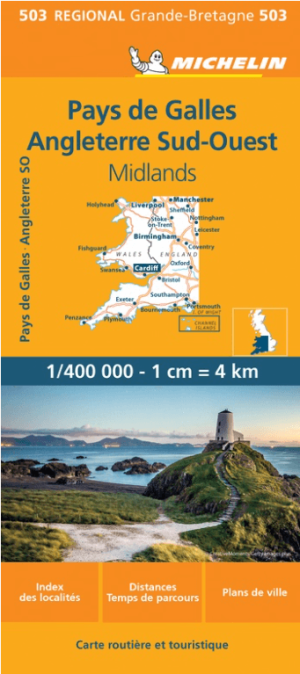
Landkaart Wegenkaart 503 Wales, Midlands & Engeland ZW - Michelin • 9782067183285
Regionale Wegenkaart Wales, Midlands & Engeland ZW - Michelin Productomschrijving: De volledig bijgewerkte MICHELIN kaart van Engeland Zuidwest Wales biedt u alle weg- en toeristische informatie die u nodig heeft om het meeste uit uw reis te halen: een INDEX VAN LOCATIES en een TABEL VAN AFSTANDEN en REISTIJDEN. De schaal van 1:400.000, d.w.z. 1 cm = 4 km, maakt het gemakkelijk om zowel d…

Fietsgids Wales Mountain Biking - Vertebrate Publ. • 9781906148133
Wales Mountain Biking - Vertebrate Productomschrijving: Wales Mountain Biking – Beicio Mynydd Cymru by Tom Hutton showcases 20 of the best mountain bike rides in Wales, between 12km and 50km in length, suitable for all levels of mountain bikers. It features three sections: South Wales, Mid Wales and North Wales. Each route is described with easy-to-follow directions and includes OS 1:50,00…