

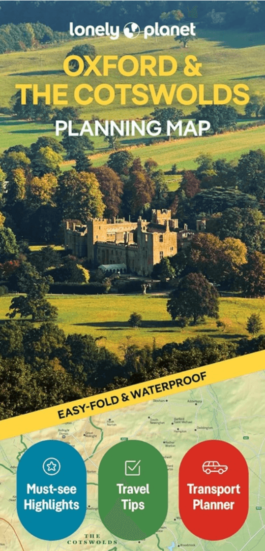
Landkaart Wegenkaart Planning map Oxford & The Cotswolds
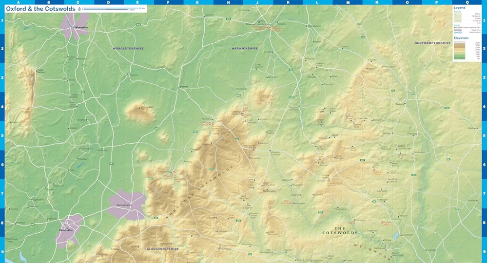
Oxford & the Cotswolds AONB (Area of Outstanding Natural Beauty)
Korte omschrijving
Wegenkaart Planning map Oxford & The Cotswolds Productomschrijving: From Lonely Planet, the world's leading travel guide publisher Durable and waterproof, with a handy slipcase and an easy-f...

Specificaties
- Uitgever: Lonely Planet Publications
- ISBN-13: 9781788688499
- HOOFDCATEGORIEËN: Wegenkaart - Landkaart
- Activiteiten: Street/Road maps & city plans
- Regio: Oxfordshire west England, West England
- Land: England
- AONB - Area of Outstanding Beauty/National Landscape: Cotswolds AONB
- Editie: 2
- Taal: Engels
- Reeks/Serie: Lonely Planet Planning maps
- De Engelse Graafschappen: Oxfordshire
Volledige omschrijving
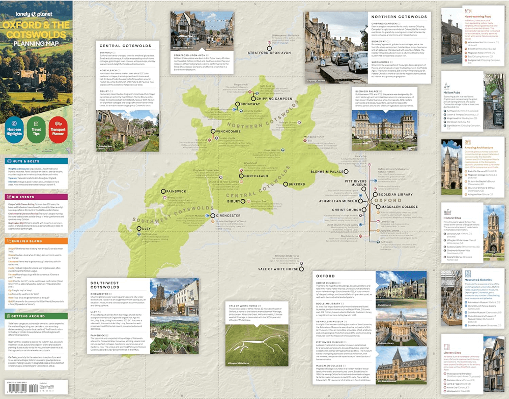
Wegenkaart Planning map Oxford & The Cotswolds
Productomschrijving: From Lonely Planet, the world's leading travel guide publisher Durable and waterproof, with a handy slipcase and an easy-fold format, Lonely Planet's Oxford & the Cotswolds Planning Map helps you get around with ease. Get more from your map and your trip with images and information about top attractions.
- Durable and waterproof
- Easy-fold format and convenient size
- Handy slipcase
- Full color and easy to use
- Before-you-go info
- Beautiful imagery
- Tailored itineraries
- Can't-miss regional highlights
- Detailed town index
- Transport planner
- Themed lists
Covers: Oxford, the Cotswolds AONB (Area of Outstanding Natural Beauty)
Artikelen uit dezelfde regio

Landkaart Wegenkaart 02 Engeland, Centraal Zuid - AA Road Maps • 9780749584658
Wegenkaart Engeland, Centraal Zuid - AA Road Maps Productomschrijving: AA Road Map Central Southern England is a practical and slimline, foldable map from the experts at the AA. Encased in a durable, weatherproof cover, the mapping is produced at a scale of 3 miles to 1 inch (1:200,000 / 2km to 1cm) combining clear design, an easy-to-read scale and more road detail to ensure that you never…

Wandelgids Cotswolds AONB 50 walks guide - AA Publishing • 9780749583224
Cotswolds AONB - 50 walks guide - AA Publishing Productomschrijving: Wandelen is een van de favoriete vrijetijdsbestedingen van Groot-Brittannië. AA 50 Walks in the Cotswolds bevat een verscheidenheid aan uitgestippelde wandelingen van 3 tot 12 km, geschikt voor alle niveaus. Het boek bevat alle praktische details die u nodig hebt, vergezeld van boeiende achtergrondinformatie over de gesch…

Cotswolds Mountain Biking - Vertebrate Publ. • 9781906148140
Cotswolds AONB Mountain Biking - Vertebrate Productomschrijving: 20 Classic Rides - Cotwolds Mountain Biking by Tom Fenton features 20 classic MTB routes in the Cotswold Hills across the counties of Gloucestershire and Oxfordshire, and extending into parts of Wiltshire, Somerset, Worcestershire and Warwickshire. With Ordnance Survey mapping and easy-to-follow directions. The Cotswold H…

Wandelgids The Severn way - Cicerone • 9781786311405
Wandelgids The Severn way - Cicerone Productomschrijving: De Severn Way is een wandeling van 210 mijl (338 km) door de grenzen van Wales. Deze gids begint bij de bron van de rivier de Severn in Powys, midden-Wales, en geeft alle informatie die nodig is om de route met plezier te lopen. De Severn Way slingert door prachtige landschappen, interessante steden en dorpen voordat hij eindigt in …

Wandelkaart 170 Abingdon- Wantage & Vale - OSI • 9780319470428
Wandelkaart Abingdon- Wantage & Vale - Oxfordshire England Omvat ook: Wallingford & Faringdon. Productbeschrijving: Kaart nummer 170 in de OS Explorer kaarten reeks heeft betrekking op The Vale of the White Horse, en het paard zelf in Uffington, North Wessex Downs AONB, een verzameling van grote Westenlijke bossen en een klein deel van de Chiltern Hills AONB. Ook zijn de nederzettingen…