

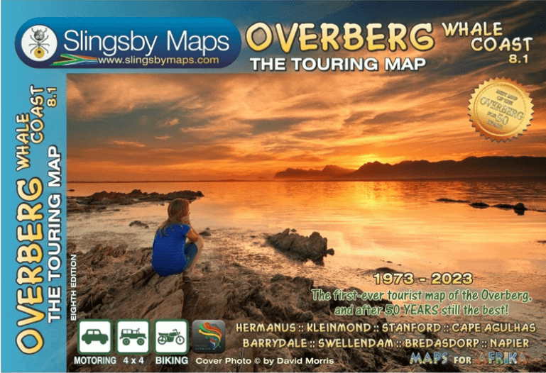
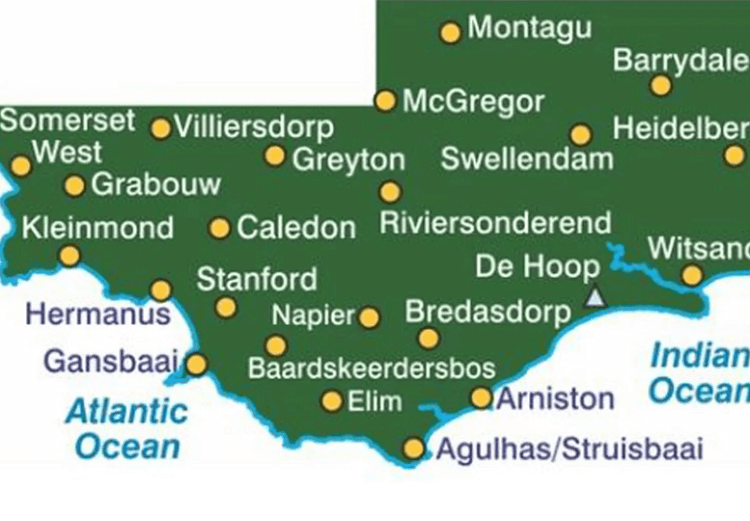
Landkaart Wegenkaart Overberg Whale Coast - Slingsby Maps
Sir Lowry’s Pass - Farmsteads - Swellendam - McGregor

Korte omschrijving
Wegenkaart Overberg Whale Coast - Slingsby Maps Productomschrijving: Overberg Whale Coast, West-kaap Zuid Afrika The Overberg is one of the premier tourist regions of South Africa. Here...

Specificaties
- Uitgever: Tracks4Africa
- ISBN-13: 9781920377533
- HOOFDCATEGORIEËN: Wegenkaart - Landkaart
- Activiteiten: Street/Road maps & city plans
- Regio: West-Kaap, Afrika, Zuid Afrika
- Land: Zuid-Afrika
- Schaal: 1:250000
- Editie: 8
- Taal: Engels
Volledige omschrijving
Wegenkaart Overberg Whale Coast - Slingsby Maps
Productomschrijving: Overberg Whale Coast, West-kaap Zuid Afrika
The Overberg is one of the premier tourist regions of South Africa. Here the Cape Fold Mountains march eastward from Sir Lowry’s Pass, a rugged backdrop to this old Cape landscape of farmsteads, gravel passes and unspoiled views. Delightful towns await you – historic Swellendam, McGregor and the wine farms of the Bonnievale valley, Hermanus and the fishing villages beyond. Missions, beaches littered with shipwreck sites, whales trolling the surf — all kinds of wonders await you!

Artikelen uit dezelfde regio
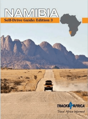
Accomodatiegids Reisgids Namibia Self-Drive Guide - Tracks4Afrika • 9781776322794
Accomodatiegids Namibia - Tracks4Afrika Productomschrijving: Our Edition 3 is finally here! Completely revised and updated! So, what is so special about the Tracks4Africa guide books? These are not guides written by armchair travellers or the personal experience of one person, but the combined experiences of a whole community of travellers. The T4A community travel far and wide – not …
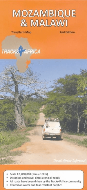
Landkaart Wegenkaart Mozambique & Malawi - Tracks4Afrika • 9781776322886
Wegenkaart Mozambique & Malawi Productomschrijving: Mozambique & Malawi tracks Kenmerkend voor deze kaart is de combinatie van geografische informatie en GPS verwijzingen, ideaal voor 4x4 routes. Verder bevat de kaart een plaatsnamenregister, aparte kaartjes van de Nationale parken en stadsplannen van de belangrijkste steden uit de regio. Deze kaart bied u het perfecte instrument…
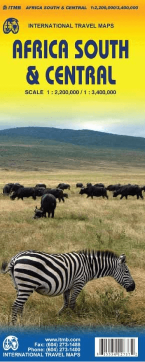
Landkaart Wegenkaart Afrika Zuid & Midden - ITMB • 9781553412731
Wegenkaart Afrika Zuid & Midden - ITMB Productomschrijving: Deze kaart dekt dat deel van het continent dat door oude Afrikaanse handen altijd 'centraal' wordt genoemd, oftewel Rhodesië en Nyasaland - nu bekend als Zambia, Malawi en Zimbabwe. By its shape, generous portions of the southern portions of DEM Congo, the eastern third of Angola, the northern half of Mozambique, and Botswana'…
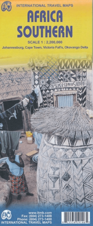
Landkaart Wegenkaart Zuidelijk Afrika - ITMB • 9781553419143
Wegenkaart Zuidelijk Afrika - ITMB Productomschrijving: Met extra kaarten van Johannesburg - Kaapstad - Victoria Falls - Okavango Delta This map is the updated version of our previous map, which was called Southern Africa, covering the southernmost portion of Africa. It is also the most developed part of the continent, with the densest road network and number of urban areas on the cont…
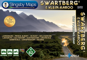
Landkaart Wegenkaart 4 Zuid-Afrika Swartberg & Klein-Karoo • 9781776322787
Wegenkaart Zuid-Afrika Swartberg & Klein-Karoo - Tracks4Afrika Productomschrijving: Swartberg & Klein-Karoo The Swartberg is the mightiest mountain range in the Western Cape, with peaks up to 2400 metres, fantastic ravines, gorges and poorts, amazing mountain passes, lost corners and a history as rich as its flora and fauna. The mountains frame the northern edge of the Klein-Karoo, th…