

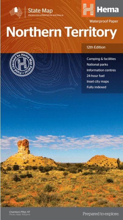
Landkaart Wegenkaart Northern Territory state map - Hema Maps
Aboriginal land - National parks
Korte omschrijving
Wegenkaart Northern Territory state map - Hema Productomschrijving: A touring map of the Northern Territory (NT) that features 24-hour fuel, camping areas and rest areas. Marked on the...

Specificaties
- Uitgever: Hema Maps
- ISBN-13: 9321438001508
- HOOFDCATEGORIEËN: Wegenkaart - Landkaart
- Activiteiten: Street/Road maps & city plans
- Regio: Northern Territory, Australië
- Land: Australië
- Schaal: 1:1800000
- Editie: 12
- Taal: Engels
- Reeks/Serie: State maps, Hema
- De Australische Regio's: Northern Territories
Volledige omschrijving
Wegenkaart Northern Territory state map - Hema
Productomschrijving: A touring map of the Northern Territory (NT) that features 24-hour fuel, camping areas and rest areas.
Marked on the map are highways, major roads and minor roads, national parks and Aboriginal land and various points of interest. The map is fully indexed, and includes a handy list of accredited visitor information centres.
Now on waterproof paper.

Artikelen uit dezelfde regio

Landkaart Wegenkaart Great Desert Tracks Simpson Desert - Hema • 9781922668073
Wegenkaart Great Desert Tracks Simpson Desert - Hema Productomschrijving: Great Desert Tracks Simpson Desert (9th edition) - discover the Simpson Desert with detailed mapping, relevant points of interest and essential touring information for the journey. Hema's Great Desert Tracks maps are essential for anyone travelling in the Australian outback. The mapping features roads and 4WD tr…

Landkaart Wegenkaart Australië Indigenous Journeys Map - Hema Map • 9781922668936
Wegenkaart Australië Indigenous Journeys Map - Hema Maps Productomschrijving: Australië Indigenous Journeys Map hema 1:5.5M Ontdek de zanglijnen van de oudste levende cultuur ter wereld Al meer dan 65.000 jaar bewandelen Aboriginals en Torres Strait Islanders - de traditionele eigenaars van Australië - het land, smeden handelsroutes, delen kennis en zorgen voor het land. De Indigenou…
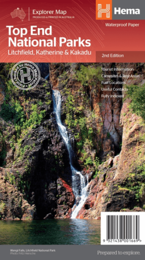
Landkaart Wegenkaart Explorer Map Top End National Parks - Hema • 9321438001669
Explorer Map Top End National Parks - Hema Productomschrijving: A regional map that features Litchfield National Park(1:160,000), Katherine Gorge and Kakadu (1:350,000) national parks. A Darwin region map is included (1:850,000) along with extensive tourist information for Darwin and the surrounding region, Arnhem Highway to Kakadu, Mary River, Stuart Highway to Katherine, Litchfield …

Landkaart Wegenkaart Australië Alice Springs - Nelles Verlag • 9783865746931
Wegenkaart Alice Springs, Perth, Sydney & Melbourne - Nelles Productomschrijving: Wegenkaart met reliëfschaduw, detailkaarten, stadsplattegronden, toeristische bezienswaardigheden en kilometeraanduidingen Omvat: Allice Springs Environs, Mt. Olga/Ayers Rock, Greater Perth, Greater Sydney, Greater Melbourne, Sunshine Coast/Gold Coast City maps: Central Perth, Central Sydney, Canberr…
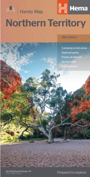
Landkaart Wegenkaart Northern Territory handy map - Hema • 9781925625684
Wegenkaart Northern Territory handy map - Hema Productomschrijving: A fully indexed map of the Northern Territory (NT) at a scale of 1:1,750,000. Marked on the map are national parks, camping areas, rest areas, caravan parks, points of interest and 24-hour fuel accompanied by a distance grid.