

Landkaart Wegenkaart Discovery Ierland touring map - OSI
A folded map covering the whole of the island of Ireland

Korte omschrijving
Wegenkaart Discovery Ierland touring map - OSI Productomschrijving: A folded map covering the whole of the island of Ireland published by Ordnance Survey Ireland. - Clear easy to read m...

Specificaties
- Uitgever: Ordnance Survey Ireland
- ISBN-13: 9781908852892
- HOOFDCATEGORIEËN: Wegenkaart - Landkaart
- Activiteiten: Street/Road maps & city plans
- Regio: Ierland, Ireland, Noord Ierland
- Land: Ierland
- Schaal: 1:450000
- Editie: 7
- Taal: Engels
Volledige omschrijving
Wegenkaart Discovery Ierland touring map - OSI
Productomschrijving: A folded map covering the whole of the island of Ireland published by Ordnance Survey Ireland.
- Clear easy to read mapping, with tourist information symbols for a variety of attractions
- Up to Date Road Network and includes a placename Index.
- Includes a Distance Chart in Kms.
- Distances in Kms marked across the map.
Artikelen uit dezelfde regio

Reisgids Experience Ireland - Lonely Planet • 9781838697549
Ireland Experience - Lonely Planet Productomschrijving: Lonely Planet’s Experience Ireland is your guide to unforgettable experiences and local surprises. Discover the ferociously fast sport of hurling, explore pristine beaches, and hike through unspoiled wilderness - all guided by local experts with fresh perspectives. Uncover Ireland’s best experiences and get away from the everyday! …

Guide Routard Irlande 2026-27 - Le Routard • 9782017338079
Reisgids Irlande - Le Routard Productomschrijving: Le Routard, le meilleur compagnon de voyage depuis 45 ans. Dans cette nouvelle édition du Routard Irlande vous trouverez une première partie en couleurs avec des cartes et des photos, pour découvrir plus facilement le pays et repérer nos coups de cœur ; des suggestions d’itinéraires et des informations pratiques pour organiser votre sé…
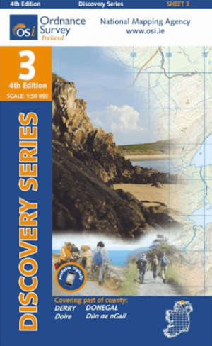
Wandelkaart 3 County Donegal North East & Derry - OSI Ireland • 9781912140008
Wandelkaart Donegal North East & Derry - OSI Ireland Productomschrijving: Ontdek Ierland met de Discovery Series Wandelkaarten van Ordnance Survey Ireland. De Discovery Series wandelkaarten van Ordnance Survey Ireland (OSi) zijn dé keuze voor wandelaars, fietsers en avonturiers die Ierland echt willen verkennen. Deze hoogwaardige topografische kaarten bieden een gedetailleerd en nauwke…

Stadsplattegrond Belfast pocket map - Harper Collins • 9780008716530
Stadskaart Belfast pocket map - Harper Collins Productomschrijving: Handy little full color Collins map of central Belfast with a high level of detail. Clear mapping from Cliftonville in the north to Botanics in the south, and Shankill in the west to City Airport in the east. Map at a scale of 1:10,000 (6 inches to 1 mile). Clear, detailed, full color Collins mapping is presented in a han…
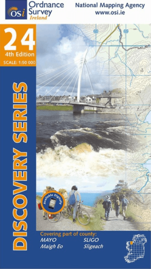
Wandelkaart 24 County Mayo & Sligo Discovey Series - OSI Ireland • 9781912140121
Wandelkaart County Mayo & Sligo - OSI Productomschrijving: Ontdek Ierland met de Discovery Series Wandelkaarten van Ordnance Survey Ireland De Discovery Series wandelkaarten van Ordnance Survey Ireland (OSi) zijn dé keuze voor wandelaars, fietsers en avonturiers die Ierland echt willen verkennen. Deze hoogwaardige topografische kaarten bieden een gedetailleerd en nauwkeurig overzicht v…