

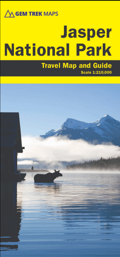
Landkaart Wegenkaart D60 Jasper National Park - Gem Trek
Jasper National Park in the Canadian Rockies
Korte omschrijving
Wegenkaart Jasper National Park - Gem Trek Productomschrijving: Waterproof and tear-resistant map for Jasper National Park in the Canadian Rockies. Whether you are a first-time visitor ...

Specificaties
- Uitgever: Gem Trek Publishing
- ISBN-13: 9781990161100
- HOOFDCATEGORIEËN: Wegenkaart - Landkaart
- Activiteiten: Street/Road maps & city plans
- Regio: Alberta, Canada
- Land: Canada
- TOPO's & Stafkaarten: Topografisch wandelen
- Schaal: 1:210000
- Editie: 2
- Taal: Engels
- Reeks/Serie: Gem Trek, Driving maps
Volledige omschrijving
Wegenkaart Jasper National Park - Gem Trek
Productomschrijving: Waterproof and tear-resistant map for Jasper National Park in the Canadian Rockies.
Whether you are a first-time visitor or a long-time local, you’ll find Gem Trek’s Jasper National Park Map to be an invaluable tool. Researched and designed by locals, and printed in Canada, this map features accurate cartography and subtly colored relief that puts the mountainous region in perspective. The map is printed on high-quality synthetic waterproof paper that can be folded and refolded hundreds of times.
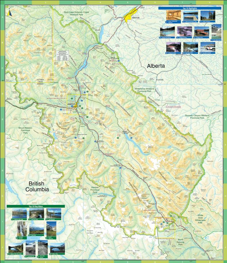
The 1:250,000 scale is ideal for discovering the very best of Jasper National Park. Highlights and our recommended hiking trails are marked by numbered stars, then cross-referenced on the reverse side with descriptions. Also included are all mountains and their elevations, along with natural features such as waterfalls, hot springs, and glaciers.
In addition to descriptions for the top highlights and most popular hiking trails, the reverse side has inset maps for the town of Jasper and the Columbia Icefield. There are also descriptions of the park’s geology, history, wildlife, and eco-regions. Practical information on outdoor activities, weather, campgrounds, lodging, and transportation allows map users to plan their trip accordingly.
– Map scale: 1:250,000
– Sheet size: 27 x 39 inches
– Folded size: 4.5 x 9.5 inches
Map Coverage
The Jasper National Park Map covers all of Jasper National Park in the Canadian Rockies. Coverage extends from Willmore Wilderness Park in the north to Banff National Park in the south. It also includes sections of Mount Robson Provincial Park and Hamber Provincial Park, which are all on the western side of the Continental Divide in British Columbia. Eastern coverage extends to the Coal Branch and Hinton.
Map Features
The Jasper National Park Map features:
- waterproof and tear-resistant paper
- relief shading to better show the topography
- full colour on both sides
- hydrology rivers, rapids and waterfalls
- mountain names and all available mountain elevations
- all campgrounds with a handy chart showing campground details
- points of interest and attractions as well as day use areas and highway viewpoints

Artikelen uit dezelfde regio

Wandelkaart Canmore Up-Close Alberta Canada - Gem Trek Publ. • 9781990161209
Wandelkaart Canmore Up-Close - Gem Trek Publ. Productomschrijving: Gem Trek’s 1:35,000 Canmore Up-Close Map is a detailed relief-shaded topographic map of Canmore and the Bow Valley area. This edition has been updated to show all new subdivisions and recent changes to the trail network. On the back of the Canmore Up-Close Map are descriptions of recommended sights and detailed descrip…

Reisgids Banff- Jasper & Glacier NP - Lonely Planet • 9781786575920
Banff- Jasper & Glacier NP - Lonely Planet Covers: Banff National Park, Jasper National Park, Glacier National Park, Lake Louise, Lake Minnewanka, Bow Valley, Backcountry, Kananaskis Country, Lake O’Hara, Jasper Town, Blackfeet Indian Reservation and more. Product description: Lonely Planet Banff, Jasper & Glacier National Parks is your passport to the most relevant, up-to-date advice …
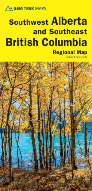
Wandelkaart Southwest Alberta & Southeast British Columbia - GT • 9781990161216
Southwest Alberta & Southeast British Columbia - Gem trek Productomschrijving: Gem Trek’s Southwest Alberta and Southeast British Columbia Map is designed for visitors looking to explore the regions east and west of the Canadian Rockies, including the Kootenays of British Columbia, the Alberta foothills (Kananaskis), and west-central Alberta. All the major highways are shown, as well as n…

Wandelkaart 901 Banff North - Banff and Yoho NP - Nat Geo • 9781566956598
TOPO Wandelkaart 901 - Banff North - Banff and Yoho NP - Natgeo Productomschrijving: Deze topografische wandelkaart van 2 van Canada's mooiste nationale parken heeft heel wat in petto. De kaart is meer dan voldoende voor deze 2 zeer grote weliswaar wilde plaatsen. Wat er ook te vinden valt is bijvoorbeeld het beeldschone Lake Louis, die te vinden is langs de grote en enige autoroute door d…
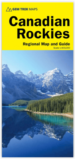
Wandelkaart Canadian Rockies - Gem Trek • 9781895526929
Wandelkaart Canadian Rockies - Gem Trek Productomschrijving: De Canadian Rockies Map is onze populairste kaart, en een must-have voor iedereen die een reis plant naar de Banff, Jasper, Yoho of Kootenay National Parks. Om het bekijken van de bezienswaardigheden te vergemakkelijken, zijn 29 van de beste bezienswaardigheden in de parken genummerd en beschreven. Om u te helpen uw weg te vi…