

Landkaart Wegenkaart Afrika - ITMB
Incl. Cape Verde, Canaries, Madeira, Madagascar, Socotra, Comoros


Korte omschrijving
Wegen- & stadskaarten Afrika van ITMB Publishing Ltd. Ideaal voor tochten in Afrika.
Wegenkaart Afrika - ITMB Productomschrijving: This proper digital data base map of Africa covers the entire continent from top to bottom and east to west. All of Africa is portrayed, includi...

Specificaties
- Uitgever: ITMB Publishing Ltd
- ISBN-13: 9781771290173
- HOOFDCATEGORIEËN: Wegenkaart - Landkaart
- Activiteiten: Street/Road maps & city plans
- Regio: Afrika
- Land: Afrika
- Schaal: 1:4800000
- Editie: 3
- Taal: Engels
- Reeks/Serie: International travel Maps
Volledige omschrijving
Wegenkaart Afrika - ITMB
Productomschrijving: This proper digital data base map of Africa covers the entire continent from top to bottom and east to west. All of Africa is portrayed, including the off-lying islands of Cape Verde, the Canaries, Madeira, Socotra, the Comoros and Madagascar. Although we have shown areas of border dispute, we show boundaries as they are. Finally, we have used English or French names or names commonly known in English throughout the map.
Legend includes: roads by classification, railways, national parks, capitals, international airports, castles, ruins, waterfalls, volcanoes, mountain peaks, border crossings, no crossing, oasis, pass, points of interest, world heritage and much more.
Artikelen uit dezelfde regio

Plano Politiek & Antieke Wandkaart 61 x 78 cm - Nat Geo • 9781597752596
Wandkaart 61 x 78 cm - Nat Geo Productomschrijving: National Geographic's map of Africa is as attractive as it is functional. The entire continent is rendered in the Executive style with an antique color pallet, clearly defined international borders, shaded relief, and easy-to-read fonts. Place names, bodies of water, airports, major highways and roads, as well as cartographic patterns use…
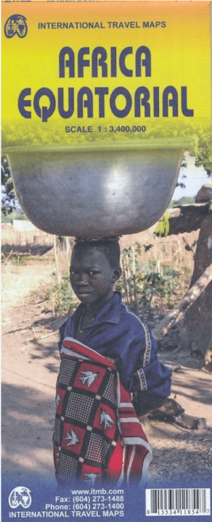
Landkaart Wegenkaart Afrika Equatoriaal - ITMB • 9781553411857
Wegenkaart Equatoriaal Afrika - ITMB Productomschrijving: This is the third regional map covering the African continent and covers the portion just south of Nigeria/Cameroun that, essentially, straddles the equator. ITMB has divided the southern half of the African continent into three double-sided sheets at a better scale. This is the first one, covering Africa as far south as Zambia, wit…

Plano Politieke Wandkaart Afrika 100 x 120 - Lovell Johns • 9781903030851
Plano Wandkaart Afrika - Lovell Johns Productomschrijving: Deze politieke kaart van Afrika toont het hele Afrikaanse continent, van Marokko tot Noord- naar Zuid-Afrika en Madagaskar in het zuiden. Elk land heeft een andere kleur waardoor het eenvoudig is om internationale grenzen te zien. In de legende onderaan de kaart staan de vlaggen van elk land. Deze politieke kaart van Afrika bevat o…
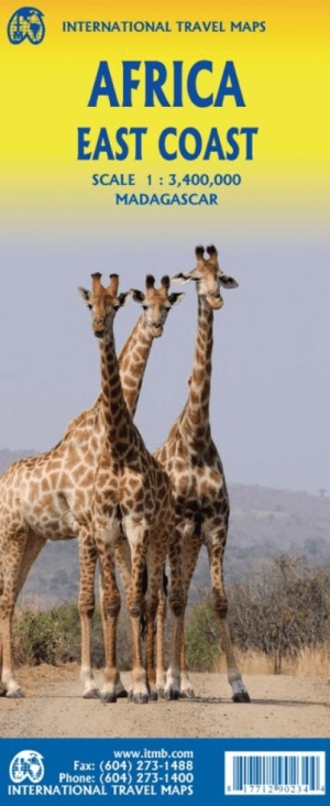
Landkaart Wegenkaart Afrika Oostkust - ITMB • 9781771290234
Wegenkaart Afrika Oostkust - ITMB Productomschrijving: Map covering the entire coastline of the Indian Ocean portion of Africa, from Djibouti all the way south to Port Elizabeth, in South Africa. This double-sided map encompasses a vast region, including all of Djibouti, Somalia, Kenya, Uganda, Tanzania, Rwanda, Burundi, Mozambique, Malawi, Zimbabwe, Lesotho, and Swaziland (which now prefe…

Plano Politieke Wandkaart Afrika 61 x 78 cm - Nat Geo • 9780792250104
Wandkaart Afrika 61 x 78 cm - Nat Geo Productomschrijving: National Geographic's map of Africa is as attractive as it is functional. The entire continent is rendered in the Classic style with colorful, clearly defined international borders, shaded relief, and easy-to-read fonts. Place names, bodies of water, airports, major highways and roads, as well as cartographic patterns used to depic…