

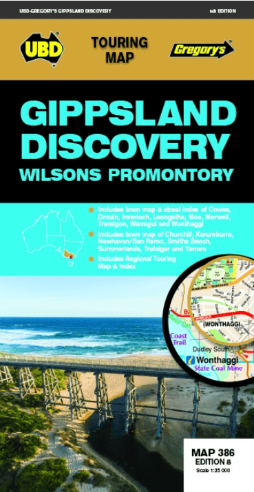
Landkaart Wegenkaart 386 Gippsland Discovery - UBD GRegory's
Wilsons Promontory- Buxton- Heyfield- Craigieburn
Korte omschrijving
Wegenkaart Gippsland Discovery - UBD GRegory's Productomschrijving: This newest edition of the Gippsland Discovery and Wilsons Promontory touring map is an essential tool to use when travel...

Specificaties
- Uitgever: UBD Gregory's Universal Publishers
- ISBN-13: 9780731932337
- HOOFDCATEGORIEËN: Wegenkaart - Landkaart
- Activiteiten: Street/Road maps & city plans
- Regio: Victoria
- Land: Australië
- Schaal: 1:25000
- Editie: 8
- Taal: Engels
Volledige omschrijving
Wegenkaart Gippsland Discovery - UBD GRegory's
Productomschrijving: This newest edition of the Gippsland Discovery and Wilsons Promontory touring map is an essential tool to use when travelling in the area. With a regional map and towns index covering Buxton in the north, Wilsons Promontory in the south, Heyfield in the east and Craigieburn in the south.
There is also street level mapping and town descriptions for the towns of Churchill, Cowes, Inverloch, Korumburra, Leongatha, Moe, Morwell, Traralgon, Warragul and Yarram and town maps of Drouin and Trafalgar.
Phillip Island is also covered with street maps of Cowes, Newhaven, San Remo, Smiths Beach and Summerlands.
There are detailed descriptions of the top attractions and activities throughout the region and a list of Visitor Information Centres.
Artikelen uit dezelfde regio

Wegenkaart Explorer Map Victoria High Country map 4-Set - Hema • 9321438002093
Explorer Map Victoria High Country map 4-Set - Hema Productomschrijving: Hema’s The Victorian High Country Map Pack presents Hema's iconic The Victorian High Country series in a soft and durable map wallet (including four detailed maps). Explore Victoria's 4WD mecca with these comprehensive maps that traverse one of Australia's most diverse mountainous regions — each map waterproof, tear …

Landkaart Wegenkaart Victoria High Country Noordwest - Hema • 9321438001720
Wegenkaart Victoria High Country Noordwest - Hema Productomschrijving: This map is part of Hema's new Victorian High Country Map Series and covers the North Western Alps Area including Hotham, Wangaratta and surrounds. Printed on durable waterproof paper, this map features Hema's iconic mapping and extensive points of interest. Featuring roads and 4WD tracks field-checked by the Hema Map P…

Landkaart Wegenkaart 382 Ballarat Grampians & Spa Country - UBD • 9780731932979
Wegenkaart Ballarat Grampians & Spa Country - Gregory's Productomschrijving: The latest edition of the Ballarat Grampians Spa Country Map has been fully revised and updated. Covers: Harcourt & Campbells Bridge in the north, Cressy in the south, Romsey in the east and Wartook and Dunkeld in the west. - A street level map and street index for Ballarat; - Street level maps of Arara…

Landkaart Wegenkaart Victoria High Country Zuidoost - Hema • 9321438001744
Wegenkaart Victoria High Country Zuidoost - Hema Productomschrijving: This map is part of Hema's new Victorian High Country Map Series and covers the Southern Lowlands and Lakes Areas including Gippsland and Snowy River National Park. Printed on durable waterproof paper, this map features Hema's iconic mapping and extensive points of interest. Featuring roads and 4WD tracks field-checked …
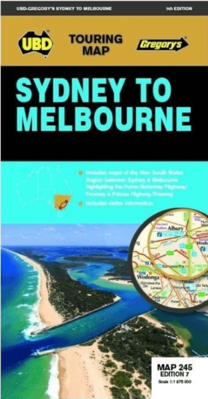
Landkaart Wegenkaart 245 Sydney to Melbourne NP - UBD Gregory's • 9780731933174
Wegenkaart Sydney to Melbourne NP - Gregory's Productomschrijving: The latest edition of the Sydney to Melbourne touring map has been fully revised and updated. It includes strip maps for travelling both the Princes Highway/Freeway and the Hume Motorway/Highway/Freeway with information on the major towns along these routes. There is also state mapping at a scale of 1: 975 000 highligh…