

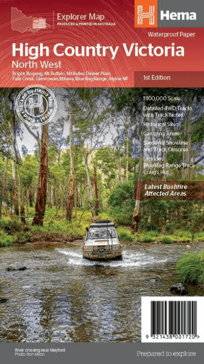
Landkaart Wegenkaart Victoria High Country Noordwest - Hema
North Western Alps Area - Hotham & Wangaratta
Korte omschrijving
Wegenkaart Victoria High Country Noordwest - Hema Productomschrijving: This map is part of Hema's new Victorian High Country Map Series and covers the North Western Alps Area including Hotha...

Specificaties
- Uitgever: Hema Maps
- ISBN-13: 9321438001720
- HOOFDCATEGORIEËN: Wegenkaart - Landkaart
- Activiteiten: Street/Road maps & city plans
- Regio: Australië, Victoria, Victoria High Country, Australia
- Land: Australië
- Schaal: 1:100000
- Editie: 1
- Taal: Engels
- Reeks/Serie: Explorer Map reeks, Hema maps, Victorian High Country series, Hema
- De Australische Regio's: Victoria
Volledige omschrijving
Wegenkaart Victoria High Country Noordwest - Hema
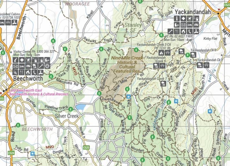
Productomschrijving: This map is part of Hema's new Victorian High Country Map Series and covers the North Western Alps Area including Hotham, Wangaratta and surrounds. Printed on durable waterproof paper, this map features Hema's iconic mapping and extensive points of interest. Featuring roads and 4WD tracks field-checked by the Hema Map Patrol for superior accuracy.
It combines Hema’s entire database of roads and 4WD tracks with touring points of interest and topographic information. Also included are seasonal track closures, camping areas, old townsites, huts, accommodation and distances.
KEY FEATURES
- 4WD tracks
- Huts
- Camping areas
- Old townsites
- Seasonal track closures
- Road distances
- Accommodation

Artikelen uit dezelfde regio

Recreational Atlas of Australia - UBD Gregory's • 9780731927982
Recreational Atlas of Australia - UBD Productomschrijving: Bevat gebruiksvriendelijke, grootschalige kaarten -- 58 pagina's met informatie over diverse recreatieve activiteiten -- Pictogrammen die de populairste bestemmingen voor recreatieve activiteiten op de kaarten aangeven -- Kleurenfoto's -- Uitgebreide index.

Landkaart Wegenkaart Victoria High Country Zuidoost - Hema • 9321438001744
Wegenkaart Victoria High Country Zuidoost - Hema Productomschrijving: This map is part of Hema's new Victorian High Country Map Series and covers the Southern Lowlands and Lakes Areas including Gippsland and Snowy River National Park. Printed on durable waterproof paper, this map features Hema's iconic mapping and extensive points of interest. Featuring roads and 4WD tracks field-checked …

Landkaart Wegenkaart Victoria state map - Hema Maps • 9781865009834
Wegenkaart Victoria state map - Hema Productomschrijving: A comprehensive map of Victoria for touring throughout the state that has camping and rest areas, 24-hour fuel and points of interest marked on the mapping. On the reverse are CBD, the surrounding region and through road maps of Melbourne in addition to maps of the Great Ocean Road and East Gippsland. Also included is a national pa…
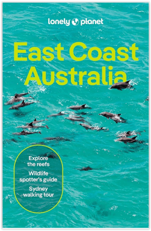
Reisgids Australië Oostkust - Lonely Planet • 9781838691950
Reisgids Australië Oostkust - Lonely Planet Productomschrijving: Pack your bags: Australia’s east coast is road-tripping nirvana, with picture-perfect beaches, rainforests, hip cities and the Great Barrier Reef. Lonely Planet will get you to the heart of East Coast Australia, with amazing travel experiences and the best planning advice. Lonely Planet East Coast Australia is your p…
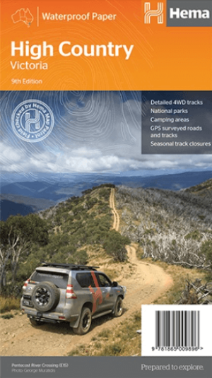
Landkaart Wegenkaart Iconic Map The High Country - Hema • 9781876413125
Iconic Map The High Country - Hema Productomschrijving: This brand new edition of Hema’s best-selling High Country map, on durable waterproof paper, features our latest mapping and points of interest in a stunning new cartographic style. Featuring roads and 4WD tracks field-checked by the Hema Map Patrol for superior accuracy. It combines Hema’s entire database of roads and 4WD tracks…