
Landkaart Ierland - Borch
Dublin- Cork- Galway- Limerick- Kilkenny- Wicklow
Korte omschrijving
Wandelkaarten Ierland van Borch GmbH. Ideaal voor tochten in Ierland.
Wandelkaart Landkaart Ierland - Borch Productomschrijving: Our soft-laminated folded map of Ireland in the 18th edition shows: Ireland 1:700 000, Dublin 1:15 000, Cork 1:8 000, Killarney Nat...
Specificaties
- Uitgever: Borch GmbH
- ISBN-13: 9783866093232
- HOOFDCATEGORIEËN: Wandelkaart, Wegenkaart - Landkaart
- Activiteiten: Wandelen, Hiking & Trekking
- Regio: Ierland
- Land: Ierland
- Schaal: 1:700000
- Editie: 18
- Taal: Duits, Engels, Frans, Itailaans, Spaans
Volledige omschrijving
Wandelkaart Landkaart Ierland - Borch
Productomschrijving: Our soft-laminated folded map of Ireland in the 18th edition shows: Ireland 1:700 000, Dublin 1:15 000, Cork 1:8 000, Killarney National Park 1:100 000, Wicklow Mountains 1:350 000 and Ireland administrative. Borch maps are easy to fold, durable and water-repellent with a wipeable surface. Borch Maps show hotels, museums, monuments, markets, top sights and points of interest, useful statistics, conversion charts for temperatures, weights and measurements, climate charts showing temperatures, sunshine hours, precipitation and humidity, overview maps, time zones, and much more
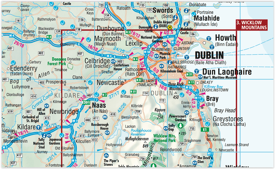
Omvat: Dublin, Cork, Galway, Limerick, Kilkenny, Wicklow, Sliggo, Ennis, Wexford, Dundalk, Tralee, Mallow, Midleton, Cobh, Leixlip
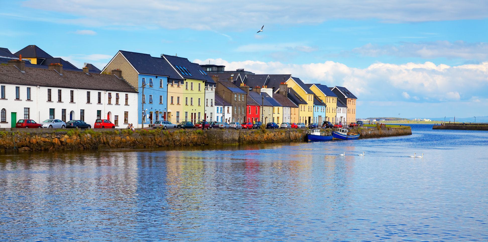
Once one has torn oneself away from the bustling, cosmopolitan atmosphere of Dublin, the "Emerald Isle" more than confirms its reputation lush green meadows and peat mores dotted with stone walls and the occasional small house; rugged cliffs and windswept hillsides populated only by sheep long sandy beaches all to yourself; rain every ten minutes the rugged solitude of an island in the Atlantic tempered by both the warmth of the Gulf Stream and the hospitality and kindness of its unique inhabitants.
The visitor will be enchanted, whether by the violet shimmer of the Wicklow Mountains where the first monks settled in the valley of Glendalough, the great seclusion of Connemara where the coast twists into majestic fjords, or along the Ring of Kerry where the diversity of the Irish landscape reveals itself in all its beauty. The day is best ended in the pub sharing a laugh with the locals whilst enjoying a glass of stout.
Artikelen uit dezelfde regio

Landkaart Wegenkaart Road Map Ierland - Hallwag • 9783828310506
Wegenkaart Road Map Ierland - Hallwag Productomschrijving: Op zoek naar betrouwbare Hallwag wegenkaarten? Deze klassieke road maps staan bekend om hun duidelijke cartografie, praktische indeling en heldere weergave van wegen en verbindingen. Voor autoritten, vakanties, camperreizen en lange roadtrips bieden Hallwag wegenkaarten het overzicht dat je onderweg nodig hebt. Met een Hallwag …

Stadsplattegrond Discovery Series Limerick city Ireland - OSI • 9781908852823
Stadskaart Limerick city Ireland - OSI Productomschrijving: Limerick Street Map at a scale of 1:13,000 Large Fold Out Street map including street names and index.
Wandelkaart 3 County Donegal North East & Derry - OSI Ireland • 9781912140008
Wandelkaart Donegal North East & Derry - OSI Ireland Productomschrijving: Ontdek Ierland met de Discovery Series Wandelkaarten van Ordnance Survey Ireland. De Discovery Series wandelkaarten van Ordnance Survey Ireland (OSi) zijn dé keuze voor wandelaars, fietsers en avonturiers die Ierland echt willen verkennen. Deze hoogwaardige topografische kaarten bieden een gedetailleerd en nauwke…
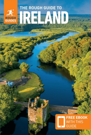
Reisgids Ireland/Ierland - Rough Guides • 9781835290484
The Rough Guide to Ireland Productomschrijving: Discover this evergreen destination with the most incisive and entertaining guidebook on the market. Whether you plan to ride the length of the wonderful Wild Atlantic Way, take a foodie tour of the southwest or discover a city reborn in Belfast, The Rough Guide to Ireland will show you the ideal places to sleep, eat, drink, shop and visit a…

Reisgids Experience Ireland - Lonely Planet • 9781838697549
Ireland Experience - Lonely Planet Productomschrijving: Lonely Planet’s Experience Ireland is your guide to unforgettable experiences and local surprises. Discover the ferociously fast sport of hurling, explore pristine beaches, and hike through unspoiled wilderness - all guided by local experts with fresh perspectives. Uncover Ireland’s best experiences and get away from the everyday! …