
Wandelkaart Tour of Monte Rosa - Knife Edge
Mont Blanc- Grand Combin- Weisshorn- Zinalrothorn- Dom

Korte omschrijving
Wandelkaarten Wallis van Knife Edge Outdoor Limited. Ideaal voor tochten in Zwitserland.
Tour of Monte Rosa - Knife Edge Productomschrijving: Deze omvat De beste kaart voor de Ronde van Monte Rosa. Dit is de enige beschikbare kaart die de hele route en varianten op één vel weerg...

Specificaties
- Uitgever: Knife Edge Outdoor Limited
- ISBN-13: 9781912933549
- HOOFDCATEGORIEËN: Wandelkaart
- Activiteiten: Wandelen, Hiking & Trekking
- Auteur: Andrew McCluggage
- Regio: Wallis
- Land: Zwitserland
- Toepasselijke bergketen: Monte Rosa, Wallis Zwitserland - Grens Italië
- TOPO's & Stafkaarten: Topografisch wandelen
- Schaal: 1:40000
- Editie: 1
- Taal: Engels
- Reeks/Serie: Knife Edge, The Great treks of the Alps
- Iconische Bergketens van Europa: De Monte Rosa, Zwitserland
- Iconische Wandelroutes: Tour de Matterhorn, Zwitserland
Volledige omschrijving
Tour of Monte Rosa - Knife Edge
Productomschrijving: Deze omvat De beste kaart voor de Ronde van Monte Rosa. Dit is de enige beschikbare kaart die de hele route en varianten op één vel weergeeft: perfect voor planning en navigatie. 1:40.000 - grotere schaal en meer detail dan elke andere kaart. de ronde brengt u van het startpunt in Chamonix tot in het Zwitserse Zermatt.
Deze massieven komt u tegen:
Mont Blanc, Grand Combin, the Weisshorn, the Zinalrothorn, the Dom, the Täschhorn, the Breithorn and the Matterhorn.
Engelse omschrijving: The best sheet map for the Tour of Monte Rosa. This is the only map available that displays the entire route and variants on a single sheet: perfect for planning and navigation. 1:40,000 - larger scale and more detail than any other map.
Made specifically for the Tour of Monte Rosa by Knife Edge Outdoor Guidebooks:
• English/French/German map key
• 1:40,000
• Numerous variants
• Includes free GPX downloads for the trail
• GPS compatible
• Tougher than traditional maps: try to tear me!
• More water-resistant than traditional maps
• Lighter than traditional maps
• Huts/accommodation marked on the map
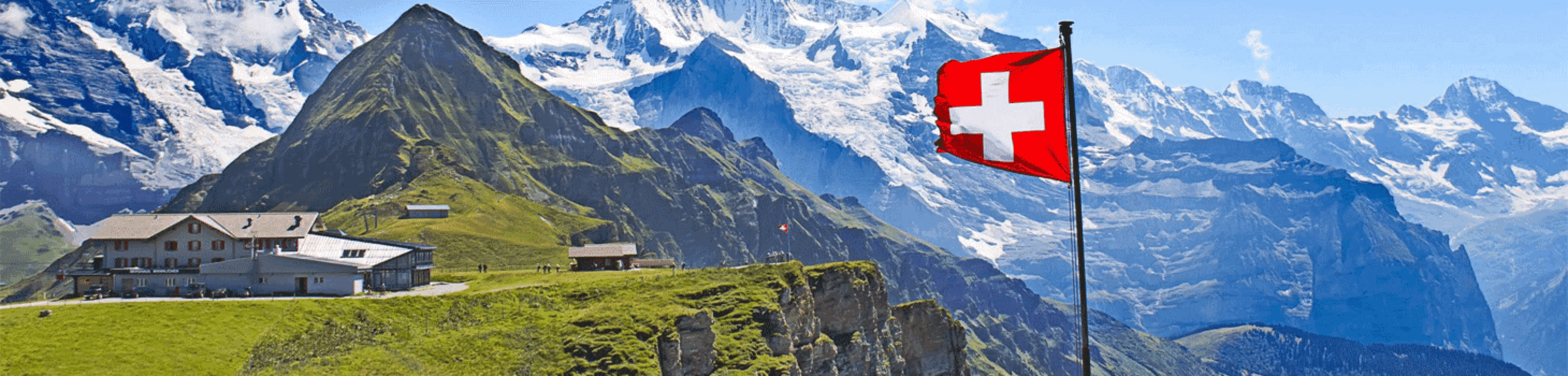
The Walker’s Haute Route is an incredible trek between the two most famous mountain towns in the Alps. Travelling from Chamonix in France to Zermatt in Switzerland, you will start at Mont Blanc and finish at the Matterhorn. On the way, pass the largest collection of snowy 4000m summits in the Alps: Mont Blanc, Grand Combin, the Weisshorn, the Zinalrothorn, the Dom, the Täschhorn, the Breithorn and the Matterhorn, to name a few. The sister trek to the Tour du Mont Blanc crosses unspoilt and remote mountain terrain: amazing glaciers, snow frosted summits, beautiful valleys and pastures, shimmering lakes, carpets of wild flowers and the soothing sound of cow bells. This trek should be on your hiking bucket list.
• 206km
• 10-14 days
• 14,000m of altitude gain
• 12 mountain passes
• 2 countries: France and Switzerland.

Artikelen uit dezelfde regio
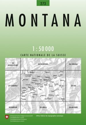
Wandelkaart 273 Montana Wallis Zwitserland - Swisstopo • 9783302002736
Wandelkaart Montana - Wallis Zwitserland - Swisstopo Productomschrijving: Montana is een gemeente en plaats in het Zwitserse kanton Wallis, en maakt deel uit van het district Sierre. Detail: Zeer gedetailleerde topografische wandelkaarten van een klein stuke Zwitserland met schaal 1:50.000. De topografische details van deze kaarten zijn onmetelijk goed; de werkelijkheid is perfect op w…

Klimgids Dreams of Switzerland- Susten- Grimsel- Furka & Nufenen • 9783859024908
Klimgids Dreams of Switzerland - SAC (Engels talige gids) Productomschrijving: Een top bereiken via de mooiste weg is iedere klimmers droom tijdens het klimmen in de Alpen. Deze gids met geselecteerde beklimmingen beschrijft de mooiste 4c tot 6b+ multi-pitch routes van Furka, Grimsel, Susten en Nufenen. De routes in deze gids zijn geïllustreerd met veel foto's en gedetailleerde schetse…
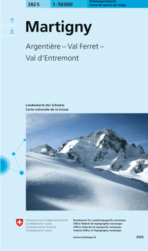
Skikaart 282 S Martigny & Courmayeur Ski - Swisstopo • 9783302502823
Skikaart Martigny & Courmayeur - Swisstopo Productomschrijving: Martigny ligt in het kanton Wallis (Valais), in het zuidwesten van Zwitserland. De stad heeft een zeer strategische ligging in de bocht van de Rhône, waar de rivier een scherpe hoek maakt naar het noorden richting het Meer van Genève. De 1:50.000 sneeuwsportkaarten van swisstopo zijn een onmisbaar accessoire voor elke ski-…
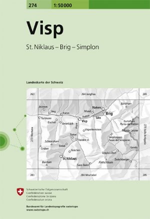
Wandelkaart 274 Visp Wallis Zwitserland - Swisstopo • 9783302002743
Wandelkaart Visp - Wallis Zwitserland - Swisstopo Omvat: St. Niklaus, Brig & Simplon Productomschrijving: Visp is een gemeente en plaats in het Zwitserse kanton Wallis, en maakt deel uit van het district Visp. Detail: Zeer gedetailleerde topografische wandelkaarten van een klein stuke Zwitserland. De topografische details van deze kaarten zijn onmetelijk goed; de werkelijkheid is p…

Skikaart 273 S Montana Ski - Swisstopo • 9783302502731
Skikaart Montana - Swisstopo Productomschrijving: Montana ligt in het kanton Wallis (Valais), in het zuidwesten van Zwitserland. Het dorp ligt op een zonnig hoogplateau op ongeveer 1.500 meter hoogte, direct boven het Rhônedal en de stad Sierre. De 1:50.000 sneeuwsportkaarten van swisstopo zijn een onmisbaar accessoire voor elke ski- of sneeuwschoentocht, of het nu gaat om de planning …