

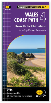
Wandelkaart South Wales Coast Path 4 - Harvey Maps
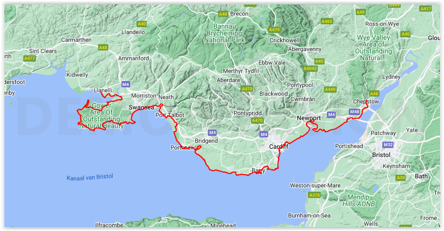
Van Chester in het Noorden tot Chepstow in het zuiden
Korte omschrijving
Wandelkaarten Gower Peninsula, Wales van HARVEY MAPS. Ideaal voor tochten in Wales.
Wandelkaart Wales west Coast Path XT40 - Harvey Maps Productomschrijving: De Wales Coast Path is een 1400 km lang pad die loopt langs de gehele kustlijn van Wales, van Chester in het noorden...

Specificaties
- Uitgever: HARVEY MAPS
- ISBN-13: 9781851376636
- HOOFDCATEGORIEËN: Wandelkaart
- Activiteiten: Wandelen, Hiking & Trekking
- Regio: Gower Peninsula, Wales
- Land: Wales
- Lange afstand wandelroutes: Wales Coastel Path (1400 km)
- Schaal: 1:40000
- Taal: Engels
- Reeks/Serie: Superwalker XT40, Harvey Maps
Volledige omschrijving
Wandelkaart Wales west Coast Path XT40 - Harvey Maps
Productomschrijving: De Wales Coast Path is een 1400 km lang pad die loopt langs de gehele kustlijn van Wales, van Chester in het noorden tot Chepstow in het zuiden. Ervaar de voldoening van fijne navigatie met de Trail Map XT40, gedrukt op 100% waterdicht en bijna onverwoestbaar papier, ongeacht het weer!
Engelse omschrijving: The Wales Coast Path is a 1400km long distance path along the entire coastline of Wales, from Chester in the north to Chepstow in the south. Experience the satisfaction of fine navigation with the Trail Map XT40, printed on 100% waterproof and almost indestructible paper, whatever the weather!
- The entire route on 4 maps - this is map 4
- Map 4 shows Llanelli to Chepstow, 282km (175miles) in length, including the Gower Peninsula
- A good two weeks’ walking on one map
- Information on accomodation and services
- Lightweight, detailed, clear and easy to read
- Printed on tough 100% waterproof, tearproof paper
- GPS compatible
Maps 2 and 3 OUT NOW. Map 1 MAY 2023.
Artikelen uit dezelfde regio

Wandelgids 055 Pathfinder guides Gower, Swansea & Cardiff - OS • 9780319090749
Wandelgids Gower, Swansea & Cardiff Wales - OS Productomschrijving: With 28 circular, graded walks that have been tested by experienced walkers, this walking guidebook is ideal for holiday-makers, day trips and locals. The routes range from 4.8km (3 miles) to 14.9km (9.75 miles), so there is something for everyone. Each route includes a detailed description, the Ordnance Survey map for th…