

Wandelkaart OL37 Cowal East- Dunoon & Iverary - OSI
Hoogtepunten Loch Lomond en de Trossachs National Park


Korte omschrijving
Wandelkaarten Argyll & Bute, Schotland van Ordnance Survey. Ideaal voor tochten in Schotland.
Wandelkaart Cowal East- Dunoon & Iverary - Argyl & Bute Omvat ook: Dunoon & Inveraray Productbeschrijving: Kaart nummer OL 37 omvat Cowal East, Dunoon & Inveraray. Hoogtepunten Loch Lomo...

Specificaties
- Uitgever: Ordnance Survey
- ISBN-13: 9780319469552
- HOOFDCATEGORIEËN: Wandelkaart
- Activiteiten: Wandelen, Hiking & Trekking
- Regio: Argyll & Bute, Schotland
- Land: Schotland
- Waterafstotende kaart: Ordnance Survey ACTIVE Explorer Weatherproof Maps
- Nationale parken: Trossachs NP, Schotland
- TOPO's & Stafkaarten: Topografisch wandelen
- Schaal: 1:25000
- Taal: Engels
- Reeks/Serie: Explorer ACTIVE Series OSI
Volledige omschrijving
Wandelkaart Cowal East- Dunoon & Iverary - Argyl & Bute
Omvat ook: Dunoon & Inveraray
Productbeschrijving: Kaart nummer OL 37 omvat Cowal East, Dunoon & Inveraray. Hoogtepunten Loch Lomond en de Trossachs National Park, Argyll Forest Park en Kyles of Bute. Ook Loch Fyne, Holy Loch en West Island way. Deze kaart vervangt de vorige OS Explorer kaart 363 voor dit gebied. De OS Explorer kaart voor Cowal East is beschikbaar in zowel de standaard papieren versie en weerbestendige 'Actief' versie.
Kaart nummer OL37 is een all purpose kaart vol gepakt met informatie om u het gebied te helpen leren kennen. De kaarten bestrijken het land. Elke kaart heeft een oppervlakte van 40 km door 40 km (25 mijl door 25 mijl) en zoals andere kaarten van Ordnance Survey, National Grid-vierkanten worden verstrekt zodat elke functie een unieke referentienummer kan worden gegeven.
Productdiscription: Map sheet number OL 37 covers Cowal East, Dunoon and Inveraray. Highlights include Loch Lomond and The Trossachs National Park, Argyll Forest Park and Kyles of Bute. Also includes Loch Fyne, Holy Loch and West Island Way This map replaces the previous OS Explorer map 363 for this area. The OS Explorer map for Cowal East is available in both the standard paper version and weatherproof 'Active' version.
Locatie op kaart
Gekoppelde artikelen

Wandelkaart OL37 Cowal East- Dunoon & Iverary - OSI • 9780319469552
weatherproof versieWandelkaart Cowal East- Dunoon & Iverary - Argyl & Bute Omvat ook: Dunoon & Inveraray Productbeschrijving: Kaart nummer OL 37 omvat Cowal East, Dunoon & Inveraray. Hoogtepunten Loch Lomond en de Trossachs National Park, Argyll Forest Park en Kyles of Bute. Ook Loch Fyne, Holy Loch en West Island way. Deze kaart vervangt de vorige OS Explorer kaart 363 voor dit gebied. De OS Explorer ka…
Artikelen uit dezelfde regio
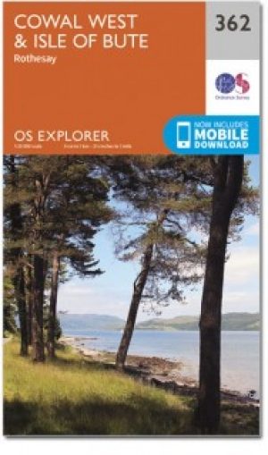
Wandelkaart 362 Cowal West & Isle of Bute- Argyl & Bure • 9780319472330
Wandelkaart Cowal West & Isle of Bute - Argyl & Bute Schotland Omvat ook: Rothesay. Productbeschrijving: Kaart nummer 362 omvat Cowal West, Rothesay en the Isle of Bute. Hoogtepunten zijn Kyles of Bute, Loch Riddon en Loch Lomond en de Trossarchs National Park. Omvat ook Loch Fyne, Garbhallt en Kingarth. De OS Explorer kaart voor Cowal West & Isle of Bute is beschikbaar in zowel de sta…

Wandelkaart 14 Tarbert & Loch Seaforth Schotland - OSI • 9780319261125
Wandelkaart Tarbert & Loch Seaforth - Schotland Productbeschrijving: De OS Landranger kaart 14 van Tarbert & Loch Seaforth bevat ook Maraig, Scalpay, Loch Langabhat, Grabhair, Caolas Stocinis, alsmede Tioga Moraym De OS Landranger kaarten reeks heeft betrekking op Groot-Brittannië met 204 gedetailleerde kaarten, perfect voor dagtochten en korte pauzes. Elke kaart bevat alle informatie …

Wandelkaart 376 Oban & North Lorn- Argyl & Bute - OSI • 9780319246238
Wandelkaart Oban & North Lorn - Argyl & Bute Schotland Omvat ook: Benderloch, Lismore & Loch Creran Productomschrijving: Kaart nummer 376 omvat Oban en Noord Lorn. Hoogtepunten zijn Loch Creran, Lynn of Lorn & Shuna eiland. Omvat ook Lismore, Port Appin, North Shian en Loch Etive. De OS Explorer kaart voor Oban & Noord Lorn is beschikbaar in zowel de standaard papieren versie als de we…


Wandelkaart 50 Glen Orchy & Loch Etive- Argyl & Bute - OSI • 9780319473733
Wandelkaart Glen Orchy & Loch Etive - Argyl & Bute Schotland Productbeschrijving: OS Landranger 50 van de kaart serie is de ideale kaart moet worden gebruikt bij het verkennen van het noorden van Loch Fyne tot Black Mount. Deze kaart dekt een deel van Loch Lomond and The Trossachs National Park en een deel van de West highland way door Glen Orchy en Loch Etvie naar het westen De OS Lan…
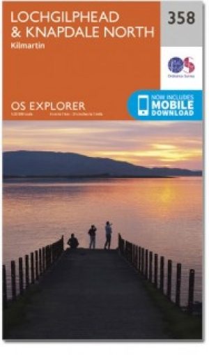
Wandelkaart 358 Lochgilphead & Knapdale North - OSI • 9780319246092
Wandelkaart Lochgilphead & Knapdale North - Highland's Schotland Omvat ook: Kilmartin. Productbeschrijving: OS Explorer kaart 358 omvat Noord Knapdale, met inbegrip van de meeste van de nationale Scenic Area's Knapdale, evenals Lochgilphead en de westelijke oever van Loch Fyne. De OS Explorer kaart voor Lochgilphead & Knapdale North is beschikbaar in zowel de standaard papieren versie …