

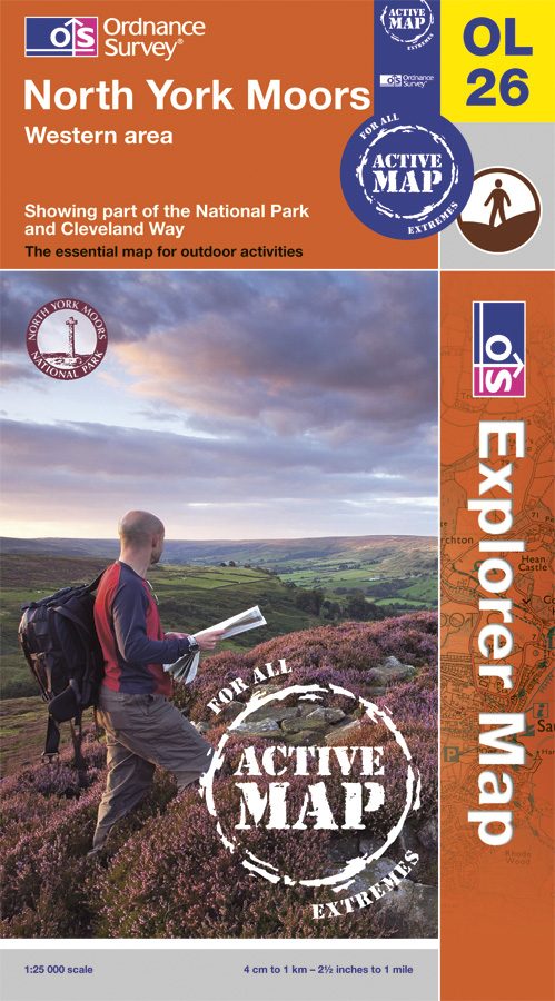
Wandelkaart OL26 North York Moors NP England - OSI
Omvat de Cleveland Hills & deels de North York Moors
Korte omschrijving
Wandelgidsen North Yorkshire, Engeland van Ordnance Survey. Ideaal voor tochten in England.
Wandelkaart North York Moors NP - England Productomschrijving: OL26 - North York Moors, Western area - kaart nummer OL26 in de OS Explorer reeks heeft betrekking op de Cleveland Hills, h...

Specificaties
- Uitgever: Ordnance Survey
- ISBN-10: 319468305
- ISBN-13: 9780319468302
- HOOFDCATEGORIEËN: Wandelkaart
- Activiteiten: Wandelen, Hiking & Trekking
- Regio: North Yorkshire, Engeland
- Land: England
- Waterafstotende kaart: Ordnance Survey ACTIVE Explorer Weatherproof Maps
- Nationale parken: Yorkshire Moors NP, England
- TOPO's & Stafkaarten: Topografisch wandelen
- Reeks/Serie: Explorer Series OS
- De Nationale Parken: North Yorkshire Moors National Park, England
- De Engelse Graafschappen: North Yorkshire
Volledige omschrijving
Wandelkaart North York Moors NP - England
Productomschrijving:
OL26 - North York Moors, Western area - kaart nummer OL26 in de OS Explorer reeks heeft betrekking op de Cleveland Hills, het westelijke deel van de North York Moors en een klein deel van de Howardian Hills. Hoogtepunten van het gebied zijn onder andere: Saltburn-by-the-Sea, Guisborough, Helmsley en Hunt Topping.
OL26 - North York Moors, Western area - Map sheet number OL26 in the OS Explorer series covers the Cleveland Hills, the western area of the North York Moors and a small section of the Howardian Hills. Highlights of the area include: Saltburn-by-the-Sea, Guisborough, Helmsley, and Roseberry Topping.
Locatie op kaart
Gekoppelde artikelen

Wandelkaart OL26 North York Moors NP England - OSI • 9780319468302
weatherproof versieWandelkaart North York Moors NP - England Productomschrijving: OL26 - North York Moors, Western area - kaart nummer OL26 in de OS Explorer reeks heeft betrekking op de Cleveland Hills, het westelijke deel van de North York Moors en een klein deel van de Howardian Hills. Hoogtepunten van het gebied zijn onder andere: Saltburn-by-the-Sea, Guisborough, Helmsley en Hunt Topping. OL26 -…
Artikelen uit dezelfde regio

Wandelkaart 94 Whitby & Esk Dale- North Yorkshire - OSI • 9780319261927
Wandelkaart Whitby & Esk Dale - North Yorkshire England Productbeschrijving: OS Landranger kaart 94 toont van het meeste van het North York Moors National Park, en omvat Robin Hoods Bay, Whitby en Saltburn-by-the-Sea. De Esk Dale is een schilderachtige vallei - Volg de Esk Valley Walk (56km) om het beste van dit gebied te zien De OS Landranger kaarten reeks heeft betrekking op Groot-Br…
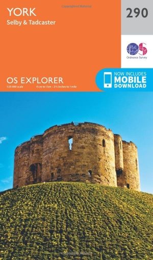
Wandelkaart 290 York- Selby & Tadcaster- North Yorkshire - OSI • 9780319244876
Wandelkaart York- Selby & Tadcaster - North Yorkshire England Productbeschrijving: Deze twee-zijdige kaart (OS Explorer kaart 290) toont York tot Selby, met inbegrip van de Trans Pennine Way en de Ebor Way. U kunt de historische stad verkennen, of verder gaan en de rivier de Ouse volgen. De OS Explorer kaart voor York is beschikbaar in zowel de standaard papieren versie als de weerbestendi…
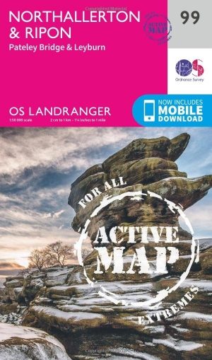
Wandelkaart 99 Northallerton & Ripon- N. Yorkshire - OSI • 9780319474228
Wandelkaart Northallerton & Ripon - North Yorkshire England Productbeschrijving: Ligt tussen de Yorkshire Dales en de North York Moors, het gebied gedekt door OS Landranger kaart 99 wordt vaak vergeten, maar omvat wel de oude kathedraal stad van Ripon, Northallerton en andere kleinere steden. De OS Landranger kaarten reeks heeft betrekking op Groot-Brittannië met 204 gedetailleerde kaarte…

Wandelkaart 301 Scarborough- Bridlington - OSI • 9780319471739
Wandelkaart Scarborough- Bridlington & Flamborough Head Productbeschrijving: Kaart nummer 301 in de OS Explorer kaarten reeks heeft betrekking op de oostkust van Yorkshire rond Scarnorough, Bridlington en Flamborough Head. Hoogtepunten van het gebied zijn onder andere: Cleveland Way, de Yorkshire Wolds Way, Het nationall park zelf, en de North Sea Trail. De OS Explorer kaart voor Scarborou…

Wandelkaart 298 - Nidderdale AONB North Yorkshire - OSI • 9780319471708
Wandelkaart Nidderdale AONB - North Yorkshire England Omvat ook: Fountains Abbey, Ripon & Pateley Bridge. Productbeschrijving: Kaart nummer 298 in de OS Explorer kaarten reeks beslaat een gebied van Noord-Yorkshire rond Nidderdale. De Nidderdale Way en Ripon Rowel pad, voeren uit door dit schilderachtige gebied, die ook een deel van de Yorkshire Dales National Park heeft. Hoogtepunten …