
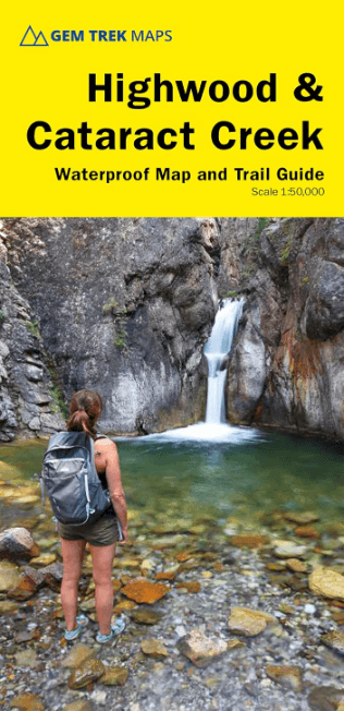
Wandelkaart Highwood River & Cataract Creek - Gem Trek
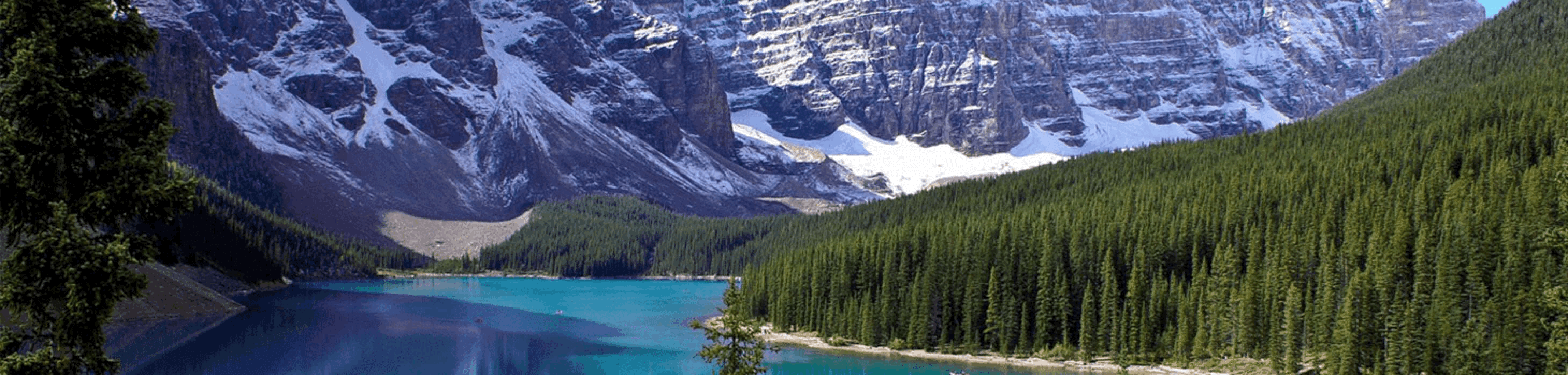
In het zuidelijke deel van Kananaskis Country
Korte omschrijving
Wandelkaarten Southern Alberta en Cananaskies country, Rocky's Canada van Gem Trek Publishing. Ideaal voor tochten in Canada.
Highwood River & Cataract Creek - Gem Trek. Productomschrijving: De Highwood & Cataract Creek-kaart van Gem Trek voldoet aan de behoeften van bezoekers die het zuidelijke deel van Kananaskis...

Specificaties
- Uitgever: Gem Trek Publishing
- ISBN-13: 9781990161032
- HOOFDCATEGORIEËN: Wandelkaart
- Activiteiten: Wandelen, Hiking & Trekking
- Regio: Cananaskies country, Rocky's Canada, Southern Alberta
- Land: Canada
- Schaal: 1:50000
- Editie: 4
- Taal: Engels
Volledige omschrijving
Highwood River & Cataract Creek - Gem Trek.
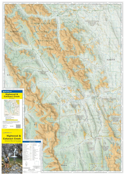
Productomschrijving: De Highwood & Cataract Creek-kaart van Gem Trek voldoet aan de behoeften van bezoekers die het zuidelijke deel van Kananaskis Country willen verkennen. Of je nu langs de wegen toert of het binnenland intrekt, de waterdichte en scheurbestendige Highwood & Cataract Creek kaart is van onschatbare waarde. Deze kaart bevat gedetailleerde cartografie, nauwkeurige wandelroutes met afstanden en details zoals houtkapwegen, kampeerterreinen, ruiterroutes, picknickplaatsen en uitkijkposten bij branden.
Op de achterkant staan beschrijvingen van de populairste wandelroutes en details van voorzieningen zoals campings en bezoekerscentra.
Engelse omschrijving: Gem Trek's Highwood & Cataract Creek map meets the needs of visitors looking to explore the southern portion of Kananaskis Country. Whether you are touring along the roads or heading into the backcountry, you’ll find the waterproof and tear-resistant Highwood & Cataract Creek map to be an invaluable tool. This map features detailed cartography, accurate hiking trails with distances, and details such as logging roads, campgrounds, equestrian routes, picnic areas, and fire lookouts.
On the back are descriptions of the most popular hiking trails, as well details of services such as campgrounds and visitor centres.

Locatie op kaart
Artikelen uit dezelfde regio
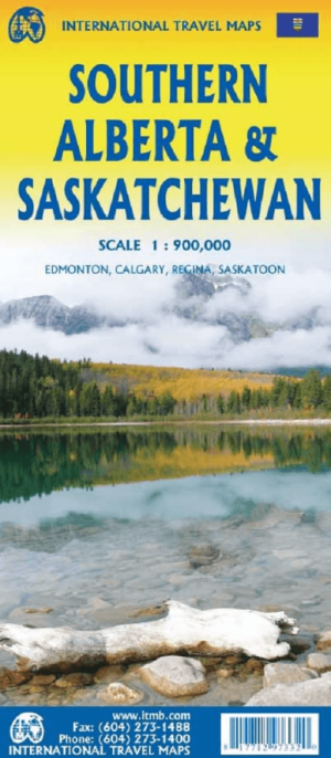
Landkaart Wegenkaart Alberta Zuid & Saskatchewan Zuid - ITMB • 9781771297332
Wegenkaart Zuid Alberta & Zuid Saskatchewan - ITMB Productomschrijving: Wegenkaart Zuid Alberta & Zuid Saskatchewan. The Canadian prairies stretch from just east of Calgary to around Winnipeg. This map covers from the British Columbia border to just east of the Saskatchewan/Manitoba border and from the American border to north of Edmonton and Saskatoon. This is a vast region of fairly…
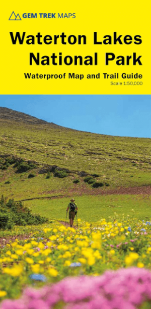
Wandelkaart Waterton Lakes NP Alberta Canada - Gem Trek • 9781990161056
Waterton Lakes NP Alberta Canada - Gem Trek Productomschrijving: Gem Trek's Waterton Lakes Nationaal Park kaart voldoet aan de behoeften van bezoekers die het kleinste nationale park van de Canadese Rockies willen verkennen, gelegen in de zuidwestelijke hoek van Alberta. Of je nu over de weg toert of het binnenland intrekt, de waterdichte en scheurbestendige Waterton Lakes National Park-ka…

Wandelkaart Kananaskis Lakes Alberta Canada - Gem Trek • 9781990161131
Kananaskis Lakes Alberta Canada - Gem Trek Productomschrijving: De Kananaskis Lakes-kaart van Gem Trek voldoet aan de behoeften van bezoekers die het zuidelijke deel van Kananaskis Country ( Cananaskis = voorheuvels van de Bergen) willen verkennen. Of je nu over de wegen toert of het binnenland intrekt, de waterdichte en scheurbestendige Kananaskis Lakes-kaart is van onschatbare waarde. De…
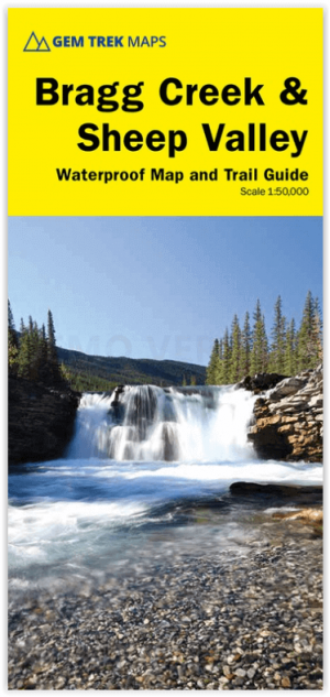
Wandelkaart 08 Bragg Creek and Sheep Valley - Gem Trek • 9781990161094
Wandelkaart 08 - Bragg Creek and Sheep Valley - Gem Trek Productomschrijving: Een klein bosrijk dorp vol authentieke Canadese charme en gebouwd met de Logcabin style. Engelse omschrijving: Waterproof and tearproof - Scale 1:50,000. Gem Trek’s Bragg Creek & Sheep Valley map meets the needs of visitors looking to explore Kananaskis Country west and south of Bragg Creek. Whether you are t…