
Wandelkaart 49 Garrotxa zona volcanica - Ed. Alpina
Girona - Catalonië - Spaanse Pireneeën


Korte omschrijving
Wandelkaarten Spaanse Pyreneeën, Spanje van Editorial Alpina S.L.. Ideaal voor tochten in Spanje.
Parco Nationale Garrotxa - zona volcanica - Ed. Alpina Productomschrijving: Garrotxa is een comarca of een county, gelegen in de provincie Girona en de regio Catalonië. in dit gebied ligt h...
Specificaties
- Uitgever: Editorial Alpina S.L.
- ISBN-13: 9788480909495
- HOOFDCATEGORIEËN: Wandelkaart
- Activiteiten: Wandelen, Hiking & Trekking
- Regio: Spaanse Pyreneeën, Spanje
- Land: Spanje
- Nationale parken: Garrotxa, PN de la Zona Volcanica, Spanje
- TOPO's & Stafkaarten: Topografisch wandelen
- Schaal: 1:25000
- Taal: Engels
Volledige omschrijving
Parco Nationale Garrotxa - zona volcanica - Ed. Alpina
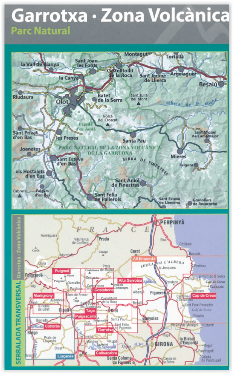
Productomschrijving: Garrotxa is een comarca of een county, gelegen in de provincie Girona en de regio Catalonië. in dit gebied ligt het volcaische gebied geprofileerd op deze kaart. De kaart omvat eveneens het nationale park van de Garrotxa.
Omvat de volgende locaties: Sant Joan les Fonts, la Canya, Riudaura, Joanetes, els Hostalets d'en Bas, Sant Feliu de Pallerols, Argelaguer, Castellfollit de la Roca, Montagut, Volcà del Croscat, Olot, Besalú, Mieres, Santa Pau, Sant Esteve d'en Bas, Tortellà, Sant Julià del Mont, Puig Sallanca, Volcà de Santa Margarida.
Book Language: Catalan, Spanish, English:
• Hiking map and guidebook
• Scale 1:25.000
• Equidistance contours: 10 m distance
• Master contours: at 50 m
• Shady relief
• Compatible with GPS
• Marked routes
• Land use symbolized at three levels
• Guidebook with hikes, potholing, gully descent, climbing, mountain biking and all the facts of interest.

Overzichtskaarten
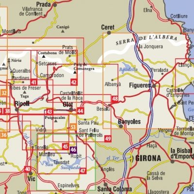
ALPINA Editorial - Wandelkaarten Oostelijke Pyreneeën 38 > 51
ALPINA Editorial - Wandelkaarten Oostelijke Pyreneeën 38 > 51

Producten op de overzichtskaart
Klik op een product om naar de detailpagina te gaan.
- Wandelkaart 39 Catllaràs Picancel - Ed. Alpina
- Wandelkaart 40 Cerdanya, Alta Cerdanya, Capcir & Andorra - Alpina
- Wandelkaart 44 Capçaleres del Ter i del Freser PN - Ed. Alpina
- Wandelkaart 47 Collsacabra - Vall de Sau - Ed. Alpina
- Wandelkaart 48 Alta Garrotxa - Ed. Alpina
- Wandelkaart 49 Garrotxa zona volcanica - Ed. Alpina
- Wandelkaart 50 Carlit, Estanys - Ed. Alpina
Artikelen uit dezelfde regio
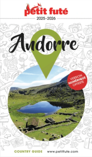
Reisgids Andorre 2025-2026 - Petit Futé • 9782305121970
Reisgids Andorre '25'26 - Petit Futé Productomschrijving: Nichée au coeur des Pyrénées, l'Andorre est aussi un mélange subtil de nature sauvage et de cultures. Ses montagnes préservées à découvrir selon les saisons à pied, en VTT, en Quad ou à ski, déploient des trésors de la biodiversité européenne, et s'enorgueillissent du plus vaste domaine skiable des Pyrénées. Ses eaux thermales ont d…
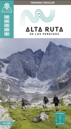
Wandelkaart Alta Ruta los Perdidos Monte Perdido-Vignemale Alpina • 9788470111679
Wandelkaart Alta Ruta los Perdidos Monte Perdido-Vignemale Productomschrijving: Monte Perdido-Vignemale verwijst naar een berggebied in de Pyreneeën, deels in Spanje en deels in Frankrijk, dat bekend staat om de Tour van de Vignemale route. De route is 50.1 Km in lengte, en is te doen in 4 dagen. De route is Zeer lastig maar u haalt er ongelofelijke voldoening uit. Omvat: De Spaanse n…

Wandelgids Pyrénées Béarnaises du Sentiers émilie - Rando • 9782344054871
Wandelgids Pyrénées Béarnaises - Rando Productomschrijving: Les sentiers d'Emilie dans les Pyrénées béarnaises, dans les Pyrénées d'Espangne. Omvat: Vallée D'aspe, Vallée D'ossau & Vallée de Baretous.
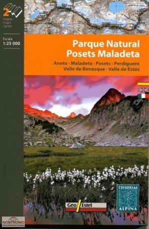

Wandelkaart 16 Posets - Maladeta - Ed. Alpina • 9788480904896
Wandelkaart Posets, Maladeta - Alpina Zeer gedetailleerde topografische wandelkaart van Posets Maladeta Nationaal Park, een stuk van de Spaanse Pyreneeën. Met ingetekende wandelroutes en andere informatie. Engels- en Spaanstalig. Een uitstekende kaart met symbolen voor campings en hutten. Bevat: Aneto / Maladeta / Posets / Perdiguero Map Language: Spanish, French, English •Two hi…
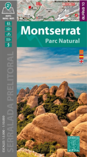
Wandelkaart Montserrat Parc Naturel - Editorial Alpina • 9788470111624
Wandelkaart Montserrat Parc Naturel - Alpina Productomschrijving: Deze omvat het Catalaanse gelegen Parc Natural de la Muntanya de Montserrat, Catalonië Spanje. Het park ligt ter hoogte van Barcelona meer in het binnenland. Omvat Alle netwerk wandelroutes van het parc. Book Language: Spanish • Hiking map and guidebook • Scale 1:10.000 • Equidistance contours: 10 m distance • …