

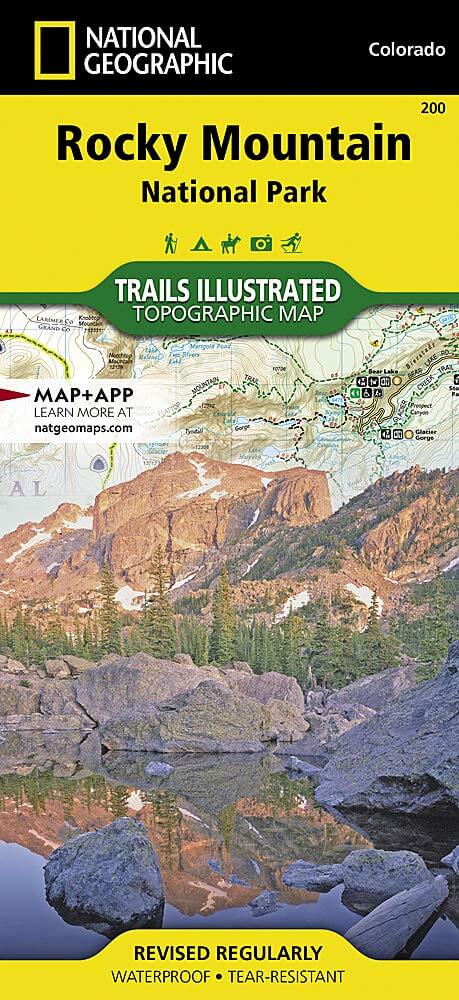
Wandelkaart 200 Rocky Mountain NP- Colorado - Nat Geo
Rocky Mountain NP bezit majestueuze berggezichten
Korte omschrijving
Wandelkaarten Colorado, USA van National Geographic. Ideaal voor tochten in Verenigde Staten van Amerika (USA).
TOPO Wandelkaart 200 - Rocky Mountain NP- Colorado - National Geographic Productomschrijving: Rocky Mountain National Park is een Amerikaans nationaal park in de Southern Rocky Mountains in ...

Specificaties
- Uitgever: National Geographic
- ISBN-13: 9781566953429
- HOOFDCATEGORIEËN: Wandelkaart
- Activiteiten: Wandelen, Hiking & Trekking
- Auteur: National Geographic
- Regio: Colorado, USA
- Land: Verenigde Staten van Amerika (USA)
- Nationale parken: Rocky Mountain NP, Colorado USA
- TOPO's & Stafkaarten: Topografisch wandelen
- Schaal: 1:50000
- Taal: Engels
Volledige omschrijving
TOPO Wandelkaart 200 - Rocky Mountain NP- Colorado - National Geographic
Productomschrijving: Rocky Mountain National Park is een Amerikaans nationaal park in de Southern Rocky Mountains in het noorden van de staat Colorado. Rocky Mountain National Park bezit majestueuze berggezichten, gevarieerde klimaten en omgevingen – van bossen tot bergtoendra – en makkelijk te bereiken wandelroutes en kampplaatsen.
Engelse omschrijving: National Geographic's Trails Illustrated map of Rocky Mountain National Park delivers unmatched detail and valuable information to assist you in your exploration of this breathtaking wilderness. Whatever the season, you'll find this map a useful tool in pursuing a host of recreational activities from camping and fishing to skiing and snowmobiling. Created in partnership with local land management agencies, this expertly researched map features key areas of interest including Trail Ridge Road, Longs Peak, Arapaho National Forest, Routt National Forest, Roosevelt National Forest, Never Summer Wilderness, Comanche Peak Wilderness, and the Continental Divide Trail.
The Rocky Mountain National Park map can guide you off the beaten path and back again with over 400 miles of mapped trails including hiking, horse, snowmobile, cross-country ski, ATV, and mountain bike trails. The map base includes contour lines and elevations for summits, passes and major lakes. Many recreation features are noted as well, including campgrounds, trailheads, interpretive trails, boat launches, fishing access, and horse rental locations. Every Trails Illustrated map is printed on "Backcountry Tough" waterproof, tear-resistant paper. A full UTM grid is printed on the map to aid with GPS navigation.
Other features found on this map include: Arapaho National Forest, Comanche Peak Wilderness, Grand Lake, Indian Peaks Wilderness, Lake Granby, Longs Peak, Neota Wilderness, Never Summer Wilderness, Rocky Mountain National Park, Roosevelt National Forest, Routt National Forest, Stones Peak.
(1).png)
Locatie op kaart
Artikelen uit dezelfde regio
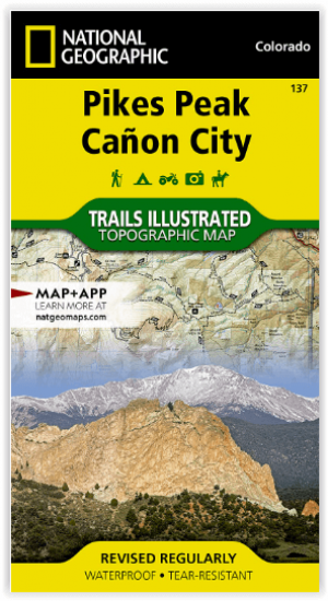
Wandelkaart 137 Pikes Peak & Cañon City - Nat Geo • 9781566953986
Pikes Peak & Cañon City Colorado - National Geographic Productomschrijving: De hoogste top in de zuidelijke Front Range van de Rocky Mountains, Pikes Peak torent boven Colorado Springs uit als een granieten schildwacht. Verken deze en andere geologische attracties zoals Garden of the Gods, Florrisant Fossil Beds en de Royal Gorge met National Geographic's Trails Illustrated kaart van Pikes…
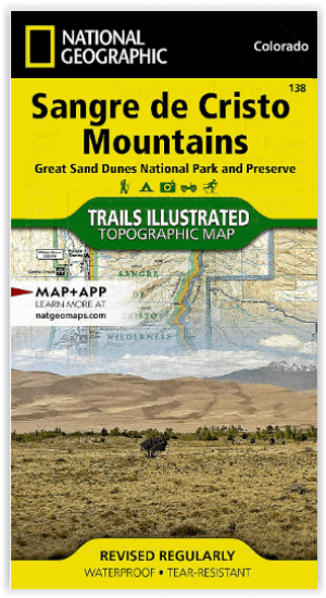
Wandelkaart 138 Sangre de Cristo Mountains - Nat Geo • 9781566953511
Sangre de Cristo Mountains - Great Sand Dunes NP & Preserve Productomschrijving: Verken de kroon van de zuidelijke Rockies en het wonder van de Great Sand Dunes met National Geographic's Trails Illustrated kaart van Sangre de Cristo Mountains. Gemaakt in samenwerking met lokale land management agentschappen, deze deskundig onderzochte kaart levert ongeëvenaarde details en nuttige informati…
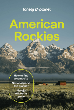
Reisgids American Rockies - Lonely Planet • 9781837588169
The American Rockies - Lonely Planet Productomschrijving: Lonely Planet's local travel experts reveal all you need to know to plan the trip of a lifetime in this latest edition of our guide to the American Rockies. Discover the American Rockies' most popular experiences and best kept secrets from scrambling up to the saddle of Cathedral Rock to watch the sunset turn Sedona red, to getting …

Reisgids Colorado USA - Lonely Planet • 9781837583751
Reisgids Colorado - Lonely Planet Productomschrijving: Spectacular vistas, endless powder runs and mountain towns with echoes of the Old West – Colorado is a place that has long beckoned people to adventure. Lonely Planet will get you to the heart of Colorado, with amazing travel experiences and the best planning advice. Hit the slopes in Aspen, discover the Old West in Durango or marv…

Wandelkaart 144 Durango & Cortez- Colorado - Natgeo • 9781566954631
TOPO Wandelkaart 144 - Durango & Cortez- Colorado - Natgeo Productomschrijving: Deze kaart biedt u alle soorten routes aan in de regio tussen Durango & Cortez in Colrado. UIteraard hebben wij het hier over de wandelroutes, maar eveneens kan er hier aan moutainbiken worden gedaan, of paardrijden op dezelfde routes. Engelse omschrijving: National Geographic's Trails Illustrated map of D…