

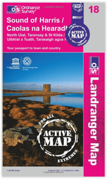
Wandelkaart 18 Sound of Harris Outer Hybrids - OSI
Sound of Harris- als ook Tarasaigh- North Uist & Pabby
Korte omschrijving
Wandelkaarten Outer Hibrids, Schotland van Ordnance Survey. Ideaal voor tochten in Schotland.
Wandelkaart Sound of Harris- Outer Hybrids Schotland - OSI Productbeschrijving: OS Landranger kaart 18 toont de Sound of Harris, en omvat ook Tarasaigh, North Uist, Pabby, Borgh, Ceann een B...

Specificaties
- Uitgever: Ordnance Survey
- ISBN-13: 9780319473412
- HOOFDCATEGORIEËN: Wandelkaart
- Activiteiten: Wandelen, Hiking & Trekking
- Regio: Outer Hibrids, Schotland
- Land: Schotland
- Waterafstotende kaart: Ordnance Survey ACTIVE Landranger Weatherproof Maps
- TOPO's & Stafkaarten: Topografisch wandelen
- Schaal: 1:50000
- Taal: Engels
- Reeks/Serie: Landranger ACTIVE series OSI
- De beroemdste Eilandengroepen: Outer Hybrids (Schotland)
Volledige omschrijving
Wandelkaart Sound of Harris- Outer Hybrids Schotland - OSI
Productbeschrijving: OS Landranger kaart 18 toont de Sound of Harris, en omvat ook Tarasaigh, North Uist, Pabby, Borgh, Ceann een Bhaigh en Aird een Runair. Het gebied is dun bevolkt en een boot is over het algemeen de beste methode van vervoer als u wenst om de bredere omgeving te verkennen.
De OS Landranger kaarten reeks heeft betrekking op Groot-Brittannië met 204 gedetailleerde kaarten, perfect voor dagtochten en korte pauzes. Elke kaart bevat alle informatie die u nodig heeft om dit lokaal gebied te leren kennen en omvat plaatsen van belang, toeristische informatie, picknickplaatsen en campings, plus doorgangsrechten informatie voor Engeland en Wales.
Productdiscription: OS Landranger map 18 shows the Sound of Harris and also includes Taransay, North Uist, Pabby, Borgh, Ceann a Bhaigh and Aird an Runair. The area is sparsely populated, and a boat is generally the best method of transport if you wish to explore the wider area.
The OS Landranger Map series covers Great Britain with 204 detailed maps, perfect for day trips and short breaks. Each map provides all the information you need to get to know your local area and includes places of interest, tourist information, picnic areas and camp sites, plus Rights of Way information for England and Wales.
Locatie op kaart
Gekoppelde artikelen

Wandelkaart 18 Sound of Harris- Outer Hybrids - OSI • 9780319261163
standaard versieWandelkaart Sound of Harris - Outer Hybrids Schotland Productbeschrijving: OS Landranger kaart 18 toont het de Sound of Harris en omvat ook Tarasaigh, North Uist, Pabby, Borgh, Ceann een Bhaigh en Aird een Runair. Het gebied is dun bevolkt en een boot is over het algemeen de beste methode van vervoer als u de bredere omgeving wil verkennen. De OS Landranger kaarten reeks heeft betrekki…

Wandelkaart 18 Sound of Harris Outer Hybrids - OSI • 9780319473412
weatherproof versieWandelkaart Sound of Harris- Outer Hybrids Schotland - OSI Productbeschrijving: OS Landranger kaart 18 toont de Sound of Harris, en omvat ook Tarasaigh, North Uist, Pabby, Borgh, Ceann een Bhaigh en Aird een Runair. Het gebied is dun bevolkt en een boot is over het algemeen de beste methode van vervoer als u wenst om de bredere omgeving te verkennen. De OS Landranger kaarten reeks heef…
Artikelen uit dezelfde regio
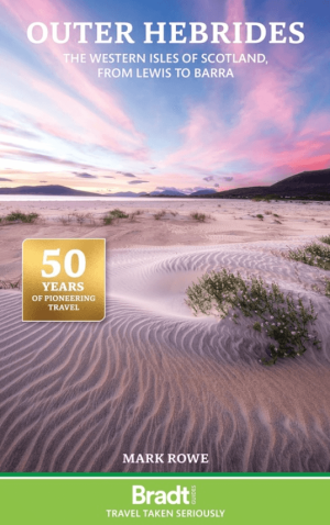
Reisgids Outer Hebrides - Western Isles of Scotland - Bradt • 9781804692615
The Outer Hebrides - Western Isles of Scotland - Bradt Productomschrijving: This updated Bradt Outer Hebrides Guidebook is the only up-to-date guide to focus solely on Scotland’s Western Isles: the islands of Lewis, Harris, St Kilda, Berneray, North Uist, Benbecula, South Uist, Eriskay, Barra and Vatersay. Informed and intimate, this guidebook is ideal for people who travel with curious m…
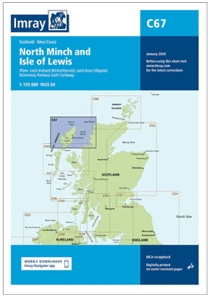
Passage kaart C67 North Minch en Lewis eiland, Outer Hybrids • 9781846239632
Passagekaart North Minch en Lewis eiland, Outer Hybrids Schotland Productomschrijving: Voor deze editie zijn magnetische variatiecurves toegevoegd. De kaart is volledig geactualiseerd.. (Freytag & Berndt) - 1:155.000 Kaart omvat: De westkust van Schotland van Rubha Reidh tot Cape Wrath, en het eiland Lewis, inclusief North Harris en een deel van South Harris. Rasterlijnen van één minuu…
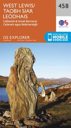
Wandelkaart 458 West Lewis- Outer Hybrids Schotland - OSI • 9780319247099
Wandelkaart West Lewis - Outer Hybrids Schotland Omvat ook: Callanish & Great Bernera Productbeschrijving: Kaart nummer 458 in de OS Explorer kaarten reeks is ideaal voor het ontdekken van het westelijke deel van het eiland Lewis. Lewis en Harris, het grootste eiland in de Buiten-Hebriden heeft vele Lochs om te verkennen en een meer ruigere kustlijn dan het oosten van het eiland. Ander…

Wandelkaart 457 South East Lewis- Outer Hybrids Schotland - OSI • 9780319247082
Wandelkaart South East Lewis - Outer Hybrides Schotland Omvat ook: Loch Eireasort & Shiant Islands. Productbeschrijving: Kaart nummer 457 dekt Zuid-Oosten van Lewis op de Buiten hybrids in Schotland, als ook Loch Eireasort en de Shiant eilanden. Hoogtepunten van het gebied zijn Zuid-Lewis, Harris en North Uist. Ook Eisgein, Eirasort Loch, Loch Sealg en Lemreway zijn vertegenwoordigd. D…
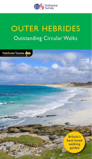
Wandelgids 085 Pathfinder guides Outer hebrides Schotland - OS • 9780319092552
Wandelgids Outer hebrides Schotland - OS Productomschrijving: 122 miles of thrilling Hebridean walking across ten stunning isles, from the Butt of Lewis in the north to Vatersay in the south. Discover crafting heritage, the ancient Callanish Standing Stones and the impressive broch of Dùn Carloway; delight in the variety of birdlife at Balranald and wooded Arinaban; enjoy miles of silver …