
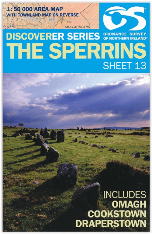
Wandelkaart 13 The Sperrins Ulster N. Ireland - OSNI
De Sperrins of genaamd de Sperrin Mointains
Korte omschrijving
Wandelkaarten Northern Ireland, UK en Ulster, Ireland van Ordnance Survey. Ideaal voor tochten in Noord Ierland.
The Sperrins Ulster Northern Ireland - OSI Productomschrijving: De Sperrins of genaamd de Sperrin Mointains, zijn een gebergte in N.W. Noord-Ierland, meer bepaald in de districten Mid Ulster...

Specificaties
- Uitgever: Ordnance Survey
- ISBN-13: 9781905306848
- HOOFDCATEGORIEËN: Wandelkaart
- Activiteiten: Wandelen, Hiking & Trekking
- Regio: Northern Ireland, UK, Ulster, Ireland
- Land: Noord Ierland
- TOPO's & Stafkaarten: Topografisch wandelen
- Schaal: 1:50000
- Taal: Engels
Volledige omschrijving
The Sperrins Ulster Northern Ireland - OSI
Productomschrijving: De Sperrins of genaamd de Sperrin Mointains, zijn een gebergte in N.W. Noord-Ierland, meer bepaald in de districten Mid Ulster, Fermanagh and Omagh en Derry and Strabane.
Key Features:
- Each map covers an area of 40km x 30km and is based on the Irish Grid co-ordinate system
- The OSNI Discoverer Series is fully compatible with the Republic of Ireland Discovery Series, using the same sheet numbering system, same co-ordinate system, same data source in the border areas and a similar cartographic style
- The OSNI Discoverer Series contains important tourist information including youth hostels, picnic areas, view points, camp sites and shows road classification, way marked walks, paths and numbered national cycle networks
- Some maps include a townland map on the reverse, with an index for easy reference
- Shows water features such as loughs, rivers and canals with names, as well as beaches and marshes
- Easy to use legend printed in English, French and German
- Relief is shown in easy to read coloured layers and includes contours at 10m intervals
Technical Information:
- There are 18 sheets in the series. The sheet numbering system is on an all Ireland basis
- Scale of 1:50 000 i.e. 2cms on the map represents 1km on the ground
- Updated every three years
- Full Irish Grid co-ordinates enabling a unique reference to be given to any feature or point
- Digitally derived from OSNI’s large-scale database
- All International, County and Local Government District boundaries shown.

Locatie op kaart
Overzichtskaarten

OSNI Northern Ireland - OSNI
OSNI Northern Ireland - OSNI

Producten op de overzichtskaart
Klik op een product om naar de detailpagina te gaan.
- Wandelkaart 04 Discoverer Coleraine- Northern Ireland - OSNI
- Wandelkaart 05 Discoverer Ballycastle - Discoverer series - OSNI
- Wandelkaart 07 Discoverer Londonderry- Ulster - N.Ireland - OSNI
- Wandelkaart 08 Ballymoney County Antrim - OSNI
- Wandelkaart 09 Larne County Antrim - OSNI
- Wandelkaart 13 The Sperrins Ulster N. Ireland - OSNI
- Wandelkaart 14 Discoverer Lough Neagh - Antrim - N.Ireland - OSNI
- Wandelkaart 17 Discoverer Lower Lough Erne - OSNI
- Wandelkaart 18 Discoverer Enniskillen & Irvinestown - OSNI
- Wandelkaart 19 Armagh Northern Ireland - Ordnance Survey
- Wandelkaart 20 Discoverer Craigavon- N.Ireland - OSNI
- Wandelkaart 21 Strangford Lough County Cork - OSNI
- Wandelkaart 27 Upper Lough Erne (Lisnaskea) - OSNI
- Wandelkaart 28 Monaghan-Keady (Castleblayney) - OSNI
- Wandelkaart 29 Discoverer The Mournes - OSNI
Artikelen uit dezelfde regio

Reisgids Secret Belfast - Editions Jonglez • 9782361952631
Reisgids Secret Belfast - Editions Jonglez Productomschrijving: Laat Secret Belfast je rondleiden door het ongewone en onbekende. Verlaat de gebaande paden met deze fascinerende reisgids over Belfast en laat onze lokale experts u de goed verborgen schatten van deze geweldige stad laten zien. Ideaal voor lokale bewoners, nieuwsgierige bezoekers en leunstoelreizigers. Ontdek hoe de stad…

Wegenatlas Britain Road Atlas 2027 - AA Road Maps • 9780749584566
Britain Road Atlas 2027 - AA Road Maps Productomschrijving: This top-selling road atlas showcases Britain’s clearest mapping from the experts at the AA. Each page has been titled with its geographical location so you can turn to the page you need more easily. Wide and narrow minor roads, National Trust, English and World Heritage sites and hard-to-find places are shown. There are 112 city…

Wandelkaart 20 Discoverer Craigavon- N.Ireland - OSNI • 9781905306916
Wandelkaart Craigavon - N. Ireland Productomschrijving: Omvat onder meer: Lisburn, Lurgan, Bandridge & Slieve Croob. Noord Ierland is een prachtige locatie voor wandelaars en toeristen. De toeristen series kaart van Ordnance Servey, is een kwalitaieve kaart vol informatie die u zeker allemaal kunt gebruiken op deze routes. Engelse omschrijving: With its 2 cm to 1 km, 1? inches to 1 mi…

Wegenatlas Groot Brittanië & Noord Ierland - Freytag & Berndt • 9783707924985
Groot Brittanië & Noord Ierland - Freytag & Berndt Productomschrijving: De ideale autoatlas voor Groot-Brittannië en Noord-Ierland Het dichte wegennet is nauwkeurig weergegeven en veel uitstapjes zijn op de kaart aangegeven. Auto- en motorrijders waarderen de nauwkeurige cartografie vooral voor het plannen en oriënteren ter plaatse. Om de reis ook met een camper, caravan of kampeerwag…
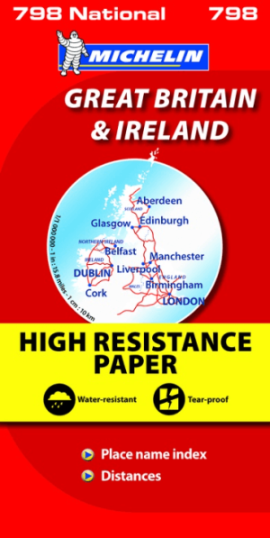
Landkaart Wegenkaart 798 Groot-Brittannië & Ierland - Michelin • 9782067137998
Wegenkaart Groot-Brittannië & Ierland - Michelin Productomschrijving: Deze Nationale kaart van Groot-Brittannië & Ierland, biedt een gedetailleerd overzicht van alle plaatsen. het wegennet wordt verfijnd aangeduid met allerhande symbolen, en voorziet in alle behoeftes, of u op zoek bent naar specifieke wegen, of zich snel uit de voeten wil maken, de plaatsnamenindex, en toeristische inform…