
Wandelkaart 1 Table Mountain NP Capetown Zuid Afrika - Slingsby
Table Mountain National Park series

Korte omschrijving
Wandelkaart Table Mountain Capetown Zuid Afrika Productomschrijving: “Table Mountain” is Map 1 in our 3 map series of the Table Mountain National Park. Location: Cape Town, Western Cape...

Specificaties
- Uitgever: Tracks4Africa
- ISBN-13: 9781920377373
- HOOFDCATEGORIEËN: Wandelkaart
- Activiteiten: Wandelen, Hiking & Trekking
- Regio: Zuid Afrika
- Land: Zuid-Afrika
- Schaal: 1:20000
- Editie: 15
- Taal: Engels
Volledige omschrijving
Wandelkaart Table Mountain Capetown Zuid Afrika
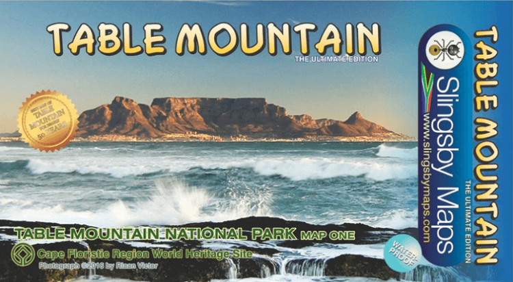
Productomschrijving: “Table Mountain” is Map 1 in our 3 map series of the Table Mountain National Park.
Location: Cape Town, Western Cape, South Africa
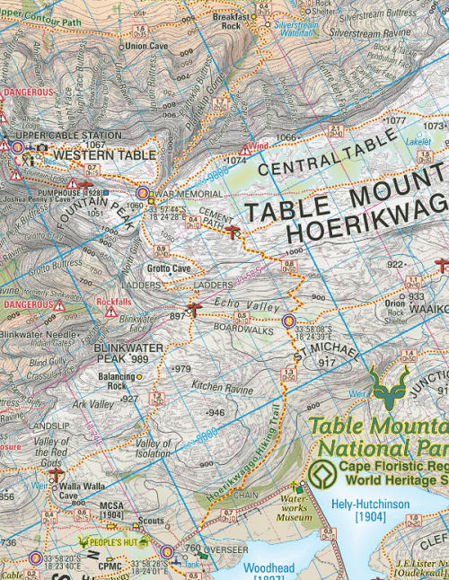
This highly detailed map shows all approved paths on the mountain and includes full GPS information. The map shows the Hoerikwaggo and the People’s Trail, and covers the area from Signal Hill to Devil’s Peak and Llandudno to Constantia Nek and the Vlakkenberg Plateau. This is the only map of the mountain endorsed by the Table Mountain National Park, and approved by the Mountain Club of South Africa.
Distances and estimated times shown for all paths above the Contour Path or Pipe Track
- Long/Lat grid at 10" intervals as well as the 200 metre square UTM grid; Completely revised vegetation distribution
- Some vanished paths removed; some new ones added
- Three Firs, Oudekraal Ravine and Constantia Corner routes upgraded; Clearer depiction of many features, including dangerous routes
- All approved paths, with DD MM SS GPS coordinates for major junctions
- 10 metre contours & delicate colour height shading bring the topography to life
- Forty quality photos of the most prominent mountain flowers, as well as line sketches of flora and fauna are included on the map
- A sketch of the view from Maclear's Beacon, with names and distances to prominent peaks on the eastern horizon
- Written descriptions of 23 of the most popular routes, with distances and approximate times
- Important safety instructions, emergency telephone numbers, Cableway and National Park details
- A2+ full colour map
- Scale 1:20 000 (5cm = 1km)
- 10m contours; relief shading
- 200m2 UTM grid, WGS84
- 10" Long/Lat grid
- Coords in DDMMSS format at important junctions
- 23 Route descriptions
- Safety information & contact numbers
- WATERPROOF and TEAR RESISTANT in plastic sleeve

Locatie op kaart
Artikelen uit dezelfde regio
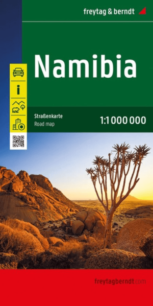
Landkaart Wegenkaart Namibië - Freytag & Berndt • 9783707924749
Wegenkaart Namibië - Freytag & Berndt Productomschrijving: Deze wegenkaart Namibië van Freytag & Berndt is een praktische kaart voor reizigers die Namibië met de auto, camper of 4x4 willen verkennen. Het land vraagt om overzicht: de afstanden zijn groot, de landschappen open en de routes lopen vaak door dunbevolkte gebieden waar een schermpje niet altijd genoeg context geeft. Deze kaart he…
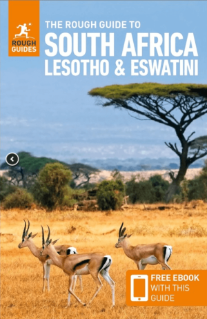
Reisgids South Africa - Lesotho & Eswatini - Rough Guides • 9781839059780
South Africa - Lesotho & Eswatini - Rough Guides Productomschrijving: Ontdek Zuid-Afrika, Lesotho en Swaziland met de meest scherpzinnige en onderhoudende gids op de markt. Of je nu van plan bent om op safari te gaan in het Kruger National Park, de heerlijke wijnen van de Westkaap te proeven of het dorp te verkennen waar Nelson Mandela opgroeide, The Rough Guide to South Africa, Lesotho & …
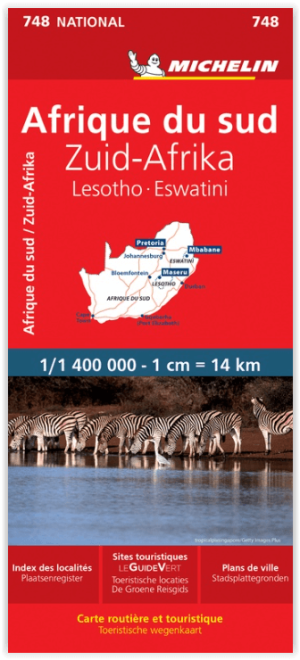
Landkaart Wegenkaart 748 Zuid-Afrika - Michelin • 9782067228986
Wegenkaart Zuid-Afrika - Michelin Productomschrijving: Deze Nationale kaart van Zuid Afrika, werd ontwikkeld, om zich snel uit de voeten wil maken, met plaatsnamenindex, en toeristische informatie, geven u alle elementen om dat werkelijkheid te maken. De kaarten zijn gemakkelijk leesbaar en gedrukt op sterk papier. De rode Michelin wegenkaarten met schaal 1:300.000 zijn dé betrouwbare …

Reisgids Country Guide Botswana 2025-2026 - Gallimard • 9782305116754
Reisgids Botswana 2025-2026 - Gallimard Productomschrijving: Malgré sa beauté, le Botswana reste une destination quasiment ignorée des pays francophones. On dit de sa région Nord qu'elle serait le dernier Eden sauvage de l'Afrique. Le Botswana offre comme un royaume, un dernier lambeau de l'Afrique authentique où les traces de l'homme ne recouvrent pas encore celles des animaux.
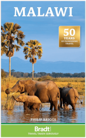
Reisgids Malawi Zuid-Afrika - Bradt Travel Guides • 9781804692554
Reisgids Malawi Zuid-Afrika - Bradt Productomschrijving: This updated Bradt Malawi Guidebook remains the only standalone practical guide to this magical southeast African destination produced by a mainstream publisher. Long known as the ‘warm heart of Africa’, thanks to its traditional welcome, Malawi is a small country with a big lake – accounting for around a third of its territory – and…