

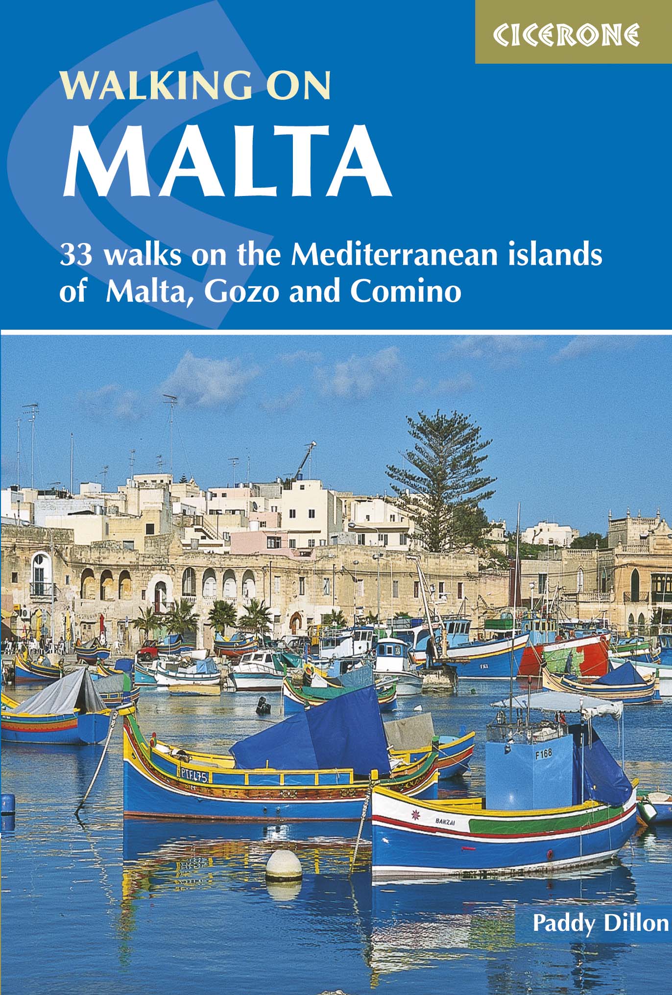
Wandelgids Walking on Malta- Gozo & Comino - Cicerone
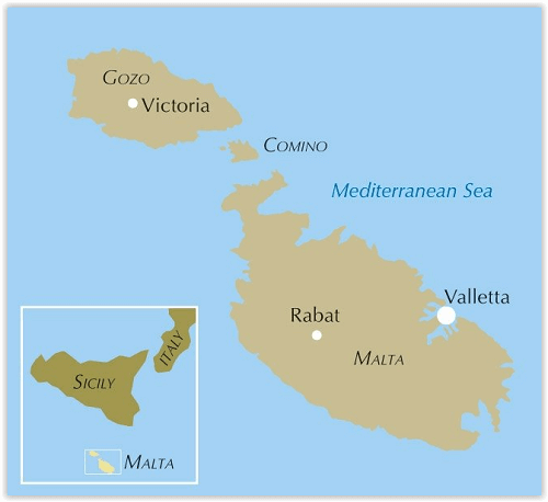
Malta en de naburige eilanden van Gozo en Comino
Korte omschrijving
Wandelgidsen Middenlandse zee van CICERONE Press. Ideaal voor tochten in Malta.
Wandelgids - Walking on Malta- Gozo & Comino - Cicerone Productomschrijving: Deze gids beschrijft 33 wandelingen op Malta en de naburige eilanden van Gozo en Comino. Wandelingen in het algem...

Specificaties
- Uitgever: CICERONE Press
- ISBN-13: 9781852848224
- HOOFDCATEGORIEËN: Wandelgids
- Activiteiten: Wandelen, Hiking & Trekking
- Auteur: Paddy Dylan
- Regio: Middenlandse zee
- Land: Malta
- Editie: 3
- Taal: Engels
- Grote Eilanden: Malta, Middenlandse Zee

Volledige omschrijving
Wandelgids - Walking on Malta- Gozo & Comino - Cicerone
Productomschrijving: Deze gids beschrijft 33 wandelingen op Malta en de naburige eilanden van Gozo en Comino. Wandelingen in het algemeen variëren van 3 tot 17 km en omvatten Valetta, een paar erfgoed routes, kust-wandelingen en verkenningen van het binnenland, met inbegrip van de 30km "Victoria Lines"' route tussen Mgarr en Bahar ic-Caghaq. Malta biedt het hele jaar door wandelingen aan, door zijn klimaat eigen aan de middenlandse zee.
Description: This guidebook describes 33 walks on Malta and its neighbouring islands of Gozo and Comino. Walks generally range from 3 to 17 km, and include Valetta, heritage trails, coastal walks and explorations inland, including the 30km 'Victoria Lines' route between Mgarr and Bahar ic-Caghaq. Malta offers year-round walking.
Seasons:
Spring is best, high summer perhaps too hot for strenuous walking: winter walking is fine, but it can be rainy and even a little cold.
Centres:
Malta is about the same size as the Isle of Wight, so anywhere will make a fine base for walking.
Difficulty:
Half and full-day walks, usually easy, but with some longer stretches along the clifftops.
Must See:
Old Valetta (a World Heritage Site); excellent walking on clifftop coastlines away from the towns; the historic buildings and landmarks of the many peoples who have come to Malta; the circuit of Comino.
Locatie op kaart
Artikelen uit dezelfde regio
Landkaart Wegenkaart Cyprus - Reise Know-How Verlag • 9783831773114
Wegenkaart Cyprus - Reise Know-How Verlag Productomschrijving: De Reise Know-How wegenkaart van Cyprus is een betrouwbare, gedetailleerde en duurzame landkaart voor wie Cyprus zelfstandig wil verkennen. Deze hoogwaardige reiskaart is ideaal voor gebruik tijdens een rondreis met de auto, camper, motor of fiets en biedt alle informatie die je nodig hebt voor een zorgeloze reisplanning. …
Passage kaart M020 Middellandse Zee, Oost - Imray (F&B) • 9781786792600
Passagekaart Middellandse Zee, Oost - Imray (F&B) Productomschrijving: Grote kaart van het Oostelijk deel van de Middellandse Zee. Van de oostkust van Corsica en Sardinia tot Israel, Port Said (Egypte) en de Zwarte zee. Inclusief het Zuidelijk deel van de Adriatische zee en de Ionische zee. Sluit aan op kaart M10 met het Westelijk deel van de Middellandse zee. Op schaal 1: 2.750.000 …

Passage kaart M019 Capo Palinuro to Punta Stilo - Imray (F&B) • 9781786790934
Passagekaart Capo Palinuro to Punta Stilo - Imray (F&B) Productomschrijving: Italië - Westkust Plannen Op schaal 1: 325.000 De Imray Charts M-serie bestrijken het Middellandse Zee gebied, en biedt dekking van populaire gebieden op kaarten die speciaal zijn ontworpen voor de behoeften van zeilers. Geschikt voor het plannen van routes en grotere kaarten voor het navigeren in kustwatere…
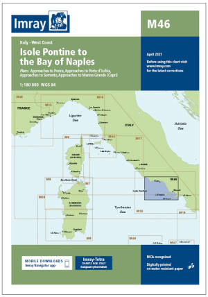
Passage kaart M046 Isole Pontine tot de Baai van Napels - Imray • 9781786791047
Passagekaart Isole Pontine tot de Baai van Napels - Imray Productomschrijving: Voor deze editie zijn magnetische variatiecurves toegevoegd. De kaart is volledig geactualiseerd.. (Freytag & Berndt) - 1:180.000 Kaart omvat: de Italiaanse Westkust De Imray Charts M-serie voor de Middellandse Zee biedt dekking van populaire gebieden op kaarten die speciaal zijn ontworpen voor de behoefte…

Landkaart Wegenkaart 3318 Adventure map Cyprus - Nat Geo • 9781566956239
Wegenkaart Adventure map Cyprus - Nat Geo Productomschrijving: National Geographic's Cyprus Adventure Map provides global travelers with the perfect combination of detail and perspective in a highly functional travel tool. Cities and towns are clearly indicated and easy to find in the user-friendly index. A road network complete with distances and designations for roads, motorways, express…